Abercorn in Brome-Missisquoi, Québec — Central Canada (French-Canadian)
A Tribute to the Pioneers of Abercorn
⎯⎯⎯
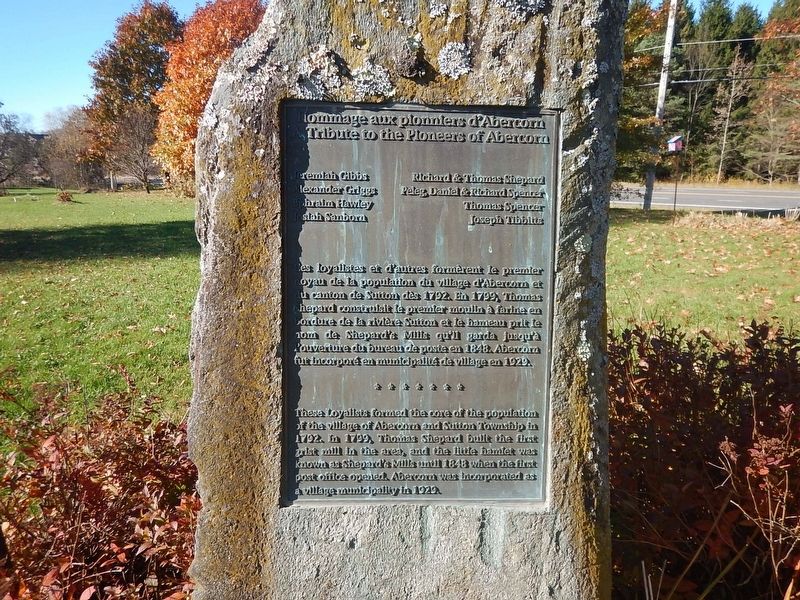
Hommage aux pionniers d'Abercorn
Photographed by Kevin Craft, October 23, 2026
1. A Tribute to the Pioneers of Abercorn / Hommage aux pionniers d'Abercorn Marker
{English text}
These Loyalists formed the core of the population of the village of Abercorn and Sutton Township in 1792. In 1799, Thomas Shepard built the first grist mill in the area, and the little hamlet was known as Shepard’s Mills until 1848 when the first post office opened. Abercorn was incorporated as a village municipality in 1929.
{French text}
Ces loyalistes et d’autres formèrent le premier noyau de la population du village d’Abercorn et du canton de Sutton dès 1792. En 1799, Thomas Shepard construisit le premier moulin à farine en bordure de la rivière Sutton et le hameau prit le nom de Shepard’s Mills qu’il garda jusqu’à l’ouverture du bureau de poste en 1848. Abercorn fut incorporé en municipalité de village en 1929.
Topics. This historical marker is listed in this topic list: Settlements & Settlers.
Location. 45° 2.526′ N, 72° 39.259′ W. Marker is in Abercorn, Québec, in Brome-Missisquoi. It is at
this page online

Regionally, this marker is in the Outaouais & Eastern Townships. It is also in Central Canada. Globally, it is in North America, the Western Hemisphere, and the Western World. Historically, it finds itself in what was once a British colony, the Viceroyalty of New France, the Haudenosaunee (Iroquois) Confederacy, and Rupert’s Land.
Other nearby markers. At least 8 other markers are within 16 kilometers of this marker, measured as the crow flies: Sutton (approx. 7.7 kilometers away); Sutton War Memorial (approx. 7.8 kilometers away); Adélard Godbout (approx. 14.5 kilometers away); Longley Covered Bridge (approx. 15 kilometers away in the U.S.); First Women's Institute (approx. 15.2 kilometers away); Quebec Women's Institutes (approx. 15.2 kilometers away); Fuller Covered Bridge (approx. 15.5 kilometers away in the U.S.); Union Church (approx. 15.7 kilometers away in the U.S.).
Photographed by Kevin Craft, October 23, 2026
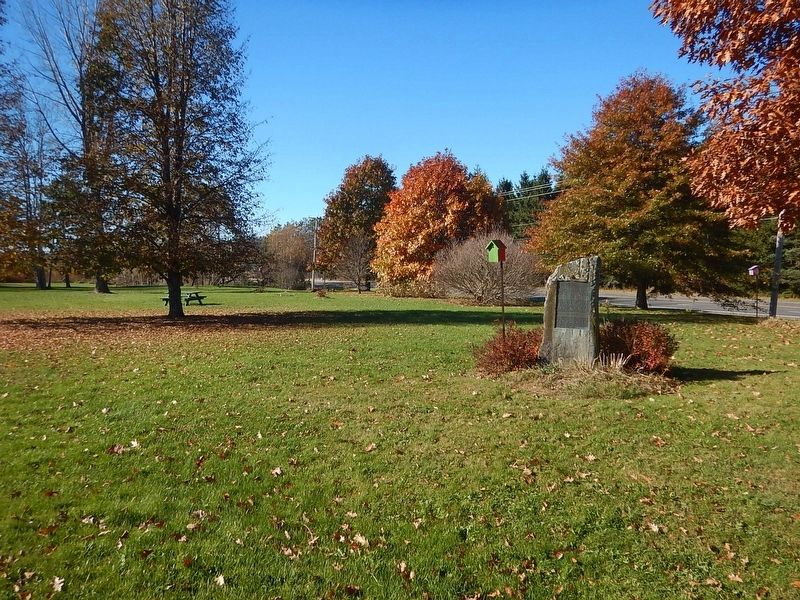
2. Wideview of A Tribute to the Pioneers of Abercorn / Hommage aux pionniers d'Abercorn Marker
Credits. This page was last revised on October 28, 2026. It was originally submitted on October 28, 2026, by Kevin Craft of Bedford, Quebec. This page has been viewed 7 times since then. Photos: 1, 2. submitted on October 28, 2026, by Kevin Craft of Bedford, Quebec.
