Port Melbourne in Port Phillip, Victoria, Australia — Oceania
Neptune
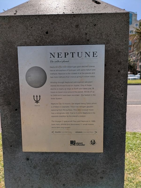
The coldest planet
| — | Solar System Trail | — |
Photographed by Dean Barton-Ancliffe, September 29, 2026
1. Neptune Marker
the coldest of all the planets and has more methane than Uranus giving it a bluer colour. Whirling through Neptune's atmosphere are giant storms like those found on Jupiter. One of these storms is nearly as large as Earth and takes just 18 hours to travel once around the planet. Winds of up to 2400 km/h have been recorded - the fastest in the Solar System.
Neptune has 13 moons, the largest being Triton which is 2700km in diameter. Triton has nitrogen geysers spewing from the surface. This very unusual moon has a retrograde orbit, that is it orbits Neptune in the opposite direction to the planet's rotation.
The Voyager 2 spacecraft flew past Neptune in 1989, took many photos and discovered 11 small moons and a faint ring system.
< Pluto 1400 Metres - Uranus 1600 Metres >
Erected by Planet Wheeler and City of Port Phillip. (Marker Number 9.)
Topics and series. This historical marker is listed in these topic lists: Air & Space • Exploration. In addition, it is included in
this page online
Location. 37° 50.648′ S, 144° 56.37′ E. Marker is in Port Melbourne, Victoria, in Port Phillip. It is on Beach Street (Victoria Route 33) 0.1 kilometers east of Dow Street, on the left when traveling west. Touch for map. Marker is at or near this postal address: 10 Beach Street, Port Melbourne VIC 3207, Australia. Touch for directions.

Regionally, it is in Oceania, in Australasia, in the Pacific Ocean, in South Pacific, on the Pacific Rim, in the Western World, and in the Anglosphere. Historically, it finds itself in what was once a British colony.
Other nearby markers. At least 8 other markers are within walking distance of this marker: Answering the Call - Naval Heritage Foundation (within shouting distance of this marker); Port Melbourne Foreshore (about 180 meters away, measured in a direct line); Sandridge Town Pier (about 180 meters away); Great War Drinking Fountain Memorial Port Melbourne (about 210 meters away); War Memorial Port Melbourne (about 210 meters away); The Liardet Memorial (approx. 0.3 kilometers away); The Sandridge Hotel
Photographed by Dean Barton-Ancliffe, September 29, 2026
2. Neptune Model and Marker
Also see . . . Solar System Trail. Walks in Port Phillip
Navigate the solar system from the sun to the outer planets by following the bike and walking trail on the City of Port Phillip’s foreshore.(Submitted on October 28, 2026, by Dean Barton-Ancliffe of Rowville, Victoria.)
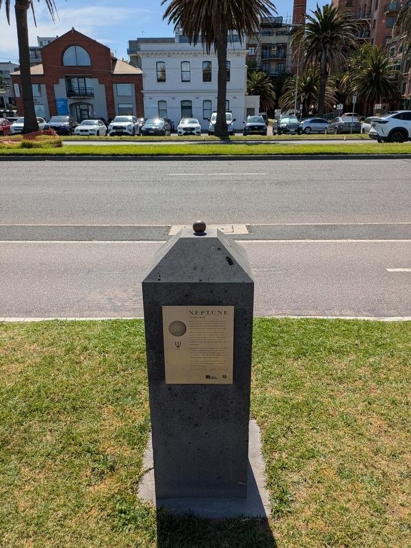
In 2008 artists and scientists constructed a model of our solar system to a scale of one to one billion between St Kilda and Port Melbourne. Instead of navigating 4.5 billion kilometres from the sun to Neptune, and 5.9 billion kilometres from the sun to Pluto, you only travel 4.5 kilometres and 5.9 kilometres.
The foreshore has always been a superb location to view the sun setting on the western horizon. Port Phillip Bay’s crescent shape is perfect for a model where the ‘sun’ can be viewed from every one of the nine model locations.
Credits. This page was last revised on October 30, 2026. It was originally submitted on October 28, 2026, by Dean Barton-Ancliffe of Rowville, Victoria. This page has been viewed 8 times since then. Photos: 1, 2. submitted on October 28, 2026, by Dean Barton-Ancliffe of Rowville, Victoria. • Andrew Ruppenstein was the editor who published this page.
