Glendale in Hardin County, Kentucky — The American South (East South Central)
Cecilia United Methodist Church Bell
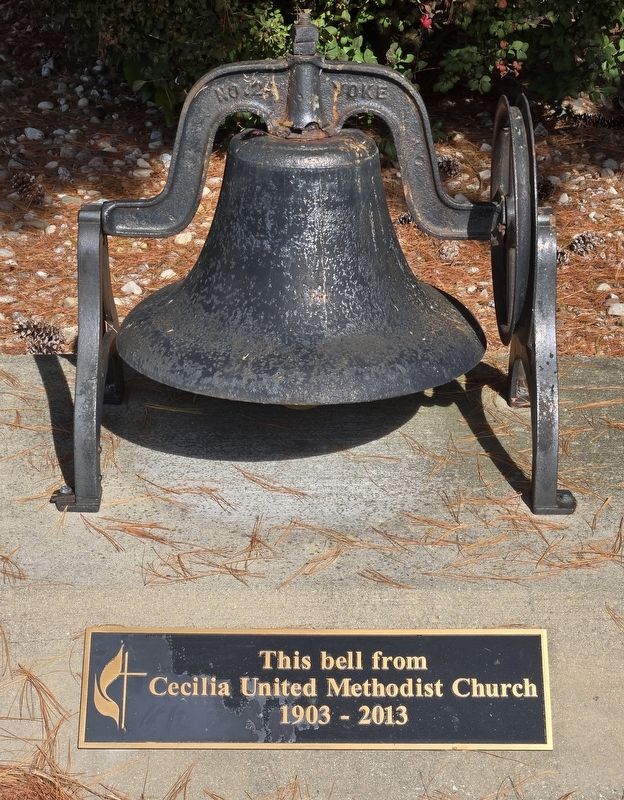
Photographed by Bradley Owen, October 26, 2026
1. Cecilia United Methodist Church Bell Marker
Cecilia United Methodist Church
1903 - 2013
Erected by Cecilia United Methodist Church.
Topics and series. This historical marker is listed in this topic list: Religion & Religious Structures. In addition, it is included in the Historic Bells series list. A significant historical year for this entry is 1903.
Location. 37° 36.1′ N, 85° 54.534′ W. Marker is in Glendale, Kentucky, in Hardin County. It is on West Main Street (Kentucky Route 222) west of North Beech Street ( Route 1136), on the right when traveling west. Touch for map. Marker is at or near this postal address: 118 West Main Street, Glendale KY 42740, United States of America. Touch for directions.

Regionally, this marker is in the American South and specifically in the Upper South. Globally, it is in North America, the Western Hemisphere, the Western World, and the Anglosphere. Historically, it finds itself in what was once the territory of the Mississippian Culture and also the Antebellum South.
Other nearby markers. At least 8 other markers are within 7 miles of this marker, measured as the crow flies: Glendale Methodist Church
this page online
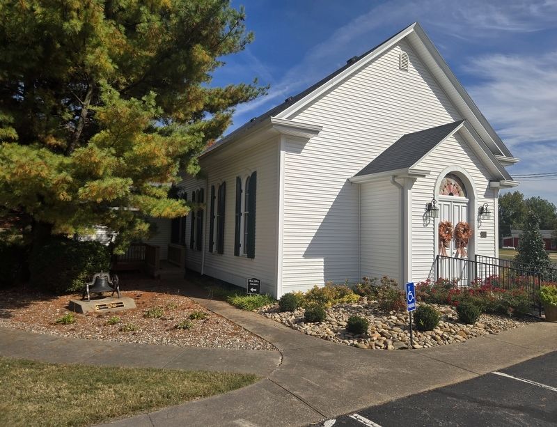
Photographed by Bradley Owen, October 26, 2026
2. Cecilia United Methodist Church Bell and Marker
Credits. This page was last revised on October 28, 2026. It was originally submitted on October 28, 2026, by Bradley Owen of Morgantown, West Virginia. This page has been viewed 5 times since then. Photos: 1, 2. submitted on October 28, 2026, by Bradley Owen of Morgantown, West Virginia.
