Arrow Rock in Saline County, Missouri — The American Midwest (Upper Plains)
Anthony O’Sullivan
Photographed by Craig Doda, September 12, 2026
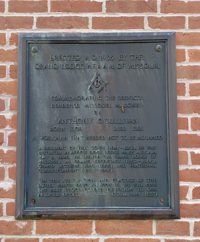
1. Anthony O’Sullivan Marker
Commemorating the services rendered Missouri Masonry by Anthony O'Sullivan
A workman that needed not to be ashamed.
A resident of this town (1841-1852), he was initiated in Arrow Rock Lodge No. 55 A.F. & A.M. May 9, 1846. He served the Grand Lodge of Missouri as Grand Secretary (1852-1866), Grand Lecturer (1855-1866), and Fraternal Correspondent (1855-1866).
"In the cultivation and practice of the duties which devolve upon us, we will give the best proof of our devotion to our beloved order." - O'Sullivan, (1855).
Erected 1935 by The Grand Lodge A.F. & A.M. Of Missouri.
Topics. This historical marker is listed in this topic list: Fraternal or Sororal Organizations. A significant historical date for this entry is May 9, 1846.
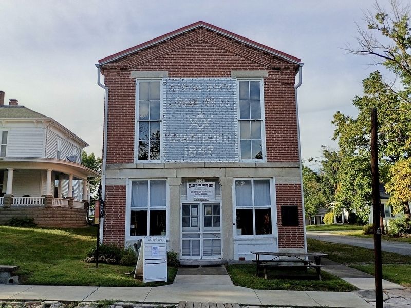
Location. 39° 4.191′ N, 92° 56.811′ W. Marker is in Arrow Rock, Missouri, in Saline County. It is at the intersection of Main Street and 5th Street, on the right when traveling west on Main Street. Touch for map. Marker is at or near this postal address: 502 Main St, Arrow Rock MO 65320, United States of America. Touch for directions.

Regionally, this marker is in the
this page online
Other nearby markers. At least 8 other markers are within walking distance of this marker: Aderton House (within shouting distance of this marker); The Santa Fe National Historic Trail (about 300 feet away, measured in a direct line); The Santa Fe Trail (about 300 feet away); Arrow Rock (about 400 feet away); Capt. John Burruss' Bell (about 500 feet away); J. Huston Tavern (about 500 feet away); Dr. William Price House (about 600 feet away); a different marker also named Arrow Rock (about 600 feet away). Touch for a list and map of all markers in Arrow Rock.
Another marker is no longer nearby. Aderton House (was within shouting distance of this marker but has been replaced with another marker now near it).
Photographed by Craig Doda, September 12, 2026
2. Anthony O’Sullivan Marker
Photographed by Craig Doda, September 12, 2026
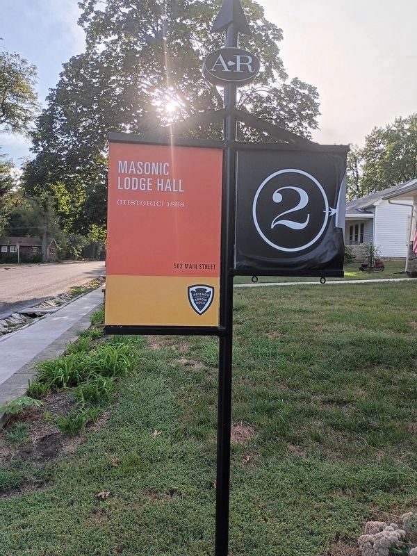
3. Masonic Lodge Hall sign
Credits. This page was last revised on November 1, 2026. It was originally submitted on October 30, 2026, by Craig Doda of Napoleon, Ohio. This page has been viewed 5 times since then. Photos: 1, 2, 3. submitted on October 30, 2026, by Craig Doda of Napoleon, Ohio. • Andrew Ruppenstein was the editor who published this page.
