Port Royal in Montgomery County, Tennessee — The American South (East South Central)
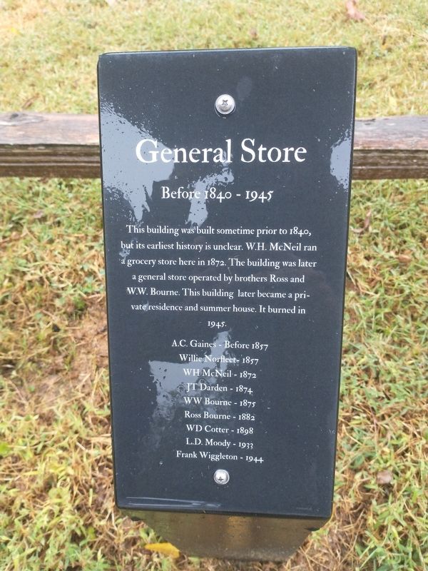
General Store
Before 1840 - 1945
Photographed by Tom Bosse, October 2, 2026
1. General Store Marker
This building was built sometime prior to 1840, but its earliest history is unclear. W.H. McNeil ran a grocery store here in 1872. The building was later a general store operated by brothers Ross and W.W. Bourne. This building later became a private residence and summer house. It burned in 1945.
A.C. Gaines, before 1857 • Willie Norfleet - 1857 • WH McNeil - 1872 • JT Darden - 1874 • WW Bourne - 1875 • Ross Bourne - 1882 • WD Cotter - 1898 • L.D. Moody - 1933 • Frank Wiggleton - 1944
Erected by Port Royal State Historic Park.
Topics. This historical marker is listed in these topic lists: Industry & Commerce • Settlements & Settlers. A significant historical year for this entry is 1841.
Location. 36° 33.24′ N, 87° 8.505′ W. Marker is in Port Royal, Tennessee, in Montgomery County. It is at the intersection of Port Royal Road (Tennessee Route 238) and Old Clarksville Hwy, on the right when traveling north on Port Royal Road. Marker is located at the Port Royal State Historic Park. Touch for map. Marker is at or near this postal address: 3300 Old Clarksville Hwy, Adams TN 37010, United States of America.
this page online

Regionally, this marker is in Middle Tennessee and in the Highland Rim. It is also in the American South and specifically in the Upper South. Globally, it is in North America, the Western Hemisphere, the Western World, and the Anglosphere. Historically, it finds itself in what was once the territory of the Mississippian Culture, one of the Confederate States of America, and the Antebellum South.
Other nearby markers. At least 8 other markers are within walking distance of this marker: Port Royal (here, next to this marker); a different marker also named General Store (a few steps from this marker); Blacksmith Shop & Warehouse (a few steps from this marker); The Enslaved at Port Royal (a few steps from this marker); The Town of Port Royal (a few steps from this marker); Legacy of the Enslaved (a few steps from this marker); Benevolent Treasure (within shouting distance of this marker); Stores of Port Royal (within shouting distance of this marker). Touch for a list and map of all markers in Port Royal.
Also see . . . Port Royal State Park. (Submitted on October 31, 2026, by Tom Bosse of Jefferson City, Tennessee.)
Photographed by Tom Bosse, October 2, 2026
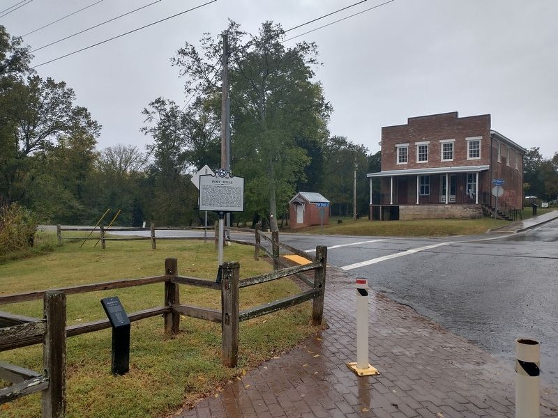
2. General Store Marker
Credits. This page was last revised on November 4, 2026. It was originally submitted on October 31, 2026, by Tom Bosse of Jefferson City, Tennessee. This page has been viewed 5 times since then. Photos: 1, 2. submitted on October 31, 2026, by Tom Bosse of Jefferson City, Tennessee. • James Hulse was the editor who published this page.
