Port Royal in Montgomery County, Tennessee — The American South (East South Central)
The Tavern Lot
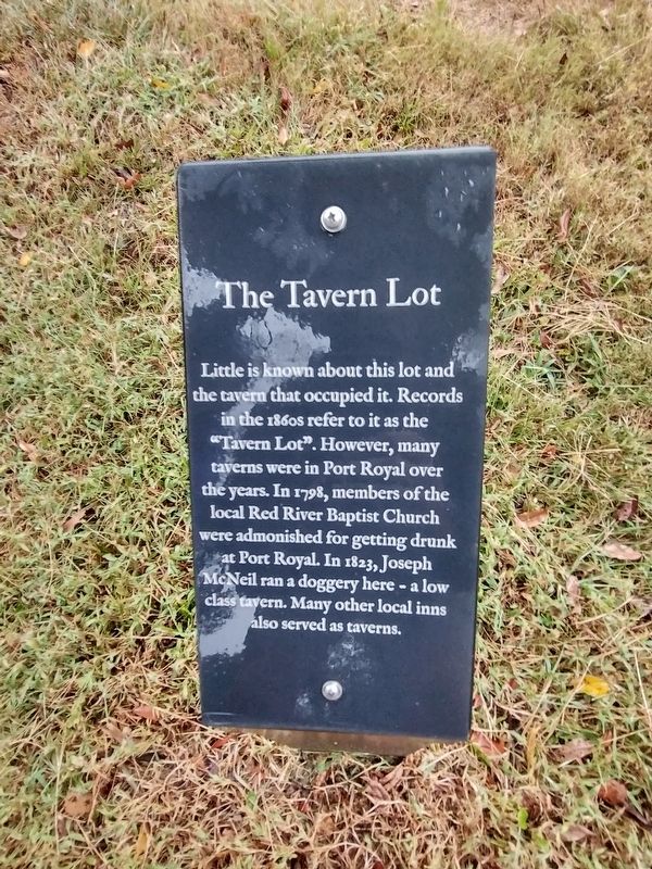
Photographed by Tom Bosse, October 2, 2026
1. The Tavern Lot Marker
Little is known about this lot and the tavern that occupied it. Records in the 1860s refer to it as the "Tavern Lot". However, many taverns were in Port Royal over the years. In 1798, members of the local Red River Baptist Church were admonished for getting drunk at Port Royal. In 1823, Joseph McNeil ran a doggery here - a low class tavern. Many other local inns also served as taverns.
Erected by Port Royal State Historic Park.
Topics. This historical marker is listed in these topic lists: Industry & Commerce • Settlements & Settlers. A significant historical year for this entry is 1798.
Location. 36° 33.245′ N, 87° 8.464′ W. Marker is in Port Royal, Tennessee, in Montgomery County. It can be reached from the intersection of Port Royal Road (Tennessee Route 238) and Old Clarksville Hwy, on the right when traveling north. Marker is located at the Port Royal State Historic Park. Touch for map. Marker is at or near this postal address: 3300 Old Clarksville Hwy, Adams TN 37010, United States of America. Touch for directions.

Regionally, this marker is in Middle Tennessee and in the Highland Rim. It is also in the
this page online
Other nearby markers. At least 8 other markers are within walking distance of this marker: Inspector's Lot (a few steps from this marker); Doctor's Office & General Store (a few steps from this marker); Inn & Tavern (within shouting distance of this marker); Sulpher Fork Bridge (within shouting distance of this marker); Benevolent Treasure (within shouting distance of this marker); Stores of Port Royal (within shouting distance of this marker); Legacy of the Enslaved (within shouting distance of this marker); The Town of Port Royal (within shouting distance of this marker). Touch for a list and map of all markers in Port Royal.
Also see . . . Port Royal State Park. (Submitted on October 31, 2026, by Tom Bosse of Jefferson City, Tennessee.)
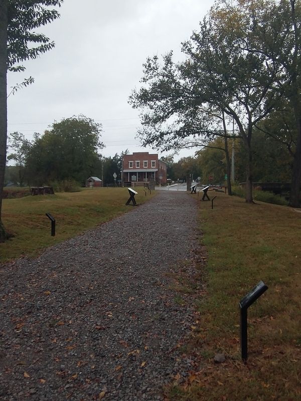
Photographed by Tom Bosse, October 2, 2026
2. The Tavern Lot Marker
Credits. This page was last revised on November 4, 2026. It was originally submitted on October 31, 2026, by Tom Bosse of Jefferson City, Tennessee. This page has been viewed 4 times since then. Photos: 1, 2. submitted on October 31, 2026, by Tom Bosse of Jefferson City, Tennessee. • James Hulse was the editor who published this page.
