Port Royal in Montgomery County, Tennessee — The American South (East South Central)
Historic Port Royal
You are standing in what was once a thriving trade center and town
Photographed by Tom Bosse, October 2, 2026
1. Historic Port Royal Marker
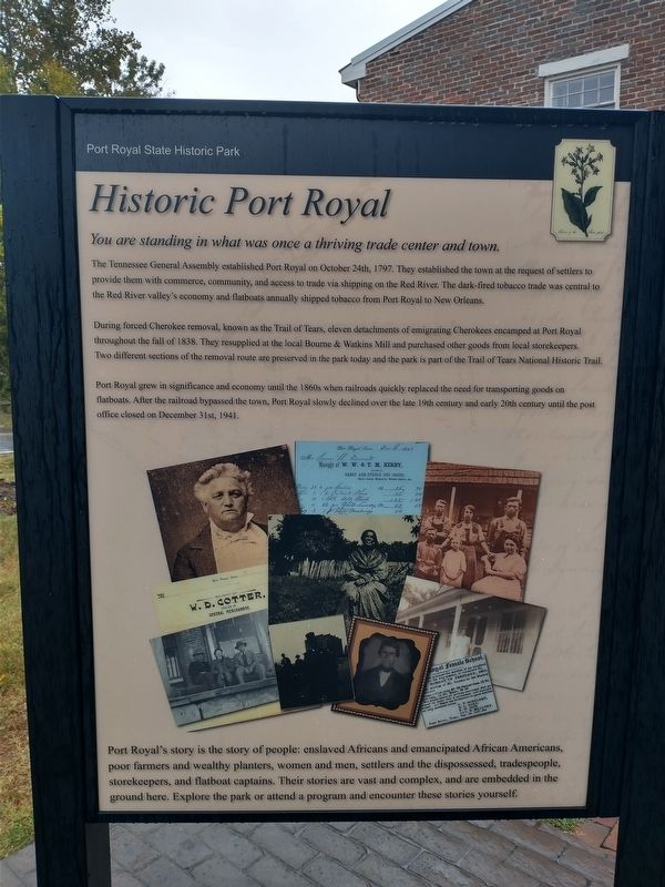
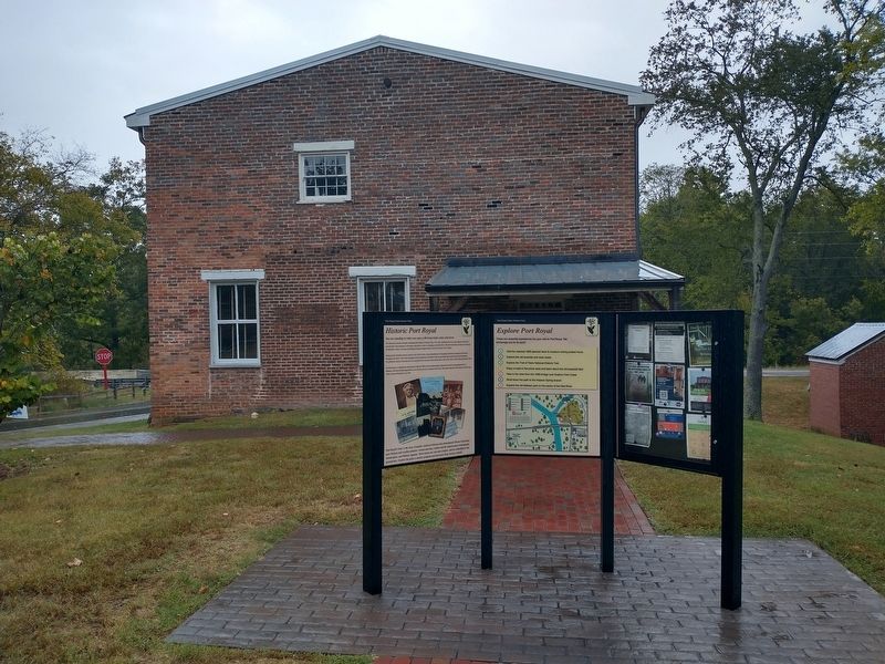
The Tennessee General Assembly established Port Royal on October 24th, 1797. They established the town at the request of settlers to provide them with commerce, community, and access to trade via shipping on the Red River. The dark-fired tobacco trade was central to the Red River valley's economy and flatboats annually shipped tobacco from Port Royal to New Orleans.
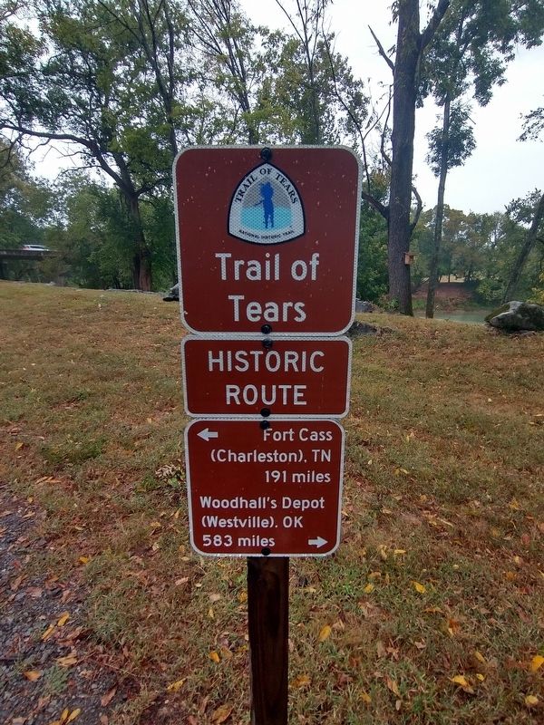
During forced Cherokee removal, known as the Trail of Tears, eleven detachments of emigrating Cherokees encamped at Port Royal throughout the fall of 188. They resupplied at the local Bourne 7 Watkins Mill and purchased other goods from local storekeepers. Two different sections of the removal route are preserved in the park today and the park is part of the Trail of Tears National Historic Trail.
Port Royal grew in significance and economy until the 1860s when railroads quickly replaced the need for transporting goods on flatboats. After the railroad bypassed the town, Port Royal slowly declined over the late 19th century and early 20th century until the post office closed on December 31st, 1941.
Port Royal's story is the story of people: enslaved
this page online
Erected by Port Royal State Historic Park.
Topics and series. This historical marker is listed in this topic list: Settlements & Settlers. In addition, it is included in the Trail of Tears series list. A significant historical date for this entry is October 24, 1797.
Location. 36° 33.231′ N, 87° 8.558′ W. Marker is in Port Royal, Tennessee, in Montgomery County. It is at the intersection of Old Clarksville Springfield Road and Port Royal Road (Tennessee Highway 238), on the right when traveling east on Old Clarksville Springfield Road. Marker is located at the Port Royal State Historic Park. Touch for map. Marker is at or near this postal address: 3300 Old Clarksville Hwy, Adams TN 37010, United States of America. Touch for directions.

Regionally, this marker is in Middle Tennessee and in the Highland Rim. It is also in
Photographed by Tom Bosse, October 2, 2026
2. Historic Port Royal Marker
Other nearby markers. At least 8 other markers are within walking distance of this marker: The Town of Port Royal (a few steps from this marker); Tobacco Factory (within shouting distance of this marker); Port Royal (within shouting distance of this marker); Baseball at Port Royal (within shouting distance of this marker); Masonic Lodge & General Store (within shouting distance of this marker); R.H. Izor's House (within shouting distance of this marker); Tavern, Inn & General Store (within shouting distance of this marker); a different marker also named Tobacco Factory (within shouting distance of this marker). Touch for a list and map of all markers in Port Royal.
Another marker is no longer nearby. 1859 Masonic Lodge & General Store (was within shouting distance of this marker but has been confirmed missing).
Photographed by Tom Bosse, October 2, 2026
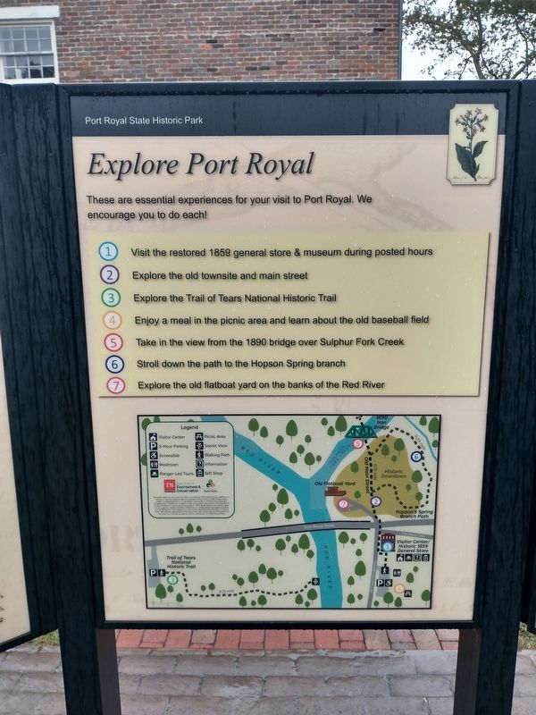
3. Explore Port Royal
Photographed by Tom Bosse, October 2, 2026
4. The Trail of Tears at Port Royal
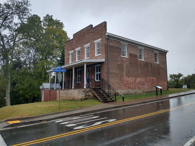
Photographed by Tom Bosse, October 2, 2026
5. The 1859 General Store at Port Royal
Credits. This page was last revised on November 4, 2026. It was originally submitted on October 31, 2026, by Tom Bosse of Jefferson City, Tennessee. This page has been viewed 6 times since then. Photos: 1, 2, 3, 4, 5. submitted on October 31, 2026, by Tom Bosse of Jefferson City, Tennessee. • James Hulse was the editor who published this page.
