St Kilda in Port Phillip, Victoria, Australia — Oceania
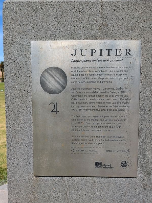
Jupiter
Largest planet and the first gas-giant
| — | Solar System Trail | — |
Photographed by Dean Barton-Ancliffe, September 29, 2026
1. Jupiter Marker
Jupiter's four largest moons - Ganymede, Callisto, Io and Europa - were all discovered by Galileo in 1610. Ganymede, the largest moon in the Solar System, and Callisto are both heavily cratered and consist of rock and ice. Io has many active volcanos while Europa's crust of ice may cover an ocean of water. About 70 other moons and a faint ring system have since been discovered.
The first close up images of Jupiter and its moons were taken by the Pioneer and Voyager spacecraft in the 1970s. Even through a modest backyard telescope, Jupiter is a magnificent object, with its beautiful cloud bands and its moons.
Jupiter's famous Great Red Spot is an enormous cyclonic storm two to three Earth diameters across. It has raged for over 300 years. < Saturn 622 Metres - Mars 550 Metres >
Erected by Planet Wheeler and City of Port Phillip. (Marker Number 6.)
Topics and series.
this page online
Location. 37° 51.987′ S, 144° 58.377′ E. Marker is in St Kilda, Victoria, in Port Phillip. It is on Jacka Boulevard (Victoria Route 33) 0.2 kilometers south of Pier Road, on the left when traveling east. Touch for map. Marker is at or near this postal address: 18 Jacka Boulevard, St Kilda VIC 3182, Australia. Touch for directions.

Regionally, it is in Oceania, in Australasia, in the Pacific Ocean, in South Pacific, on the Pacific Rim, in the Western World, and in the Anglosphere. Historically, it finds itself in what was once a British colony.
Other nearby markers. At least 8 other markers are within walking distance of this marker: Catani Archway (about 120 meters away, measured in a direct line); A most resolute lady (approx. 0.3 kilometers away); Crew of the H.M.S. Endeavour (approx. 0.3 kilometers away); Great Scenic Railway (approx. 0.3 kilometers away); Sir William Rooke Creswell (approx. 0.4 kilometers away);
Photographed by Dean Barton-Ancliffe, September 29, 2026
2. Jupiter Marker Right Side
Also see . . . Solar System Trail. Walks in Port Phillip
Navigate the solar system from the sun to the outer planets by following the bike and walking trail on the City of Port Phillip’s foreshore.(Submitted on October 31, 2026, by Dean Barton-Ancliffe of Rowville, Victoria.)
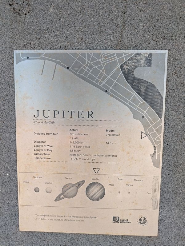
In 2008 artists and scientists constructed a model of our solar system to a scale of one to one billion between St Kilda and Port Melbourne. Instead of navigating 4.5 billion kilometres from the sun to Neptune, and 5.9 billion kilometres from the sun to Pluto, you only travel 4.5 kilometres and 5.9 kilometres.
The foreshore has always been a superb location to view the sun setting on the western horizon. Port Phillip Bay’s crescent shape is perfect for a model where the ‘sun’ can be viewed from every one of the nine model locations.
Photographed by Dean Barton-Ancliffe, September 29, 2026
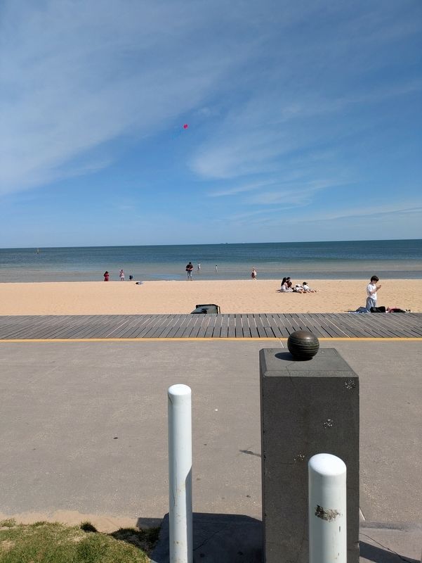
3. Jupiter Marker along the Bay Trail
Credits. This page was last revised on October 31, 2026. It was originally submitted on October 31, 2026, by Dean Barton-Ancliffe of Rowville, Victoria. This page has been viewed 15 times since then. Photos: 1, 2, 3. submitted on October 31, 2026, by Dean Barton-Ancliffe of Rowville, Victoria. • Andrew Ruppenstein was the editor who published this page.
