Annapolis in Anne Arundel County, Maryland — The American Northeast (Mid-Atlantic)
Streamside Community
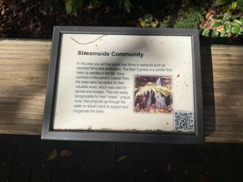
In this area you will find plants that thrive in wetlands such as assorted ferns and wildflowers. The Bald Cypress is a conifer that loses its needles in the fall. Once common in Maryland's Coastal Plain, the trees were harvested for their valuable wood, which was used for barrels and bridges. They are easily recognizable for their "knees", unique roots, that protrude up through the water or stream bank to support and oxygenate the trees.
Topics. This historical marker is listed in these topic lists: Bridges & Viaducts • Horticulture & Forestry • Industry & Commerce • Natural Resources.
Location. 38° 59.153′ N, 76° 30.136′ W. Marker is in Annapolis, Maryland, in Anne Arundel County. It can be reached from Taylor Avenue (Maryland Route 435) south of Rowe Boulevard ( Route 70), on the right when traveling north. Touch for map. Marker is at or near this postal address: 580 Taylor Ave, Annapolis MD 21401, United States of America. Touch for directions.

Regionally, this marker is in Central Maryland. It is also in the American Mid-Atlantic, in the Chesapeake
this page online
Other nearby markers. At least 8 other markers are within walking distance of this marker: Tulip Poplar (within shouting distance of this marker); Charlotte J. Huse (within shouting distance of this marker); "Ducks Breaking Away" (within shouting distance of this marker); Mahoning Sandstone (within shouting distance of this marker); Taste (about 300 feet away, measured in a direct line); The Helen Avalynne Tawes Garden (about 300 feet away); Maryland Department of Natural Resources Tawes Parking Lot Rain Gardens (about 600 feet away); Navy-Marine Corps Memorial Stadium (approx. 0.2 miles away). Touch for a list and map of all markers in Annapolis.
Credits. This page was last revised on November 1, 2026. It was originally submitted on November 1, 2026, by Devry Becker Jones of Washington, District of Columbia. This page has been viewed 5 times since then. Photos: 1, 2. submitted on November 1, 2026, by Devry Becker Jones of Washington, District of Columbia.
