Big Bog State Recreation Area near Waskish in Beltrami County, Minnesota — The American Midwest (Upper Plains)
Timber!
Photographed by McGhiever, August 29, 2021
1. Timber! Marker
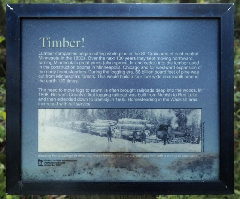
Lumber companies began cutting white pine in the St. Croix area of east-central Minnesota in the 1830s. Over the next 100 years they kept moving northward, turning Minnesota's great pines (also spruce, fir and cedar) into the lumber used in the construction booms in Minneapolis, Chicago and for westward expansion of the early homesteaders. During the logging era, 68 billion board feet of pine was cut from Minnesota's forests. This would build a four foot wide boardwalk around the earth 129 times!
The need to move logs to sawmills often brought railroads deep into the woods. In 1898, Beltrami County's first logging railroad was built from Nebish to Red Lake and then extended down to Bemidji in 1905. Homesteading in the Waskish area increased with rail service.
Meeting the challenge to move the wood from the forest to the mill was met with a variety of inventions.
Erected 2003 by the Minnesota Division of Parks and Recreation Interpretive Services.
Topics. This historical marker is listed in these topic lists: Industry & Commerce • Railroads & Streetcars. A significant historical year for this entry is 1830.
Location. 48° 10.116′ N,
this page online

Regionally, this marker is in the Northland. It is also in the American Midwest and in the Corn Belt. Globally, it is in North America, the Great North Woods, the Western Hemisphere, the Western World, and the Anglosphere. Historically, it finds itself in what was once Rupert’s Land, the territory of the Mississippian Culture, the Louisiana Purchase, and the Northwest Territory.
Other nearby markers. At least 8 other markers are within walking distance of this marker: Miskwagami-wizaga-iganing (about 500 feet away, measured in a direct line); The Red Lake Walleye Story (about 500 feet away); Where There is Smoke / Forests of the Agassiz Lowlands (approx. 0.2 miles away); Red Lake is Minnesota's Largest Lake! / Flat Terrain Lets Water Pool (approx. 0.2 miles away); Pure Peatland / A Boring Story (approx. 0.2 miles away); The Marina (approx. ¼ mile away); Journey along the waters… (approx. 0.4 miles away); Historic Waskish Hatchery 1941–1979 (approx. 0.4 miles away). Touch for a list and map of all markers in Waskish.
Credits. This page was last revised on November 1, 2026. It was originally submitted on November 1, 2026, by McGhiever of Minneapolis, Minnesota. This page has been viewed 11 times since then. Photo 1. submitted on November 1, 2026, by McGhiever of Minneapolis, Minnesota.
Editor’s want-list for this marker. Photo of marker location • Can you help?
