Broadway - Assiniboine in Winnipeg, Manitoba — Canada’s Prairie Region (North America)
Fort Garry
Photographed by Cosmos Mariner, June 15, 2022
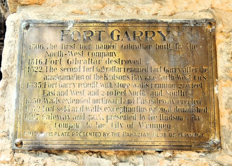
1. Fort Garry Marker
1806. The first fort named Gibraltar built by the North-West Company.
1816. Fort Gibraltar destroyed.
1822. The second Fort Gibraltar renamed Fort Garry after the amalgamation of the Hudson’s Bay and North-West Co’s.
1835. Fort Garry rebuilt with stone walls running 280 feet East and West and 240 feet North and South.
1850. Walls extended northward and this gateway erected.
1882. Fort sold and walls, excepting this gateway, demolished.
1897. Gateway and park presented by the Hudson’s Bay Company to the City of Winnipeg.
Erected 1909 by Canadian Club of Winnipeg.
Topics. This historical marker is listed in this topic list: Forts and Castles. A significant historical year for this entry is 1822.
Location. 49° 53.275′ N, 97° 8.121′ W. Marker is in Winnipeg, Manitoba. It is in Broadway - Assiniboine. It can be reached from Main Street (Trans-Canada Highway) (Provincial Highway 1) just south of Broadway, on the right when traveling south. The marker is on the stone Governor's Gate at the north end of Upper Fort Garry Heritage Provincial Park. Touch for map. Marker is at or near this postal address: 130 Main Street, Winnipeg
this page online

Regionally, this marker is in Historic Winnipeg. It is also in the Prairies. Globally, it is in North America, the Western Hemisphere, the Western World, and the Anglosphere. Historically, it finds itself in what was once a British colony, the Viceroyalty of New France, and Rupert’s Land.
Other nearby markers. At least 8 other markers are within walking distance of this marker: Upper Fort Garry Gateway / Porte d'entrée d'Upper Fort Garry (here, next to this marker); Ambroise-Didyme Lépine (a few steps from this marker); Fort Garry — Fort Edmonton Trail (within shouting distance of this marker); a different marker also named The Fort Garry (about 90 meters away, measured in a direct line); The Fort Garry Hotel / L'hôtel Fort Garry (about 90 meters away); Bonnycastle Park (about 240 meters away); Pierre Gaultier de La Vérendrye (about 240 meters away); Dr. Amelia Yeomans / Le Docteur Amelia Yeomans (approx. 0.4 kilometers away). Touch for a list and map of all markers in Winnipeg.
Also see . . . Fort Garry (Wikipedia).
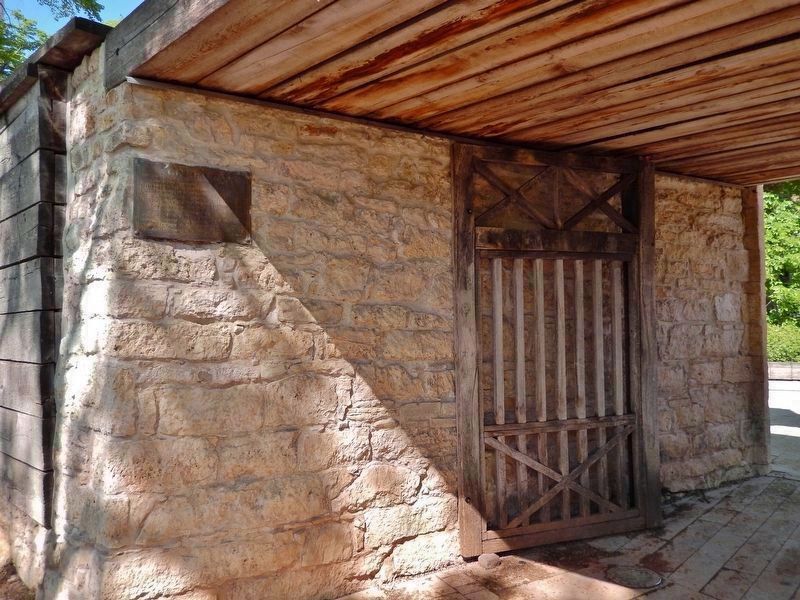
Excerpt: Fort Garry, also known as Upper(Submitted on November 1, 2026, by Cosmos Mariner of Cape Canaveral, Florida.)Fort Garry, was a Hudson's Bay Company trading post located at the confluence of the Red and Assiniboine rivers in or near the area now known as The Forks in what is now central Winnipeg, Manitoba.Photographed by Cosmos Mariner, June 15, 20222. Fort Garry MarkerThe marker is mounted above eye level near the south edge of the stone Governor's Gate at the north end of Upper Fort Garry Heritage Provincial Park.
Fort Garry was established in 1822, although its first iteration was destroyed in 1826 by severe flooding. The trading post was rebuilt in 1836 and served as the administrative centre for the Red River Colony. From 1869 to 1870, the fort was briefly occupied by Louis Riel and his Métis followers during the Red River Rebellion. The fort was demolished in the 1880s to make way for Winnipeg's Main Street, although the fort's gate remains.
The site of the former fort was designated as a part of a larger National Historic Site in 1924. Development of a provincial heritage site on the historic site of Fort Garry began in the early 21st century.
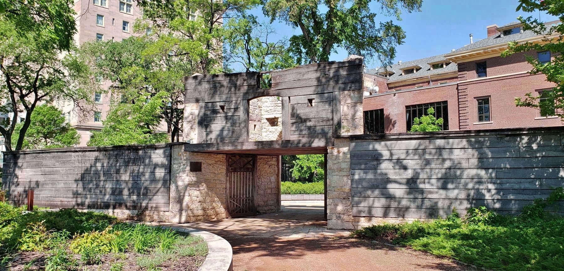
Most of Upper Fort Garry was demolished from 1881 to 1884 to straighten Main Street as Winnipeg expanded. The stone Governor's Gate is the only surviving above-ground structure from the fort.
Photographed by Cosmos Mariner, June 15, 2022
3. South side of stone Governor's Gate at the north end of Upper Fort Garry Heritage Provincial Park
The marker is on the left side of the south entrance.
Credits. This page was last revised on November 1, 2026. It was originally submitted on November 1, 2026, by Cosmos Mariner of Cape Canaveral, Florida. This page has been viewed 9 times since then. Photos: 1, 2, 3. submitted on November 1, 2026, by Cosmos Mariner of Cape Canaveral, Florida.
