Smiths Grove in Warren County, Kentucky — The American South (East South Central)
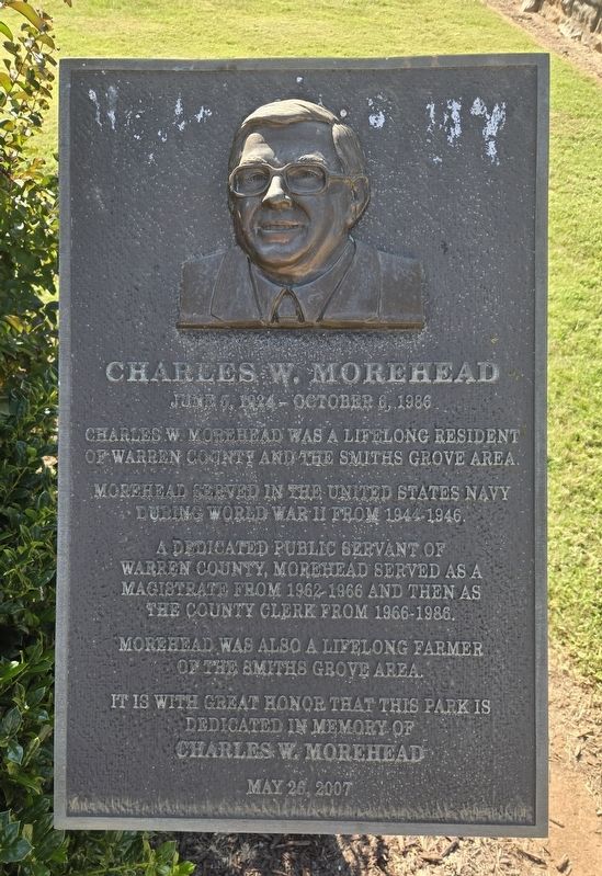
Charles W. Morehead
June 5, 1924 - October 6, 1986
Photographed by Bradley Owen, October 30, 2026
1. Charles W. Morehead Marker
Charles W. Morehead was a lifelong resident of Warren County and the Smiths Grove area.
Morehead served in the United States Navy during World War II from 1944-1946.
A dedicated public servant of Warren County, Morehead served as a magistrate from 1962-1966 and then as the county clerk from 1966-1986.
Morehead was also a lifelong farmer of the Smiths Grove area.
It is with great honor that this park is dedicated in memory of
Erected 2007 by The City of Smiths Grove.
Topics. This historical marker is listed in these topic lists: Charity & Public Work • War, World II.
Location. 37° 3.06′ N, 86° 12.518′ W. Marker is in Smiths Grove, Kentucky, in Warren County. It is on South Main Street (Kentucky Route 101) south of Laurel Road, on the right when traveling north. Marker is located in Charles W. Morehead Memorial Park. Touch for map. Marker is at or near this postal address: 146 South Main Street, Smiths Grove KY 42171, United States of America. Touch for directions.

Regionally, this marker is in the Pennyroyal Region. It is also in the American Midwest, in the South, and specifically in the Upper South. Globally, it is in North America, the Western Hemisphere, the Western World, and the Anglosphere. Historically, it finds itself in what was once the territory of the Mississippian Culture and also the Antebellum South.
Other nearby markers. At least 8 other markers are within 9 miles of this marker, measured as the crow flies: Oakland-Freeport Historic District, Warren County, Kentucky (approx. 2.3 miles away); Old Stagecoach Stop (approx. 4.8 miles away); Chalybeate Springs / Chameleon Springs (approx. 5½ miles away); Mill Hole Farm-Prehistoric Site (approx. 6 miles away); Turnhole Bend Spring (approx.
this page online
Photographed by Bradley Owen, October 30, 2026
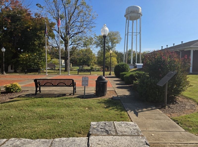
2. Charles W. Morehead Marker
Marker is at the far right.
Photographed by Bradley Owen, October 30, 2026
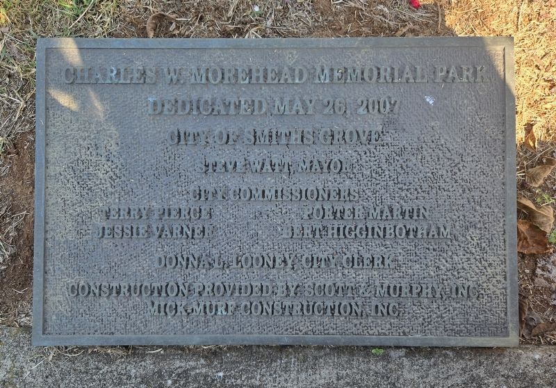
3. Dedication Plaque
Credits. This page was last revised on November 1, 2026. It was originally submitted on November 1, 2026, by Bradley Owen of Morgantown, West Virginia. This page has been viewed 6 times since then. Photos: 1, 2, 3. submitted on November 1, 2026, by Bradley Owen of Morgantown, West Virginia.
