Thetford in Norfolk, England, United Kingdom — Northwestern Europe (the British Isles)
St. Peter's Church
Photographed by Ray Gurganus, April 24, 2026
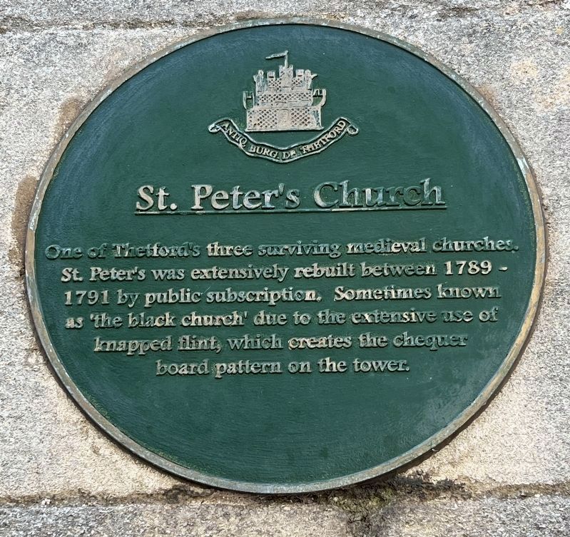
1. St. Peter's Church Marker
One of Thetford's three surviving medieval churches. St. Peter's was extensively rebuilt between 1789 - 1791 by public subscription. Sometimes known as the black church' due to the extensive use of knapped flint, which creates the chequer board pattern on the tower.
Topics. This historical marker is listed in this topic list: Religion & Religious Structures.
Location. 52° 24.881′ N, 0° 44.812′ E. Marker is in Thetford, England, in Norfolk. It is on Whitehart Street, on the right when traveling north. Touch for map. Marker is at or near this postal address: 7 Whitehart Street, Thetford, England IP24 1BN, United Kingdom. Touch for directions.

Regionally, this marker is in East Anglia. Globally, it is on the Atlantic Ocean, in the North Atlantic Region, in Europe, in Atlantic Europe, on one of the British Isles, in the Western World, and in the Anglosphere. Historically, it finds itself in what was once the Roman Empire.
Other nearby markers. At least 8 other markers are within walking distance of this marker: Famous Scripts - Fact and Fiction (within shouting
this page online
Photographed by Ray Gurganus, April 24, 2026
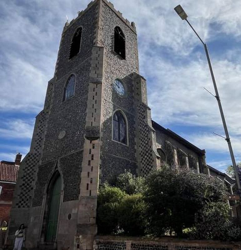
2. St. Peter's Church
The marker is visible here just to the right of the door.
Credits. This page was last revised on November 2, 2026. It was originally submitted on October 21, 2026, by Ray Gurganus of Washington, District of Columbia. This page has been viewed 11 times since then. Last updated on November 1, 2026, by Ray Gurganus of Washington, District of Columbia. Photos: 1, 2. submitted on October 21, 2026, by Ray Gurganus of Washington, District of Columbia. • Devry Becker Jones was the editor who published this page.
