Edisto Island in Colleton County, South Carolina — The American South (South Atlantic)
Edisto Island Baptist Church
Photographed by Tom Bosse, October 26, 2026
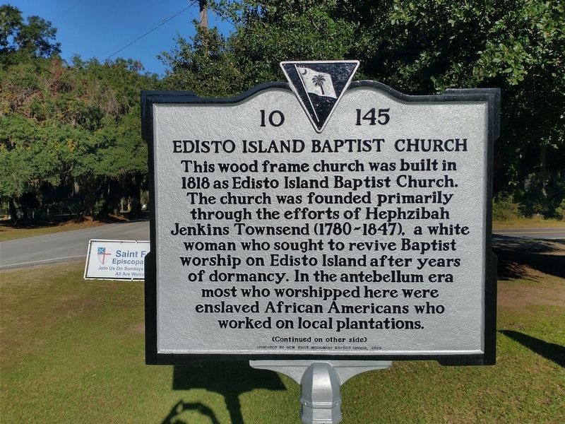
1. Edisto Island Baptist Church Marker (Front)
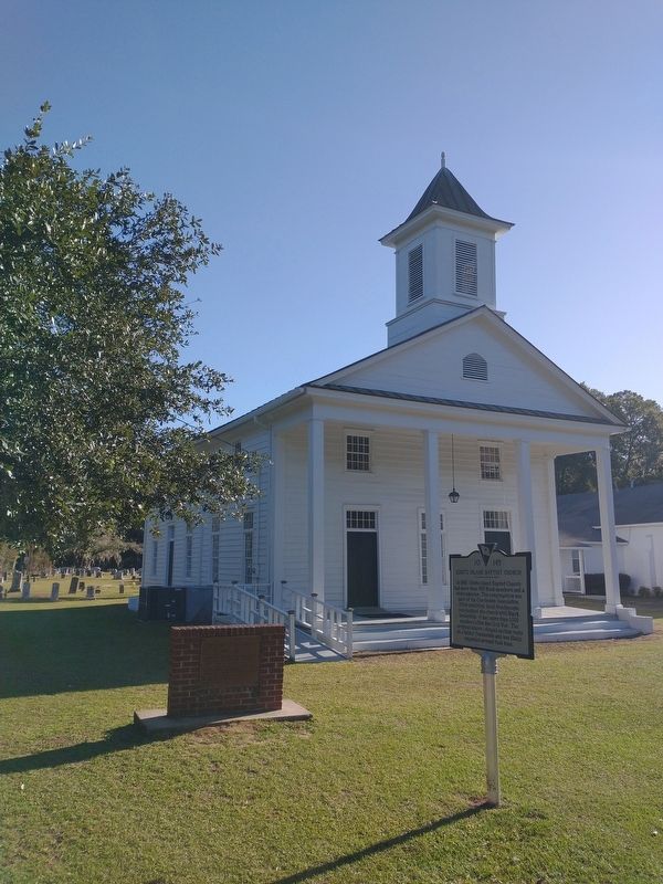
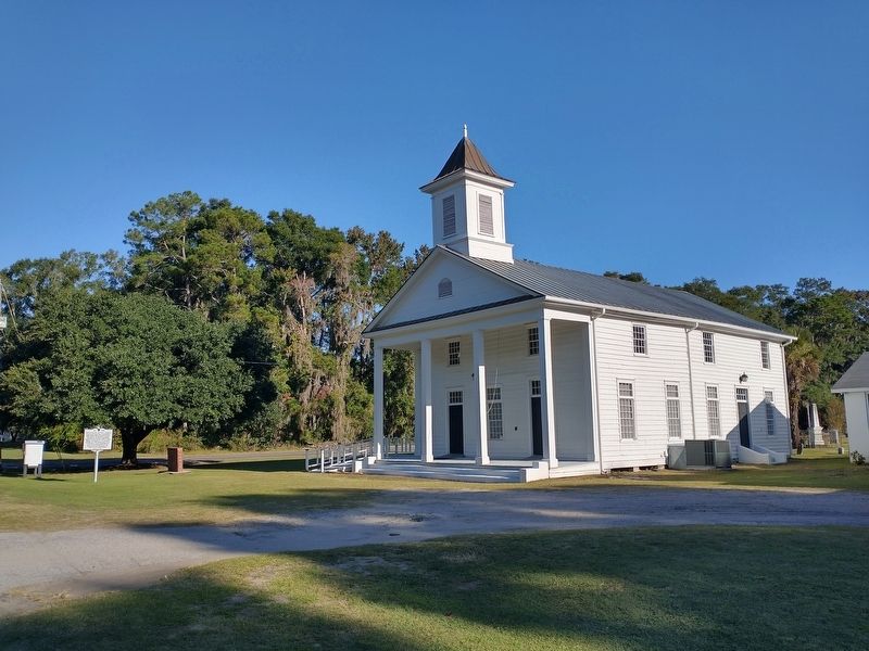
This wood frame church was built in 1818 as Edisto Island Baptist Church. The church was founded primarily through the efforts of Hephzibah Jenkins Townsend (1780-1847), a white woman who sought to revive Baptist worship on Edisto Island after years of dormancy. In the antebellum era most who worshipped here were enslaved African Americans who worked on local plantations.
Erected 2025 by New First Missionary Baptist Church. (Marker Number 10 145.)
Topics. This historical marker is listed in these topic lists: African Americans • Religion & Religious Structures. A significant historical year for this entry is 1818.
Location. 32° 34.365′ N, 80° 17.063′ W. Marker
this page online

Regionally, this marker is in the Lowcountry, in the Ashepoo and Combahee and Edisto Basin. It is also in the American South, specifically in the Deep South, and on the Eastern Seaboard. Globally, it is in the North Atlantic Region, North America, the Western Hemisphere, the Western World, and the Anglosphere. Historically, it finds itself in what was once New Spain, the territory of the Mississippian Culture, one of the original Thirteen Colonies, one of the Confederate States of America, and the Antebellum South.
Other nearby markers. At least 8 other markers are within 6 miles of this marker, measured as the crow flies: Hephzibah J. Townsend (here, next to this marker); Lafayette's Tour (approx. 2.1 miles away); The CCC: Building Parks for America (approx. 4.7 miles away); "The Walls of Segregation are Crumbling"
Photographed by Tom Bosse, October 26, 2026
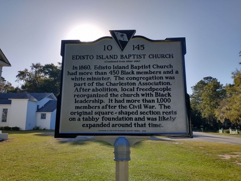
2. Edisto Island Baptist Church Marker (Back)
Related markers. Click here for a list of markers that are related to this marker.
Photographed by Tom Bosse, October 26, 2026
3. Edisto Island Baptist Church Marker
Photographed by Tom Bosse, October 26, 2026
4. Edisto Island Baptist Church Marker
Credits. This page was last revised on November 7, 2026. It was originally submitted on November 1, 2026, by Tom Bosse of Jefferson City, Tennessee. This page has been viewed 6 times since then. Photos: 1, 2, 3, 4. submitted on November 1, 2026, by Tom Bosse of Jefferson City, Tennessee. • Bernard Fisher was the editor who published this page.
