
Mitte in Hannover in Region Hannover, Lower Saxony, Germany — Central Europe
Stadtmauer
⎯⎯⎯
City Wall
Photographed by James Hulse, October 9, 2026
1. Stadtmauer / City Wall Marker

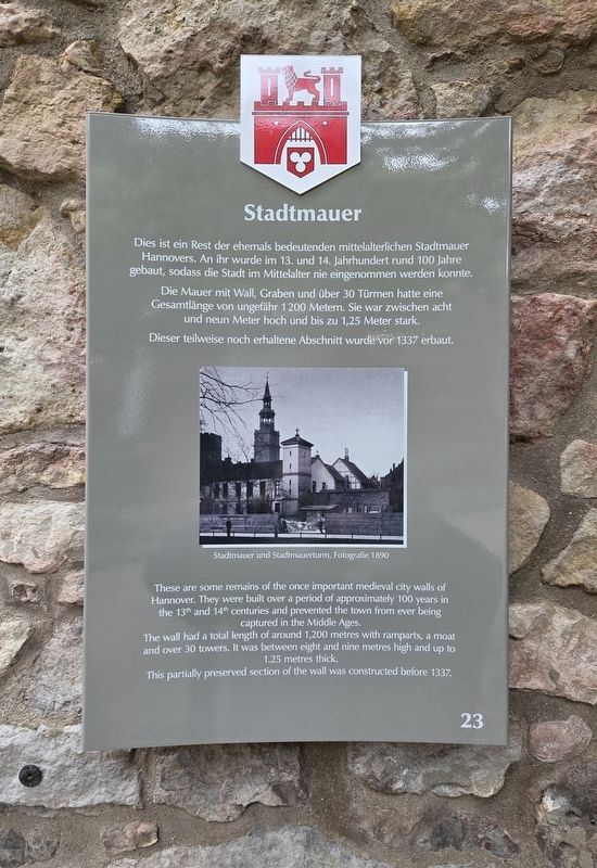
Dies ist ein Rest der ehemals bedeutenden mittelalterlichen Stadtmauer Hannovers. An ihr wurde im 13. und 14. Jahrhundert rund 100 Jahre gebaut, sodass die Stadt im Mittelalter nie eingenommen werden konnte. Die Mauer mit Wall, Graben und über 30 Türmen hatte eine Gesamtlänge von ungefähr 1200 Metern. Sie war zwischen acht und neun Meter hoch und bis zu 1,25 Meter stark. Dieser teilweise noch erhaltene Abschnitt wurde vor 1337 erbaut.
Stadtmauer und Stadtmauerturm, Fotografie 1890
These are some remains of the once important medieval city walls of Hannover. They were built over a period of approximately 100 years in the 13th and 14th centuries and prevented the town from ever being captured in the Middle Ages. The wall had a total length of around 1,200 metres with ramparts, a moat and over 30 towers. It was between eight and nine metres high and up to 1.25 metres thick. This partially preserved section of the wall was constructed before 1337.
City wall and city wall tower, photograph from 1890.
Erected by Landeshauptstadt Hannover. (Marker Number 23.)
Topics. This historical marker is listed in this topic list: Forts and Castles. A significant historical year for this entry is 1200.
Location. 52° 22.193′ N, 9° 44.437′ E. Marker is in Hannover, Niedersachsen (Lower Saxony), in Region Hannover. It is in Mitte. It is on Osterstraße 0.1 kilometers north of Breite Str.. Touch for map. Marker is at or near this postal address: Osterstraße 46, Hannover NI 30159, Germany. Touch for directions.

Regionally, it is in Europe, the European Union, Atlantic Europe,
this page online
Other nearby markers. At least 8 other markers are within walking distance of this marker: Krieg und Katastrophe / War and Catastrophe (about 90 meters away, measured in a direct line); Aus der Geschichte der St. Aegidienkirche / From the History of St. Aegidien Church (about 120 meters away); „Wir werden im Vertrauen auf dich weiter unseren Weg gehen …“ (about 120 meters away); St. Aegidienkirche / St. Aegidien Church (about 120 meters away); Gottfried Wilhelm Leibniz (about 180 meters away); Hannoversche Bank / Karl Börgemann (about 180 meters away); Calenberg Grubenhagensche Landschaft / Calenberg-Grubenhagen Assembly of Estates (approx. 0.3 kilometers away); Gottfried Benn (approx. 0.3 kilometers away). Touch for a list and map of all markers in Hannover.
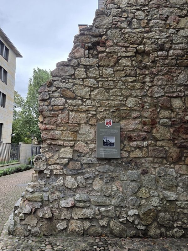
Photographed by James Hulse
2. Stadtmauer / City Wall Marker
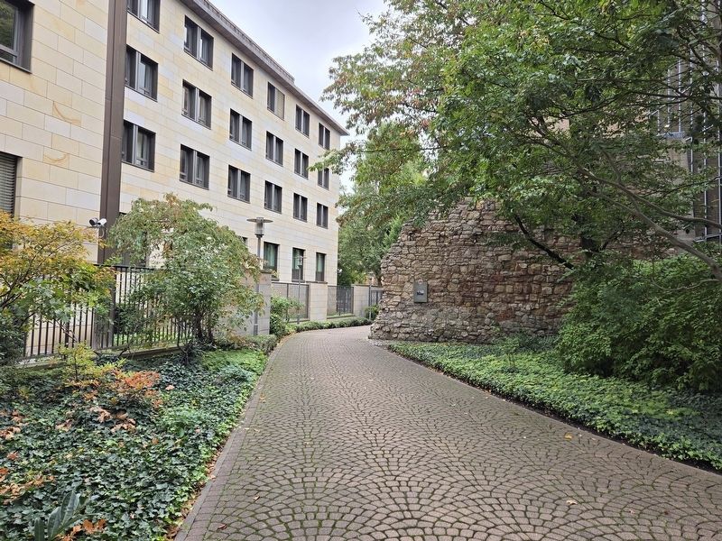
Photographed by James Hulse, October 9, 2026
3. Stadtmauer / City Wall Marker
Credits. This page was last revised on November 2, 2026. It was originally submitted on November 1, 2026, by James Hulse of Medina, Texas. This page has been viewed 13 times since then. Photos: 1, 2, 3. submitted on November 2, 2026, by James Hulse of Medina, Texas.
