Havelock in Le Haut-Saint-Laurent, Québec — Central Canada (French-Canadian)
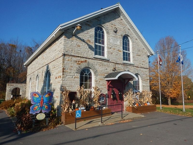
Havelock Township Hall
⎯⎯⎯
Mairie de Havelock
Photographed by Kevin Craft, October 29, 2026
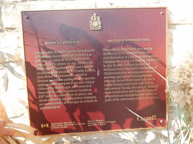
1. Havelock Township Hall / Mairie de Havelock Marker
{English text}
The residents of Havelock were among the first in the St. Lawrence Valley to avail themselves of rural municipal status following the passage of enabling legislation in 1855. In 1868, builders Sanders and Kirkland erected this hall to the designs of Charles Gordon to accommodate council meetings and various social gatherings. Although its two-storey open-hall plan is typical of many rural town halls built in 19th-century Canada, the carefully detailed stone construction and classically inspired proportions are exceptional and reflect the pride of the community it was built to serve.
{French text}
Dans la vallée du Saint-Laurent, les habitants de Havelock furent parmi les premiers à se prévaloir du statut de municipalité rurale lorsque la loi le permit en 1855. En 1868, les constructeurs Sanders et Kirkland érigèrent cet édifice selon les plans de Charles Gordon, pour abriter les réunions du conseil et diverses assemblées publiques. Blen que son aménagement, composé d'une salle unique s'élevant sur deux étages, soit commun à beaucoup de mairies bâties au Canada au XIXe siècle, sa construction en pierre, aux
this page online
Erected by Historic Sites and Monuments Board of Canada and Parks Canada.
Topics. This historical marker is listed in these topic lists: Architecture • Settlements & Settlers. A significant historical year for this entry is 1868.
Location. 45° 2.683′ N, 73° 45.495′ W. Marker is in Havelock, Québec, in Le Haut-Saint-Laurent. It is on Chemin de Havelock (Québec Route 203) 0.1 kilometers south of Route 202, on the right when traveling south. Touch for map. Marker is at or near this postal address: 481 Chemin de Havelock, Havelock QC J0S 2C0, Canada. Touch for directions.

Regionally, this marker is in Central Canada. Globally, it is in North America, the Western Hemisphere, and the Western World. Historically, it finds itself in what was once a British colony, the Viceroyalty of New France, the Haudenosaunee (Iroquois) Confederacy, and Rupert’s Land.
Other nearby markers. At least 7 other markers are within 21 kilometers of this marker, measured as the crow flies: Havelock WW1 War Memorial (a few steps
Photographed by Kevin Craft, October 29, 2026
2. Wideview of Havelock Township Hall / Mairie de Havelock Marker
Credits. This page was last revised on November 1, 2026. It was originally submitted on November 1, 2026, by Kevin Craft of Bedford, Quebec. This page has been viewed 5 times since then. Photos: 1, 2. submitted on November 1, 2026, by Kevin Craft of Bedford, Quebec.
