
Sewanee in Franklin County, Tennessee — The American South (East South Central)
War Memorial
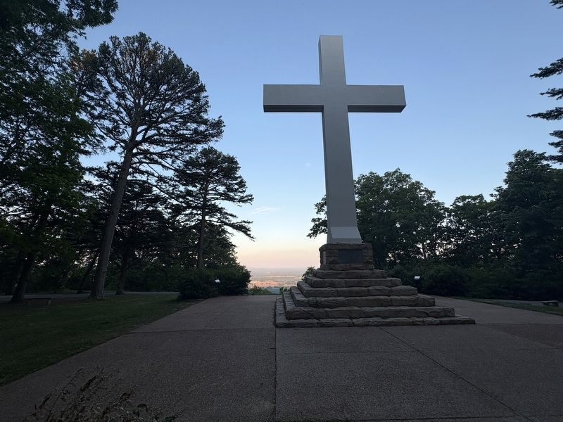
Photographed by Darren Jefferson Clay, May 17, 2026
1. War Memorial
To the sons of Sewanee who answered their country's call to service in the World War (1917 - 1918)
To those from the university, the military academy, Sewanee, and all Franklin County in World War II (1941 - 1945)
To the students and citizens of Sewanee and to the citizens of Franklin County who served this country in the Korean War (1950 - 1953)
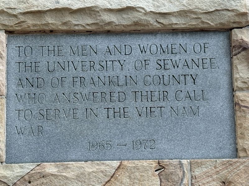
To the men and women of The University of Sewanee and of Franklin County who answered their call to serve in the Viet Nam War (1965 - 1972)
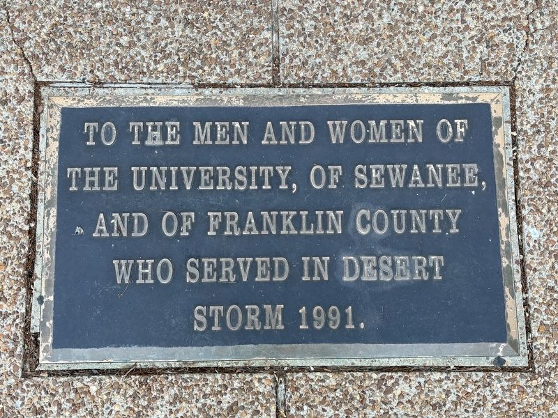
To the men and women of the university, of Sewanee, and of Franklin County who served in Desert Storm 1991
Topics. This memorial is listed in this topic list: Military.
Location. 35° 11.518′ N, 85° 56.238′ W. Memorial is in Sewanee, Tennessee, in Franklin County. It is on Tennessee Avenue half a mile west of Carruthers Rd, in the median. Touch for map. Memorial is at or near this postal address: 1129 Tennessee Ave, Sewanee TN 37375, United States of America. Touch for directions.

Regionally, this memorial is in Middle Tennessee and in the Highland Rim. It is also in the American
this page online
Other nearby markers. At least 8 other markers are within 2 miles of this marker, measured as the crow flies: Site of The Sewanee Military Academy (approx. 0.8 miles away); The Last Cadet (approx. 0.8 miles away); Army of Tennessee (approx. 0.8 miles away); Desegregation of Franklin County Public Schools (approx. 1.1 miles away); Saints Rest (approx. 1.1 miles away); Head of the Crow State Park (approx. 1.2 miles away); Sewanee Village Trailhead (approx. 1.2 miles away); Mountain Goat Trail (approx. 1.2 miles away). Touch for a list and map of all markers in Sewanee.
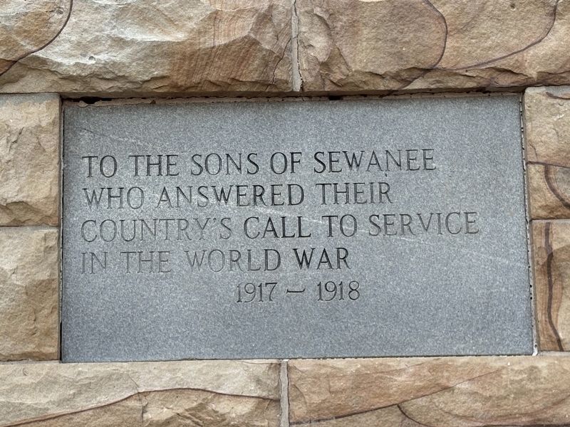
Photographed by Darren Jefferson Clay, May 17, 2026
2. War Memorial
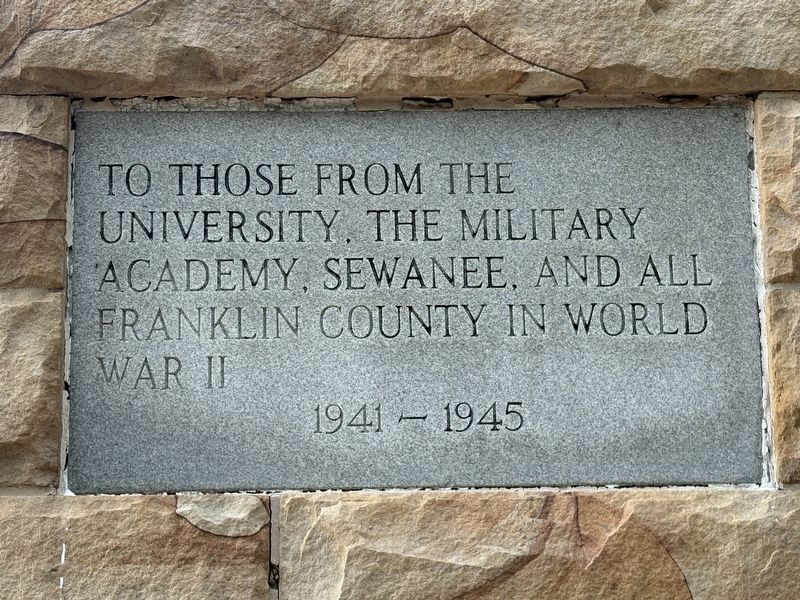
Photographed by Darren Jefferson Clay, May 17, 2026
3. War Memorial
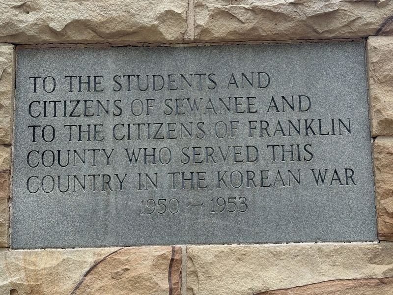
Photographed by Darren Jefferson Clay, May 17, 2026
4. War Memorial
Photographed by Darren Jefferson Clay, May 17, 2026
5. War Memorial
Photographed by Darren Jefferson Clay, May 17, 2026
6. War Memorial
Credits. This page was last revised on November 18, 2026. It was originally submitted on November 1, 2026, by Darren Jefferson Clay of Duluth, Georgia. This page has been viewed 7 times since then. Photos: 1, 2, 3, 4, 5, 6. submitted on November 12, 2026, by Darren Jefferson Clay of Duluth, Georgia. • James Hulse was the editor who published this page.
