Wheeling in Ohio County, West Virginia — The American South (Appalachia)
First Commercial Coal Mine
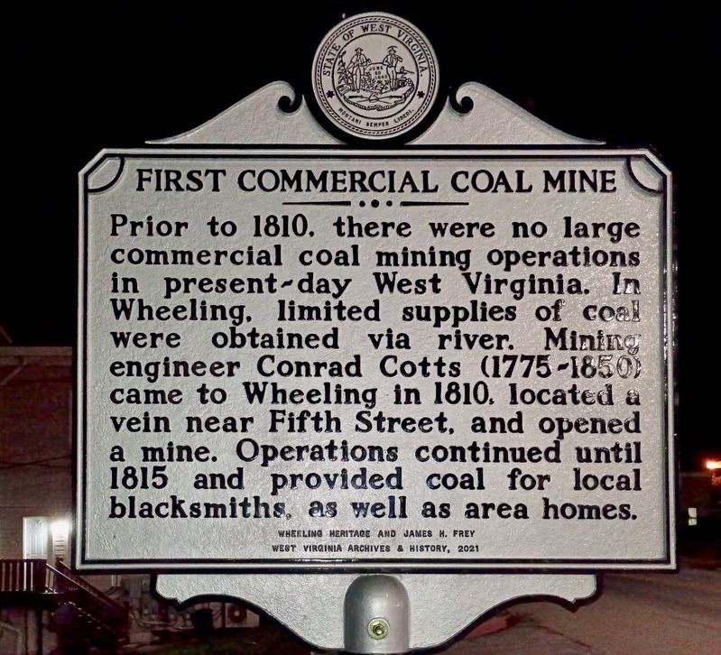
Photographed by Craig Doda, October 3, 2026
1. First Commercial Coal Mine Marker
Erected 2021 by Wheeling Heritage; James H. Frey; West Virginia Archives & History.
Topics and series. This historical marker is listed in these topic lists: Industry & Commerce • Natural Resources. In addition, it is included in the West Virginia Archives and History series list. A significant historical year for this entry is 1810.
Location. 40° 4.687′ N, 80° 43.533′ W. Marker is in Wheeling, West Virginia, in Ohio County. It is at the intersection of Main Street and 5th Street, on the right when traveling south on Main Street. Touch for map. Marker is at or near this postal address: 500 Main St, Wheeling WV 26003, United States of America. Touch for directions.

Regionally, this marker is in the Northern Panhandle and in the High Valley.
this page online
Other nearby markers. At least 8 other markers are within walking distance of this marker: 612 Main Street (about 500 feet away, measured in a direct line); 623 Main Street (about 600 feet away); The E.G. Kramer House (about 600 feet away); The Mingo (approx. 0.2 miles away); 647 Main Street (approx. 0.2 miles away); The Phillips House (approx. 0.2 miles away); 659 Main Street (approx. 0.2 miles away); The Goering House (approx. 0.2 miles away). Touch for a list and map of all markers in Wheeling.
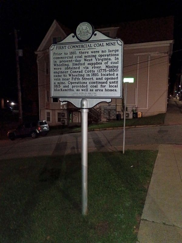
Photographed by Craig Doda, October 3, 2026
2. First Commercial Coal Mine Marker
Credits. This page was last revised on November 6, 2026. It was originally submitted on November 2, 2026, by Craig Doda of Napoleon, Ohio. This page has been viewed 15 times since then. Photos: 1, 2. submitted on November 2, 2026, by Craig Doda of Napoleon, Ohio. • Devry Becker Jones was the editor who published this page.
Editor’s want-list for this marker. Clear, daylight photos of the marker and its context. • Can you help?
