Walterboro in Colleton County, South Carolina — The American South (South Atlantic)
St. Jude's Church
Photographed by Tom Bosse, October 28, 2026
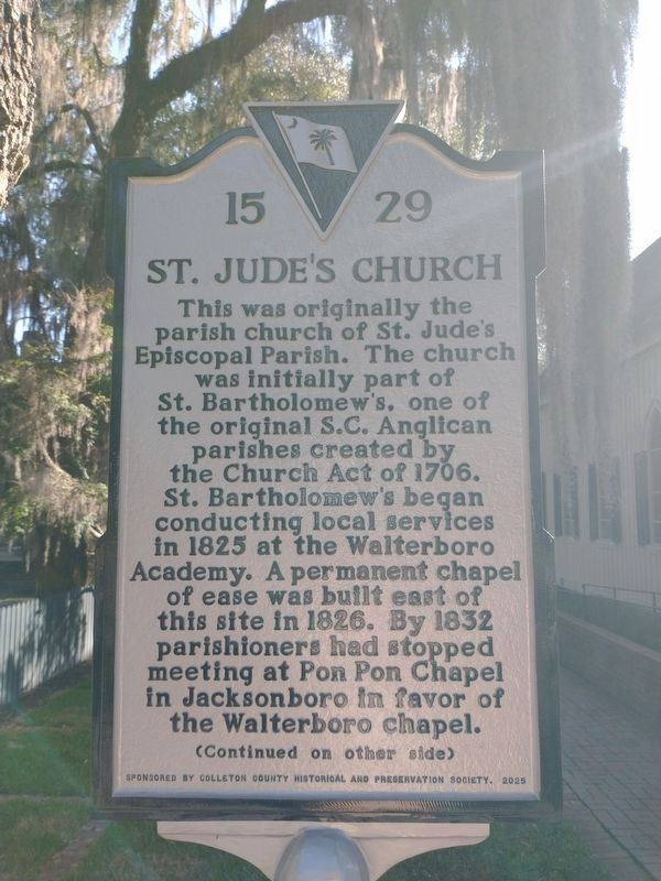
1. St. Jude's Church Marker (Front)
This was originally the parish church for St. Jude’s Episcopal Parish. The church was initially part of St. Bartholomew’s, one of the original S.C. Anglican parishes created by the Church Act of 1706. St. Bartholomew’s began conducting local services in 1825 at the Walterboro Academy. A permanent chapel of ease was built east of this site in 1826. By 1832 parishioners had stopped meeting at Pon Pon Chapel in Jacksonboro in favor of the Walterboro chapel.
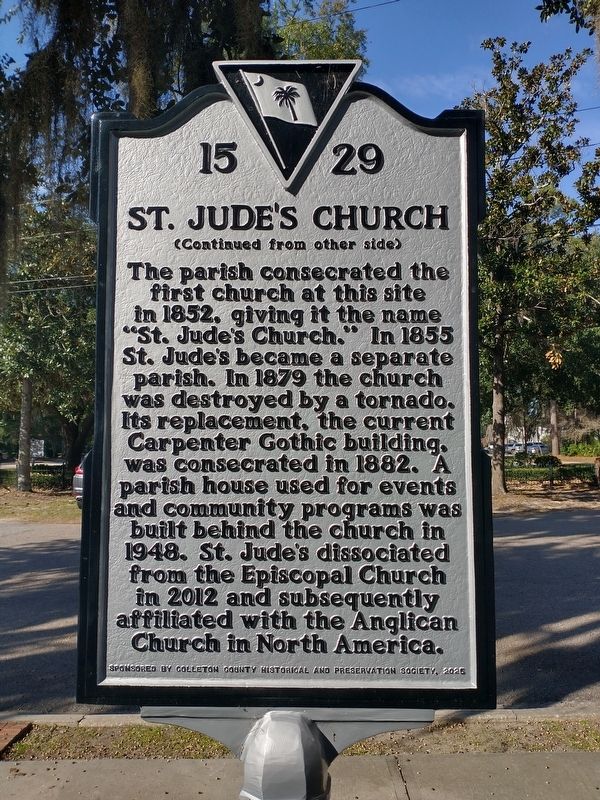
The parish consecrated the first church at this site in 1852, giving it the name “St. Jude’s Church.” In 1855 St. Jude’s became a separate parish. In 1879 the church was destroyed by a tornado. Its replacement, the current Carpenter Gothic building, was consecrated in 1882. A parish house used for events and community programs was built behind the church in 1948. St. Jude’s dissociated from the Episcopal Church in 2012 and subsequently affiliated with the Anglican Church in North America.
Erected 2025 by Colleton County Historical and Preservation Society. (Marker Number 15-29.)
Topics. This historical marker is listed in these topic lists: Architecture
this page online
Location. 32° 54.27′ N, 80° 39.527′ W. Marker is in Walterboro, South Carolina, in Colleton County. It is on Fishburne Street north of Wichman Street (Alternate U.S. 17), on the right when traveling north. Touch for map. Marker is at or near this postal address: 907 Wichman St, Walterboro SC 29488, United States of America. Touch for directions.

Regionally, this marker is in the Lowcountry, in the Ashepoo and Combahee and Edisto Basin. It is also in the American South, specifically in the Deep South, and on the Eastern Seaboard. Globally, it is in the North Atlantic Region, North America, the Western Hemisphere, the Western World, and the Anglosphere. Historically, it finds itself in what was once New Spain, the territory of the Mississippian Culture, one of the original Thirteen Colonies, one of the Confederate States of America, and the Antebellum South.
Other nearby markers. At least 8 other markers are within walking distance of this marker: Hickory Valley (a few steps from this marker); a different marker also named Hickory Valley
Photographed by Tom Bosse, October 28, 2026
2. St. Jude's Church Marker (Back)
Related markers. Click here for a list of markers that are related to this marker.
Also see . . .
1. About page on the St. Jude's Church site. (Submitted on November 3, 2026, by Devry Becker Jones of Washington, District of Columbia.)
2. National Register of Historic Places Nomination form for the Walterboro Historic District.
This form was prepared by the staff of the Historic Preservation Disvision (South Carolina Department of Archives and History) and Robert P. Stockton (Wilbur Smith and Associates) on June 4, 1980. The statement of historical significance begins on page 3:
The Walterboro Historic District isa significant collection of properties located near the center of the town of Walterboro, South Carolina. The majority of the buildings in the district, which is primarily residential in character, were constructed between 1800 and 1945 and represent a range of nineteenth and early twentieth century vernacular design. In addition, the visual appearance of the district reflects the historical development of the town of Walterboro, which was one of several South Carolina pineland villages settled during the early nineteenth century by planters in search of a healthful climate. The district also reflects the late nineteenth- and early twentieth-century economic growth of the town.Photographed by Tom Bosse, October 28, 20263. St. Jude's Church Marker
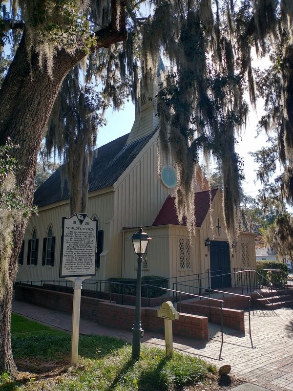
Specifically, St. Jude's Episcopal Church is described on page 3, item 4:
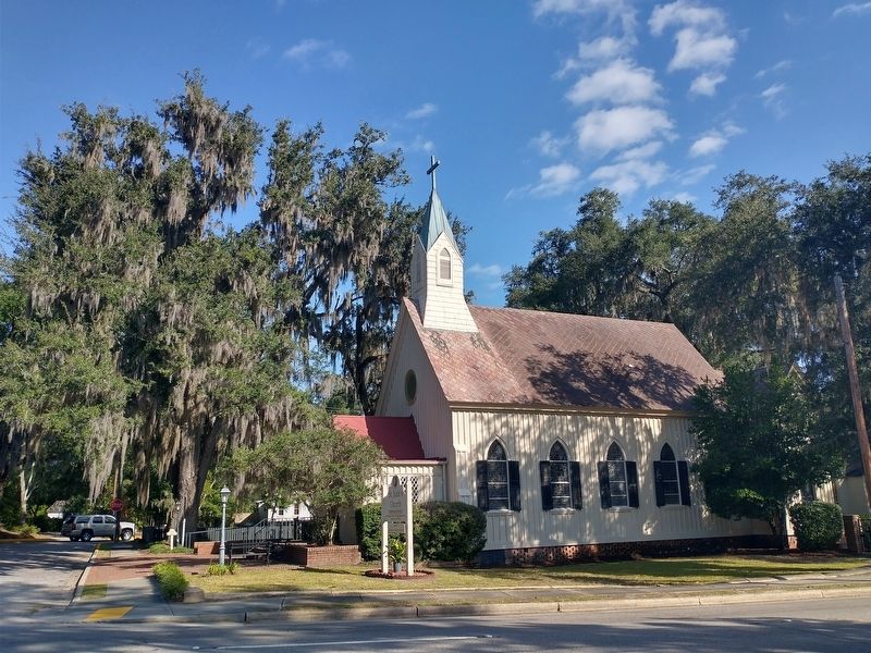
4. St. Jude's Episcopal Church, 400 Fishburne Street. Founded in 1855 and rebuilt after the great cyclone of 1879, this Carpenter Gothic style church has board-and-batten exterior walls, with buttresses simulated in wood on the two front corners. The main entrance is in a gabled porch with a lancet-arch doorway and diamond-paned casement windows. Another similar entrance is in a small(Submitted on November 3, 2026, by Devry Becker Jones of Washington, District of Columbia.)gabled extension on the right rear corner. The body has five lancet windows on each side with stained glazing and shutters. A round window is centered in the front gable. A box cornice is repeated in the gable. A small tower, battered on its lower portion, rises to a conical steeple.Photographed by Tom Bosse, October 28, 20264. St. Jude's Church
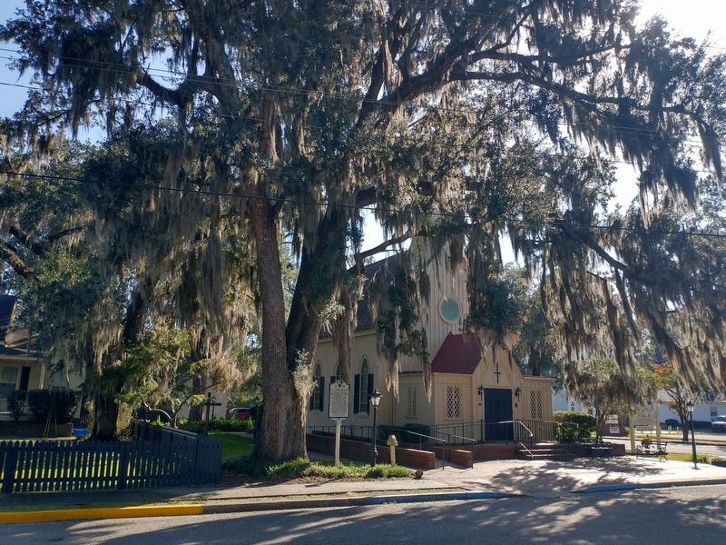
Photographed by Tom Bosse, October 28, 2026
5. St. Jude's Church Marker
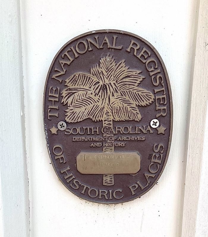
Photographed by Brandon D Cross, June 19, 2022
6. National Register of Historic Places Plaque for the Church
Walterboro
Historic District
The National Register
of Historic Places
South Carolina
Department of Archives
and History
Credits. This page was last revised on November 3, 2026. It was originally submitted on November 3, 2026, by Tom Bosse of Jefferson City, Tennessee. This page has been viewed 9 times since then. Photos: 1, 2, 3, 4, 5. submitted on November 3, 2026, by Tom Bosse of Jefferson City, Tennessee. 6. submitted on June 24, 2022, by Brandon D Cross of Flagler Beach, Florida. • Devry Becker Jones was the editor who published this page.
