Nord in Hannover in Region Hannover, Lower Saxony, Germany — Central Europe
Brüggemannhof
Photographed by James Hulse, October 9, 2026
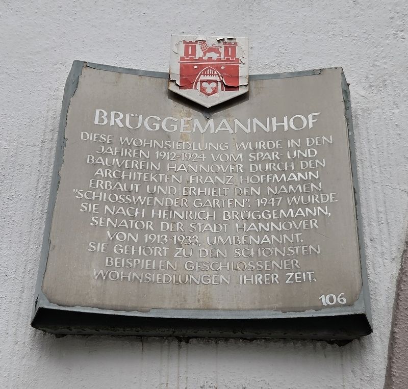
1. Brüggemannhof Marker

Diese Wohnsiedlung wurde in den Jahren 1912-1924 vom Spar- und Bauverein Hannover durch den Architekten Franz Hoffmann erbaut und erhielt den Namen „Schlosswender Garten“. 1947 wurde sie nach Heinrich Brüggemann, Senator der Stadt Hannover von 1913-1933, umbenannt. Sie gehört zu den schönsten Beispielen geschlossener Wohnsiedlungen ihrer Zeit.
Brüggemannhof
This residential development was built from 1912 to 1924 by the Spar- und Bauverein Hannover according to plans by the architect Franz Hoffmann and was given the name “Schlosswender Garten.” In 1947, it was renamed after Heinrich Brüggemann, a senator of the City of Hanover from 1913 to 1933. It is one of the finest examples of an enclosed residential development from its period.
Erected by Landeshauptstadt Hannover. (Marker Number 106.)
Topics. This historical marker is listed in this topic list: Notable Buildings. A significant historical year for this entry is 1947.
Location. 52° 22.812′ N, 9° 43.461′ E. Marker is in Hannover, Niedersachsen (Lower Saxony), in Region Hannover. It is in Nord. It is at the intersection of Brüggemannhof and Schloßwender Str. (Route L380) on Brüggemannhof. Touch for map. Marker is at or near this postal address: Brüggemannhof 1, Hannover NI 30167, Germany. Touch for directions.

Regionally, it is in Europe, the European Union, Atlantic Europe, Central Europe, the Schengen Area, Western Europe, and the Western World. Historically, it finds itself in what was once the Holy Roman Empire and also the former West Germany.
Other nearby markers. At least 8 other markers
this page online
Photographed by James Hulse, October 9, 2026
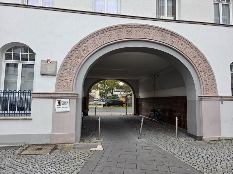
2. Brüggemannhof Marker
Photographed by James Hulse, October 9, 2026
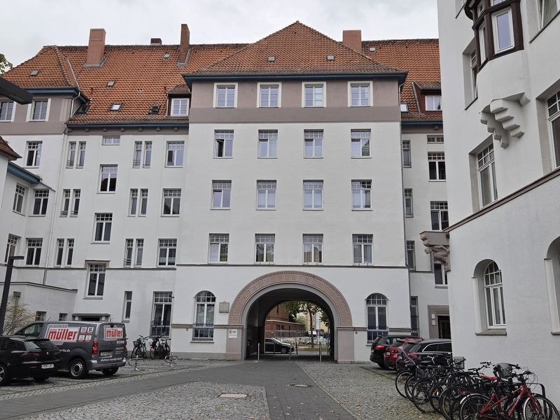
3. Brüggemannhof Marker
Photographed by James Hulse, October 9, 2026
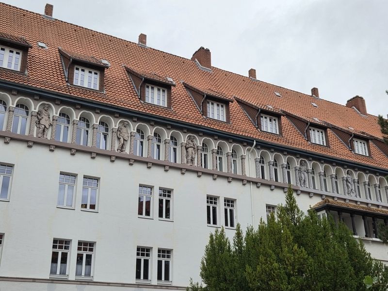
4. Brüggemannhof Artwork
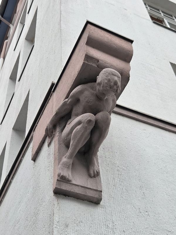
Photographed by James Hulse, October 9, 2026
5. Brüggemannhof Artwork
Credits. This page was last revised on November 3, 2026. It was originally submitted on November 3, 2026, by James Hulse of Medina, Texas. This page has been viewed 6 times since then. Photos: 1, 2, 3, 4, 5. submitted on November 3, 2026, by James Hulse of Medina, Texas.
