Sun City Carolina Lakes in Indian Land in Lancaster County, South Carolina — The American South (South Atlantic)
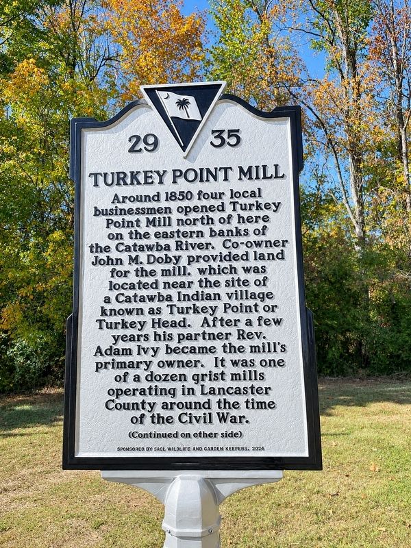
Turkey Point Mill
⎯⎯⎯
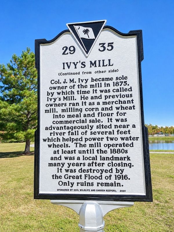
Ivy’s Mill
Photographed by Ronald Patton
1. Turkey Point Mill / Ivy’s Mill Marker
(side 1) Turkey Point Mill
Around 1850 four local businessmen opened Turkey Point Mill north of here on the eastern banks of the Catawba River. Co-owner John M. Doby provided land for the mill, which was located near the site of a Catawba Indian village known as Turkey Point or Turkey Head. After a few years his partner Rev. Adam Ivy became the mill's primary owner. It was one of a dozen grist mills operating in Lancaster County around the time of the Civil War.
Erected 2026 by Sun City Carolina Lakes (SSCL) Wildlife and Garden Keepers. (Marker Number 29-35.)
Topics. This
this page online
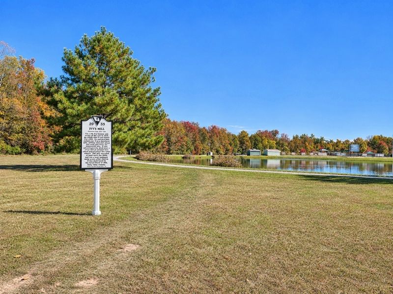
Location. 34° 55.886′ N, 80° 51.91′ W. Marker is in Indian Land, South Carolina, in Lancaster County. It is in Sun City Carolina Lakes. It can be reached from Sun City Boulevard half a mile north of Del Webb Boulevard, on the left when traveling west. The marker is located along the walking path on the north side of the pond in Rivers Edge Park. Park at the softball field. Touch for map. Marker is in this post office area: Fort Mill SC 29707, United States of America. Touch for directions.

Regionally, this marker is in the Midlands and in the Olde English District. It is also in the American South and specifically in the Deep South. Globally, it is in North America, the Western Hemisphere, the Western World, and the Anglosphere. Historically, it finds itself in what was once the territory of the Mississippian Culture, one of the original Thirteen Colonies, one of the Confederate States of America, and the Antebellum South.
Other nearby markers. At least 8 other markers are within 7 miles of this marker, measured
Photographed by Ronald Patton, November 2, 2026
2. Turkey Point Mill / Ivy’s Mill Marker
Photographed by Ronald Patton, November 2, 2026
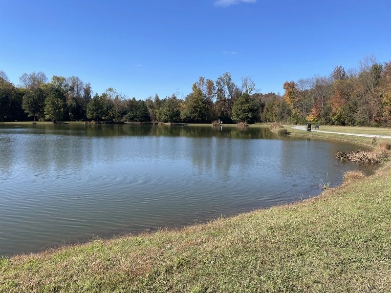
3. Turkey Point Mill / Ivy’s Mill Marker
Marker is on the far side of the pond
Photographed by Ronald Patton
4. Turkey Point Mill / Ivy’s Mill Marker
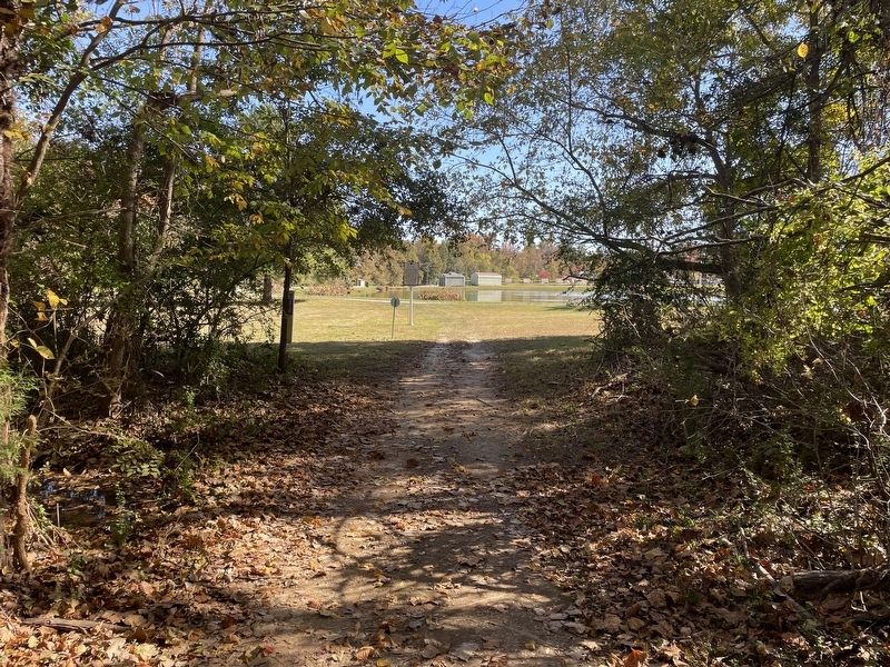
Photographed by Ronald Patton, November 2, 2026
5. Turkey Point Mill / Ivy’s Mill Marker
Path to the ruins
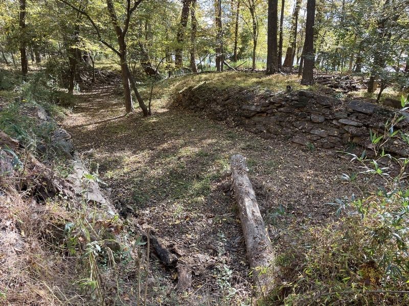
Photographed by Ronald Patton, November 2, 2026
6. Turkey Point Mill / Ivy’s Mill Marker
The ruins
Credits. This page was last revised on November 7, 2026. It was originally submitted on November 5, 2026, by Ronald Patton of Lancaster, South Carolina. This page has been viewed 12 times since then. Photos: 1, 2, 3, 4, 5, 6. submitted on November 5, 2026, by Ronald Patton of Lancaster, South Carolina. • Bernard Fisher was the editor who published this page.
