THE HISTORICAL
MARKER DATABASE
“Bite-Size Bits of Local, National, and Global History”
West Queen West in Toronto, Ontario — Central Canada (North America)
 

West End Y.M.C.A.

1890
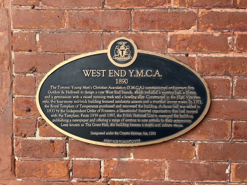
 
 
West End Y.M.C.A. Marker image. Click for full size.
Photographed by Tim Boyd, November 2, 2026
1. West End Y.M.C.A. Marker
Inscription. The Toronto Young Men's Christian Association (Y.M.C.A.) commissioned architecture firm Gordon & Helliwell to design a new West End branch, which included a meeting hall, a library, and a gymnasium with a raised running track and a bowling alley. Constructed in the High Victorian style, the four-storey red-brick building featured sandstone accents and a rounded corner tower. In 1912, the Royal Templars of Temperance purchased and renovated the building. A dance hall was added in 1933 by the Independent Order of Foresters, a like minded fraternal organization that had merged with the Templars. From 1939 until 1987, the Polish National Union managed the building, publishing a newspaper and offering a range of services to new arrivals in their community. Later known as The Great Hall, the building became a music and culture venue.

Designated under the Ontario Heritage Act, 1985
 
Erected 2016 by Heritage Toronto.
 
Topics and series. This historical marker is listed in these topic lists: Architecture • Notable Buildings. In addition, it is included in the Canada, Toronto Heritage series list. A significant historical year for this entry is 1890.
 
Location. 43° 38.609′ N,
Paid Advertisement
Click or scan to see
this page online
79° 25.324′ W. Marker is in Toronto, Ontario. It is in West Queen West. It is on Queen Street West near Dovercourt Road, on the right when traveling east. Touch for map. Marker is at or near this postal address: 1087 Queen Street W, Toronto ON M6J 1H3, Canada. Touch for directions.

Regionally, this marker is in Greater Toronto and on the Golden Horseshoe. It is also in Central Canada. Globally, it is in North America, on the Great Lakes, in the Western Hemisphere, in the Western World, and in the Anglosphere. Historically, it finds itself in what was once a British colony, the Viceroyalty of New France, the Haudenosaunee (Iroquois) Confederacy, and Rupert’s Land.

Other nearby markers. At least 8 other markers are within walking distance of this marker: Tom Longboat (within shouting distance of this marker); The Beatrice Lillie Building (about 120 meters away, measured in a direct line); Ideal Bread Company Factory (approx. 0.3 kilometers away); King Street West Railway Subway (Underpass) (approx. 0.4 kilometers away); Muhammad Ali vs. George Chuvalo (approx. 0.4 kilometers away); Gladstone Hotel
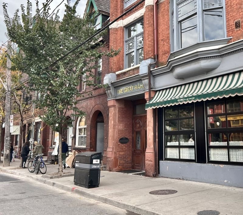
West End Y.M.C.A. Marker image. Click for full size.
Photographed by Tim Boyd, November 2, 2026
2. West End Y.M.C.A. Marker
(approx. 0.4 kilometers away); a different marker also named The Gladstone Hotel (approx. 0.4 kilometers away); Colonel James Givins (approx. 0.4 kilometers away). Touch for a list and map of all markers in Toronto.
 
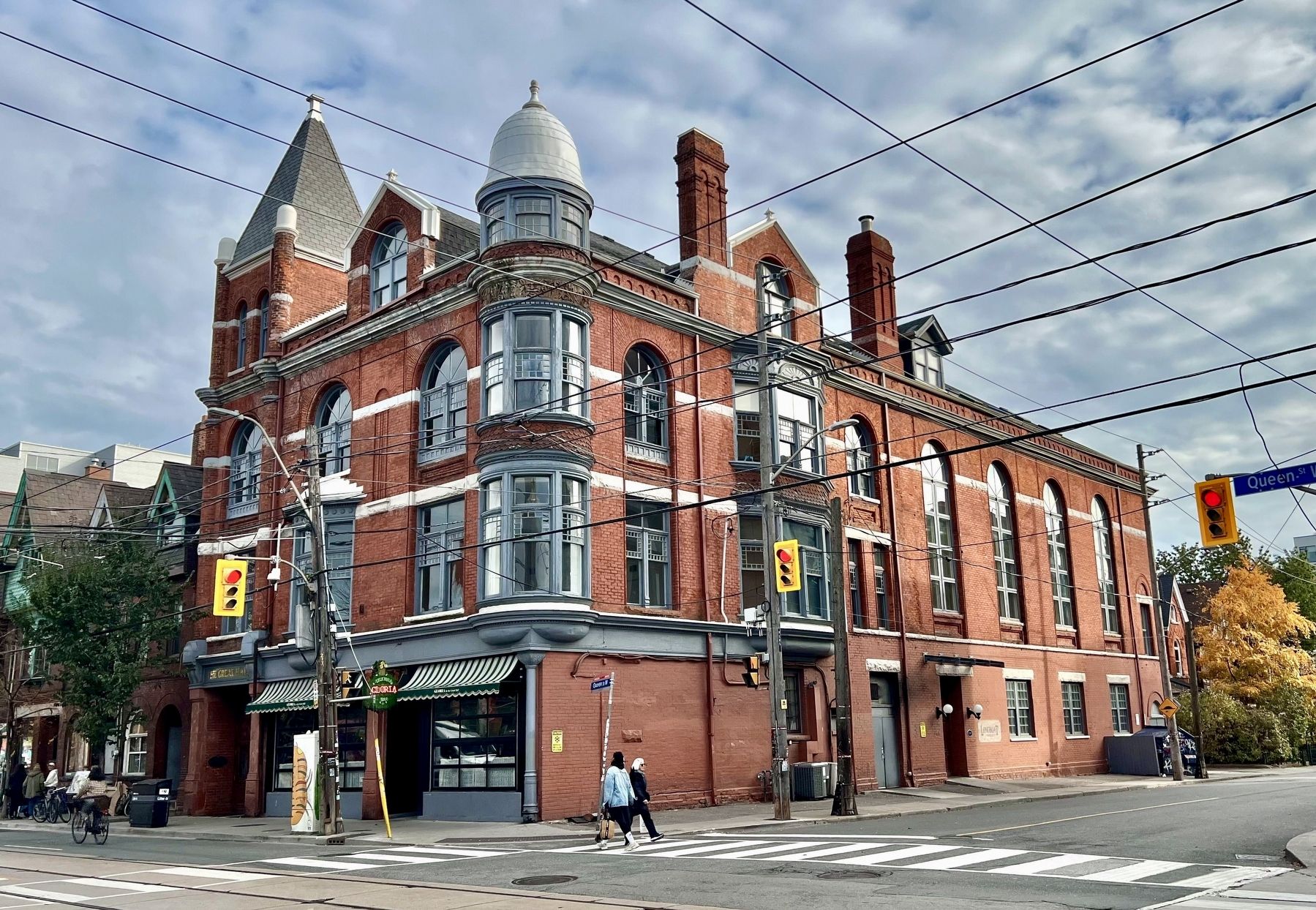
Former West End Y.M.C.A. In 2026 image. Click for full size.
Photographed by Tim Boyd, November 2, 2026
3. Former West End Y.M.C.A. In 2026
 
 
Credits. This page was last revised on November 6, 2026. It was originally submitted on November 6, 2026, by Tim Boyd of Hamilton, Ontario. This page has been viewed 6 times since then. Photos:   1, 2, 3. submitted on November 6, 2026, by Tim Boyd of Hamilton, Ontario. • Andrew Ruppenstein was the editor who published this page.

m=316008

CeraNet Cloud Computing sponsors the Historical Marker Database.
This website earns income from purchases you make after using our links to Amazon.com. We appreciate your support.
Paid Advertisement
Nov. 11, 2026