Dover in Kent, England, United Kingdom — Northwestern Europe (the British Isles)
Thomas Pattenden
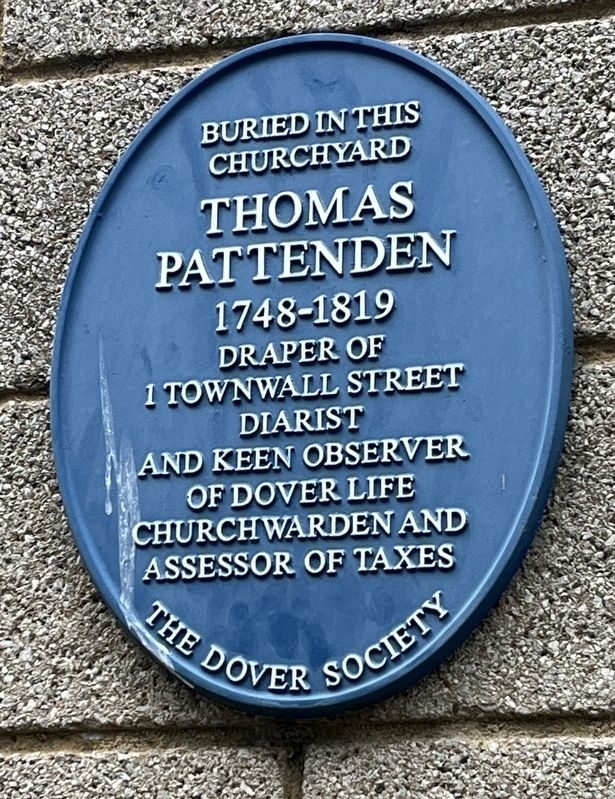
Photographed by Ray Gurganus, April 2, 2026
1. Thomas Pattenden Marker
Buried in this churchyard
Thomas Pattenden
1748-1819
Draper of
1 Townwall Street
Diarist
and keen observer
of Dover life
Church warden and
assessor of taxes
Erected 2010 by The Dover Society.
Topics. This historical marker is listed in this topic list: Arts, Letters, Music.
Location. 51° 7.575′ N, 1° 18.779′ E. Marker is in Dover, England, in Kent. It can be reached from Cannon Street, on the right when traveling north. The marker is mounted to the exterior of St Mary’s Parish Centre. Touch for map. Marker is at or near this postal address: 5 Church Street, Dover, England CT16 1BY, United Kingdom. Touch for directions.

Regionally, this marker is in the Greater South East. Globally, it is on the Atlantic Ocean, in the North Atlantic Region, in Europe, in Atlantic Europe, on one of the British Isles, in the Western World, and in the Anglosphere. Historically, it finds itself in what was once the Roman Empire.
Other nearby markers. At least 8 other markers are within walking distance of this marker: St. Mary’s Church and Cannon Street (within
this page online
Also see . . . Thomas Pattenden (The Dover Society). (Submitted on November 7, 2026.)
Additional keywords. blue plaque
Credits. This page was last revised on November 7, 2026. It was originally submitted on November 6, 2026, by Ray Gurganus of Washington, District of Columbia. This page has been viewed 4 times since then. Photo 1. submitted on November 6, 2026, by Ray Gurganus of Washington, District of Columbia. • Andrew Ruppenstein was the editor who published this page.
