Trinity-Bellwoods in Toronto, Ontario — Central Canada (North America)
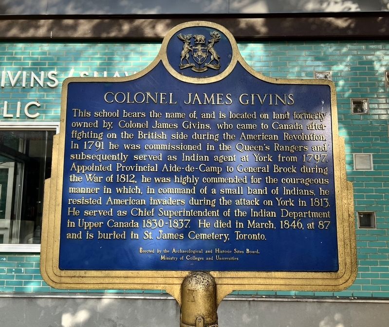
Colonel James Givins
Photographed by Tim Boyd, November 2, 2026
1. Colonel James Givins Marker
Erected 1973 by Ontario Archaeological and Historic Sites Board.
Topics and series. This historical marker is listed in these topic lists: War of 1812 • War, US Revolutionary. In addition, it is included in the Canada, Ontario Heritage Trust series list. A significant historical year for this entry is 1791.
Location. 43° 38.771′ N, 79° 25.082′ W. Marker is in Toronto, Ontario. It is in Trinity-Bellwoods. It is on Givins Street 0.1
this page online

Regionally, this marker is in Greater Toronto and on the Golden Horseshoe. It is also in Central Canada. Globally, it is in North America, on the Great Lakes, in the Western Hemisphere, in the Western World, and in the Anglosphere. Historically, it finds itself in what was once a British colony, the Viceroyalty of New France, the Haudenosaunee (Iroquois) Confederacy, and Rupert’s Land.
Other nearby markers. At least 8 other markers are within walking distance of this marker: Muhammad Ali vs. George Chuvalo (about 120 meters away, measured in a direct line); Memorial Wall Plaques Dedicated to Patient Labourers (about 210 meters away); John Gibson House (approx. 0.3 kilometers away); St. Hilda’s College (approx. 0.3 kilometers away); The Church of the Good Samaritan (approx. 0.3 kilometers away); Crawford Street Bridge (approx. 0.4 kilometers away); Trinity College (approx. 0.4 kilometers away); Ideal Bread Company Factory
Photographed by Tim Boyd, November 2, 2026
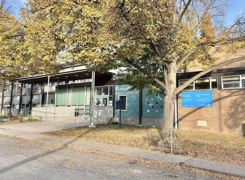
2. Colonel James Givins Marker
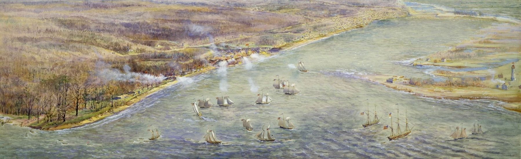
3. The Battle of York (Toronto), 1813
Givins fought alongside the Mississauga who were the main force to oppose the Americans landing on the shore.
Source: Toronto Public Library (public domain)
Credits. This page was last revised on November 9, 2026. It was originally submitted on November 7, 2026, by Tim Boyd of Hamilton, Ontario. This page has been viewed 7 times since then. Photos: 1, 2, 3. submitted on November 7, 2026, by Tim Boyd of Hamilton, Ontario. • Andrew Ruppenstein was the editor who published this page.
