Sioux City, Iowa — The American Midwest (Upper Plains)
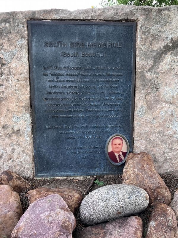
South Side Memorial
(South Bottoms)
Photographed by Barry Swackhamer, July 18, 2025
1. South Side Memorial
Wall Street Mission / Goodwill Industries began here and served as a focal point for the people of the South Side.
South Side Committee
1997
Erected 1997 by South Side Committee.
Topics. This historical marker and memorial is listed in this topic list: Charity & Public Work. A significant historical year for this entry is 1997.
Location. 42° 29.153′ N, 96° 23.759′ W. Marker is in Sioux City in , Iowa. It can be reached from South Floyd Boulevard near Interstate 27. The marker is located in Chris Larsen Park. Touch for map. Marker is at or near this postal address: 700 South Floyd Boulevard, Sioux City IA, United States of America. Touch for directions.

Regionally, this marker and
this page online
Other nearby markers. At least 8 other markers are within 2 miles of this marker, measured as the crow flies: The South Bottoms (approx. 0.6 miles away); The Spirit of Siouxland (approx. ¾ mile away); Siouxland Veterans Memorial Bridge (approx. 0.9 miles away); Pacific Short Line Bridge (Nebraska Side) (approx. 0.9 miles away in Nebraska); Pacific Short Line Bridge (approx. 0.9 miles away); MA1 (EXW) John Douangdara (approx. 1.1 miles away in Nebraska); Prospect Hill (approx. 1.2 miles away); The Lewis & Clark Expedition (approx. 1.2 miles away). Touch for a list and map of all markers in Sioux City.
Also see . . . Wall Street Mission Anniversary Program - Sioux City Public Museum Virtual Collections. "...Wall Street Mission, a community and social service center once located on Wall Street (now Floyd Boulevard) in the South Bottoms neighborhood."
Photographed by Barry Swackhamer, July 18, 2025
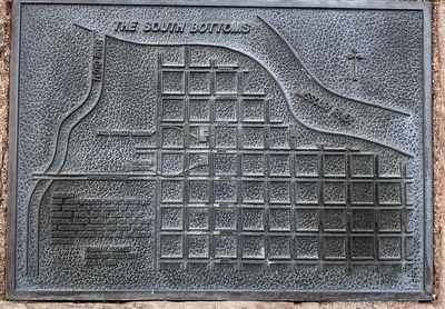
2. The South Bottoms
Whereas:
That area bounded on the north by 3rd Street, on the south by the Missouri River, on the east by the original Floyd River, and on the west by Nebraska Street, has been and is otherwise known to all as the South Bottoms.
William F, Skinner, Mayor of Sioux City, July 11, 1981
That area bounded on the north by 3rd Street, on the south by the Missouri River, on the east by the original Floyd River, and on the west by Nebraska Street, has been and is otherwise known to all as the South Bottoms.
William F, Skinner, Mayor of Sioux City, July 11, 1981
Photographed by Barry Swackhamer, July 18, 2025
3. South Side Memorial
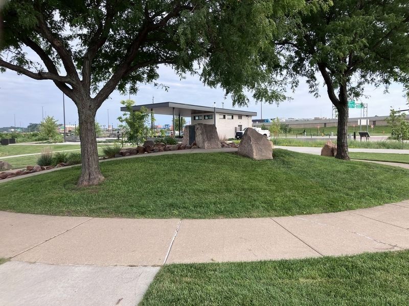
The marker is beside the structure.
Credits. This page was last revised on November 7, 2026. It was originally submitted on November 7, 2026, by Barry Swackhamer of Brentwood, California. This page has been viewed 10 times since then. Photos: 1, 2, 3. submitted on November 7, 2026, by Barry Swackhamer of Brentwood, California.
