Castlefield in Manchester in Greater Manchester, England, United Kingdom — Northwestern Europe (the British Isles)
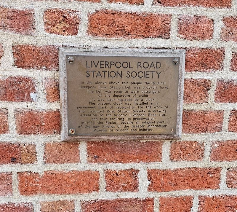
Liverpool Road Station Society
Photographed by Ian Lefkowitz, September 14, 2026
1. Liverpool Road Station Society Marker
Erected by Liverpool Road Station Society.
Topics. This historical marker is listed in this topic list: Railroads & Streetcars. A significant historical date for this entry is September 15, 1830.
Location. 53° 28.642′ N, 2° 15.516′ W. Marker is in Manchester, England, in Greater Manchester. It is in Castlefield. It can be reached from Liverpool Road west of Lower Byrom Street, on the right when traveling west. The 1830 Station is located on the campus of the Science and Industry Museum. Touch for map. Marker is at or near this postal address: 127C Liverpool Rd, Manchester, England M3 4JN, United Kingdom. Touch for directions.

Regionally,
this page online
Other nearby markers. At least 8 other markers are within walking distance of this marker: The Goods Office / 1830 Viaduct (about 180 meters away, measured in a direct line); Two Cylinder Crossley Engine (approx. 0.3 kilometers away); Western Wall & Roman Granary (approx. 0.3 kilometers away); Castlefield (approx. 0.4 kilometers away); John Owens (approx. 0.4 kilometers away); The Roman Fort (approx. 0.4 kilometers away); The North Gate / Roman Settlement in Manchester (approx. 0.4 kilometers away); Roman Manchester / Welcome to Castlefield (approx. 0.4 kilometers away). Touch for a list and map of all markers in Manchester.
Photographed by Ian Lefkowitz, September 14, 2026
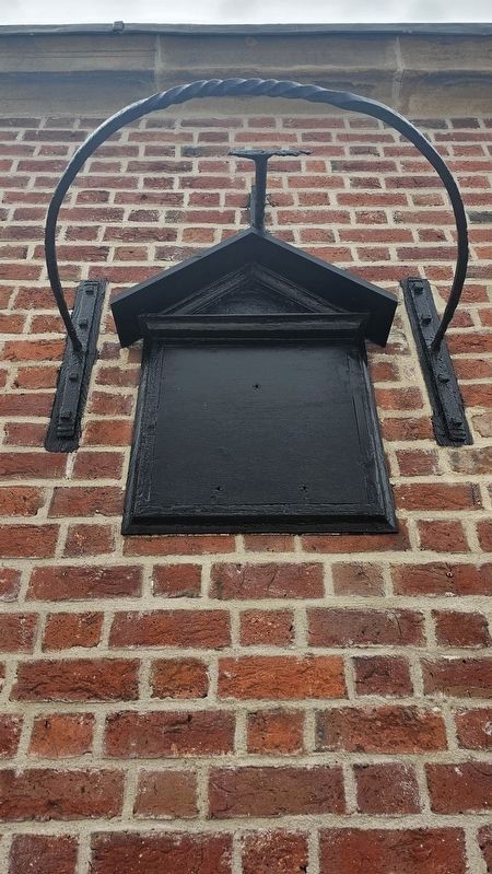
2. Liverpool Road Station Bell
The site of the bell that once rung upon the impending departure of a train.
Photographed by Ian Lefkowitz, September 14, 2026
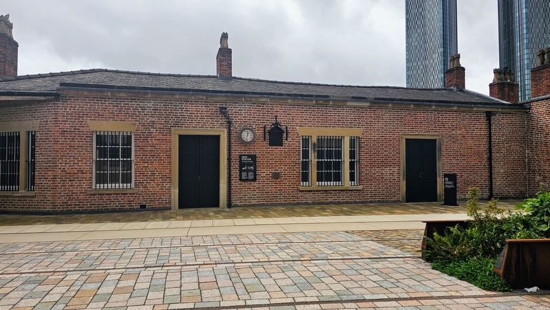
3. Liverpool Road Station
The station is the oldest surviving passenger railway station in the world. The marker is located beneath an alcove in the station wall.
Credits. This page was last revised on November 10, 2026. It was originally submitted on November 7, 2026, by Ian Lefkowitz of New York, New York. This page has been viewed 6 times since then. Photos: 1, 2, 3. submitted on November 7, 2026, by Ian Lefkowitz of New York, New York. • Andrew Ruppenstein was the editor who published this page.
