Deansgate in Manchester in Greater Manchester, England, United Kingdom — Northwestern Europe (the British Isles)
John Owens
Photographed by Ian Lefkowitz, September 14, 2026
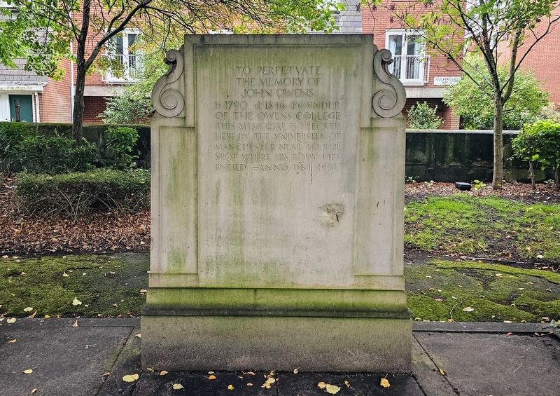
1. John Owens Marker
To perpetuate
the memory of
John Owens
b. 1790 d. 1846 Founder
of the Owens College
This memorial is erected here by the University of Manchester near to the spot where his body lies buried — Anno Dni 1931
Erected 1931 by the University of Manchester.
Topics. This historical marker is listed in this topic list: Education. A significant historical year for this entry is 1790.
Location. 53° 28.663′ N, 2° 15.183′ W. Marker is in Manchester, England, in Greater Manchester. It is in Deansgate. It is on Culvercliff Walk west of Lower Byrom Street, on the left when traveling east. Located within St. John’s Gardens. Touch for map. Marker is at or near this postal address: 6 Culvercliff Walk, Manchester, England M3 4FL, United Kingdom. Touch for directions.

Regionally, this marker is in North West England. Globally, it is on the Atlantic Ocean, in the North Atlantic Region, in Europe, in Atlantic Europe, on one of the British Isles, in the Western World, and in the Anglosphere. Historically, it finds itself in what was once the Roman Empire.
Other nearby markers. At least 8 other markers are within walking distance
this page online
Also see . . . St John's Gardens, Manchester (Wikipedia).
St John's Gardens in central Manchester, England, lies between Lower Byrom Street, Byrom Street and Quay Street. Previously occupied by St John's Church and its graveyard between 1769 and 1931, the site was redeveloped into a formal garden in 1932. It contains a central memorial to the church and those buried in its graveyard, whose tombstones have been covered over by 18 inches (460 mm) of soil except for that of John Owens, founder of Owen's College.(Submitted on November 7, 2026, by Ian Lefkowitz of New York, New York.)
Photographed by Ian Lefkowitz, September 14, 2026
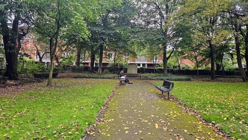
2. John Owens Marker
The plaque is located on the grounds of St. John's Gardens.
Credits. This page was last revised on November 7, 2026. It was originally submitted on November 7, 2026, by Ian Lefkowitz of New York, New York. This page has been viewed 5 times since then. Photos: 1, 2. submitted on November 7, 2026, by Ian Lefkowitz of New York, New York. • Andrew Ruppenstein was the editor who published this page.
