Schuylerville in Saratoga County, New York — The American Northeast (Mid-Atlantic)
Near This Spot
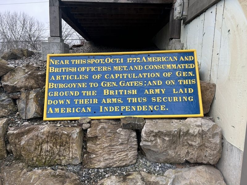
Photographed by Steve Stoessel, November 7, 2026
1. Near This Spot Marker
Topics. This historical marker is listed in this topic list: War, US Revolutionary. A significant historical year for this entry is 1777.
Location. 43° 5.994′ N, 73° 34.774′ W. Marker is in Schuylerville, New York, in Saratoga County. It can be reached from Reds Road north of Ferry Street (New York State Route 29). Marker is behind the Champlain Canal Region Gateway Visitors Center, which also the site of the Saratoga Revolutionary Experience 1777, in the trailhead parking lot. Touch for map. Marker is at or near this postal address: 28 Ferry Street, Schuylerville NY 12871, United States of America. Touch for directions.

Regionally, this marker is in Upstate New York, in the Capital District, and in the Albany Metropolitan Area. It is also in the American Northeast and in the Mid-Atlantic. Globally, it is in North America, the Great North Woods, the Western Hemisphere, the Western
this page online
Other nearby markers. At least 8 other markers are within walking distance of this marker: The Fate Of The Defeated (here, next to this marker); Who Was In An 18th Century Army (here, next to this marker); An Army On The Move (here, next to this marker); America’s Turning Point (a few steps from this marker); a different marker also named America’s Turning Point (a few steps from this marker); General Lafayette (within shouting distance of this marker); First Bridge (within shouting distance of this marker); The Surrender Tree (within shouting distance of this marker). Touch for a list and map of all markers in Schuylerville.
Also see . . . Saratoga Campaign & Surrender (Wikipedia). (Submitted on November 7, 2026, by Steve Stoessel of Niskayuna, New York.)
Additional commentary.
1. Dates on marker are wrong
The date on the marker isn’t correct. The Second Battle of Saratoga didn’t occur until Oct. 7, 1777, and Gen. Burgoyne didn’t consider surrender until the 13th.
— Submitted November 7, 2026, by Steve Stoessel of Niskayuna, New York.
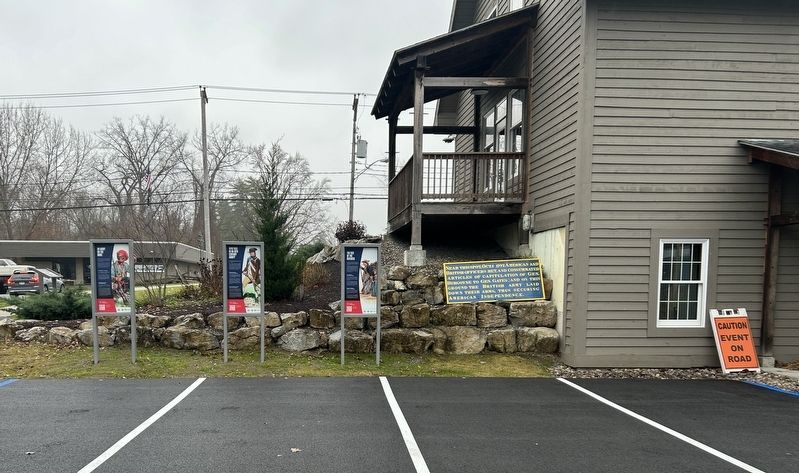
Photographed by Steve Stoessel, November 7, 2026
2. Near This Spot Marker
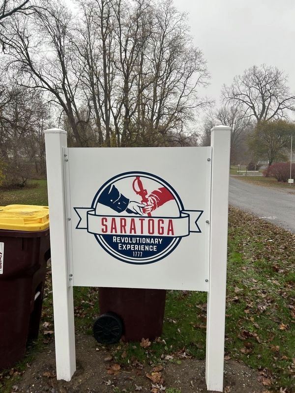
Photographed by Steve Stoessel, November 7, 2026
3. Near This Spot Marker
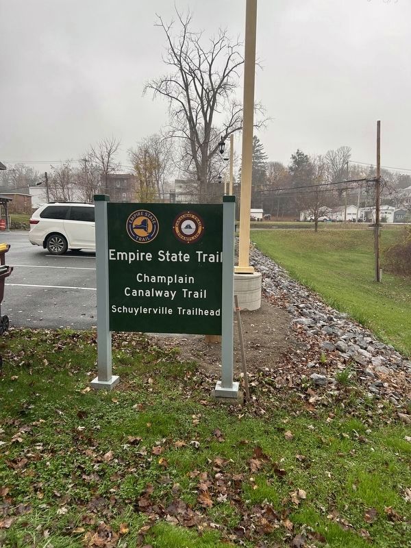
Photographed by Steve Stoessel, November 7, 2026
4. Near This Spot Marker
Credits. This page was last revised on November 7, 2026. It was originally submitted on November 7, 2026, by Steve Stoessel of Niskayuna, New York. This page has been viewed 7 times since then. Photos: 1, 2, 3, 4. submitted on November 7, 2026, by Steve Stoessel of Niskayuna, New York.
