Manor Park in Northwest Washington in Washington, District of Columbia — The American Northeast (Mid-Atlantic)
Exodus Missionary Baptist Church
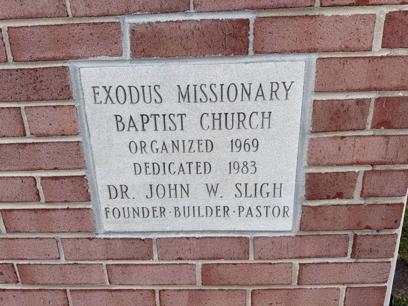
Photographed by Devry Becker Jones (CC0), November 8, 2026
1. Exodus Missionary Baptist Church Marker
Dedicated 1983
Dr. John W. Sligh
Founder · Builder · Pastor
Topics. This historical marker is listed in these topic lists: African Americans • Religion & Religious Structures. A significant historical year for this entry is 1969.
Location. 38° 57.921′ N, 77° 1.567′ W. Marker is in Northwest Washington in Washington, District of Columbia. It is in Manor Park. It is on 9th Street Northwest north of Rittenhouse Street Northwest, on the left when traveling north. Touch for map. Marker is at or near this postal address: 901 Rittenhouse St NW, Washington DC 20011, United States of America. Touch for directions.

Regionally, this marker is in the Washington Metropolitan Area. It is also in the American Northeast, in the Upper South, in the Mid-Atlantic, in the Tidewater, and in the Chesapeake Bay Region. Globally, it is in North America, the Western Hemisphere, the Western World, and the Anglosphere.
Other nearby markers. At least 8 other markers are within walking distance of this marker: A different marker also named The Rock on Brightwood Avenue (approx. 0.2 miles away); a different marker
this page online
Other markers no longer nearby. Park and Shop! (was about 500 feet away, measured in a direct line but has been confirmed missing); The Rock on Brightwood Avenue (was approx. 0.2 miles away but has been reported to have been replaced with another marker now near it); Fort Stevens (was approx. 0.2 miles away but has been replaced with another marker now near it).
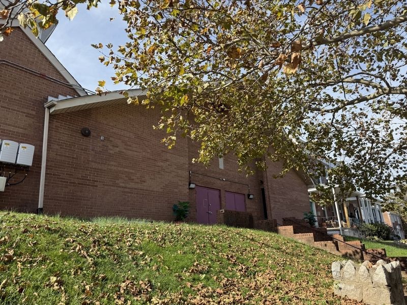
Credits. This page was last revised on November 8, 2026. It was originally submitted on November 8, 2026, by Devry Becker Jones of Washington, District of Columbia. This page has been viewed 5 times since then. Photos: 1, 2. submitted on November 8, 2026, by Devry Becker Jones of Washington, District of Columbia.
Editor’s want-list for this marker. A wide shot of the marker in context • A photo of the church signage • Can you help?
