Desert Hot Springs in Riverside County, California — The American West (Pacific Coastal)
Yerxa’s Discovery
Cabot’s Pueblo Museum
Photographed by Craig Baker
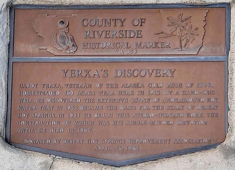
1. Yerxa’s Discovery Marker
County of Riverside Historical Marker No. 054.
Cabot Yerxa, veteran of the Alaska Gold Rush of 1898, homesteaded 160 acres near here in 1913. By a hand-dug well, he discovered the extensive supply of underground hot water that in 1933 became the basis for the start of Desert Hot Springs. In 1941 he began this pueblo-inspired home, the construction of which was his single-minded devotion until he died in 1965.
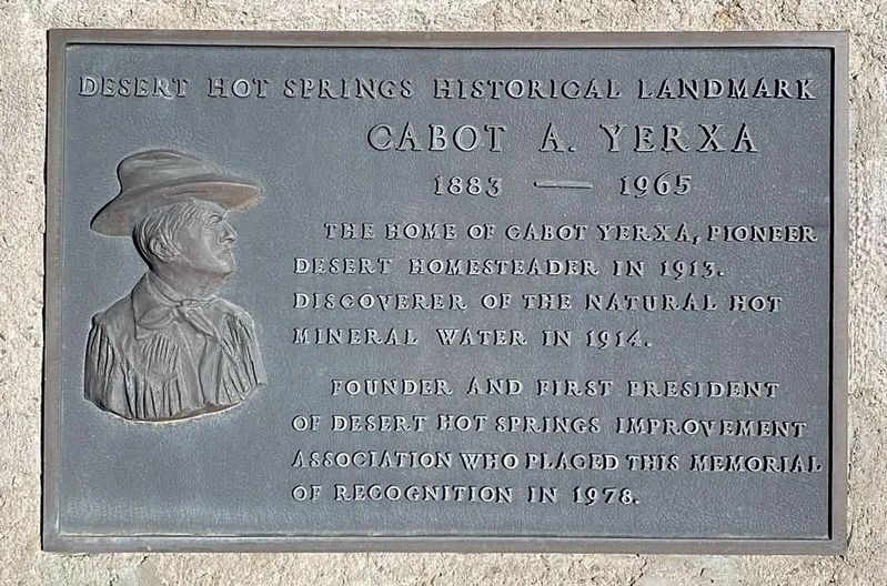
Desert Hot Springs Historical Landmark
Cabot A. Yerxa, 1883 - 1965
The home of Cabot Yerxa, pioneer desert homesteader in 1913. Discoverer of the natural hot mineral water in 1914. Founder and first president of Desert Hot Springs Improvement Association who placed this memorial of recognition in 1978.
Erected 1981 by County of Riverside, and Desert Hot Springs Improvement Association. (Marker Number 54.)
Topics. This historical marker is listed in these topic lists: Architecture • Industry & Commerce. A significant historical year for this entry is 1898.
Location. 33° 57.479′ N, 116° 28.897′ W. Marker is in Desert Hot Springs, California, in Riverside County. It can be reached
this page online

Regionally, this marker is in Greater Los Angeles, in the Coachella Valley, and in the Peninsular Ranges. It is also in the American Southwest. Globally, it is in North America, on the Ring of Fire, on the Pacific Rim, in the Western Hemisphere, in the Western World, and in the Anglosphere. Historically, it finds itself in what was once New Spain and also Mexico’s Alta California.
Other nearby markers. At least 8 other markers are within 9 miles of this marker, measured as the crow flies: Pil-O-Rox Historic Rock House (approx. 1.6 miles away); Heroic Veterans (approx. 8.2 miles away); Tramway Gas Station (approx. 8.2 miles away); Morongo Indian Village (approx. 8.2 miles away); Angel Cove (approx. 8.2 miles away); The Grace Lewis Miller Residence (approx. 8.3 miles away); McDonnell Douglas A-4 Skyhawk (approx. 8.7 miles away); Albert Frey Bel Vista Home (approx. 8.7 miles away).
Photographed by Craig Baker
2. Cabot A. Yerxa Marker
Also see . . . Cabot’s Pueblo Museum. (Submitted on November 9, 2026.)
Photographed by Craig Baker
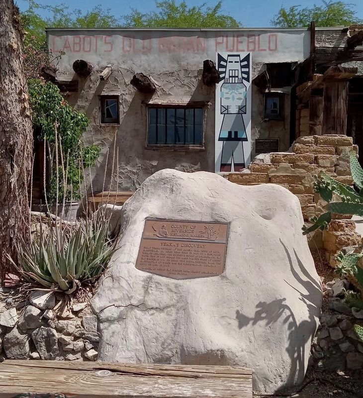
3. Yerxa’s Discovery Marker
Photographed by Craig Baker
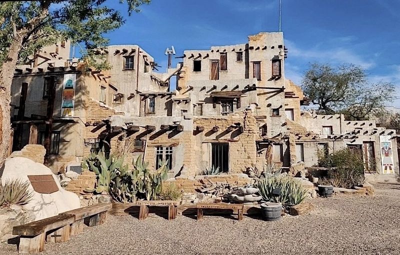
4. Yerxa’s Discovery Marker and Pueblo
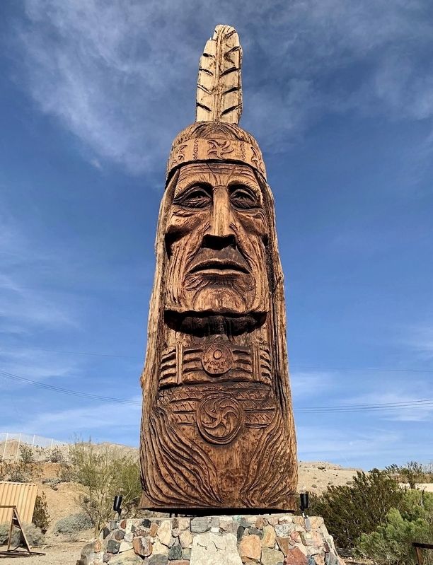
Photographed by Craig Baker
5. Sculpture
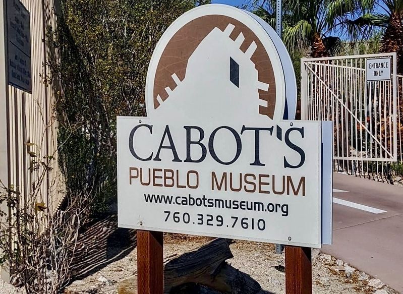
Photographed by Craig Baker
6. Cabot’s Pueblo Museum
Credits. This page was last revised on November 9, 2026. It was originally submitted on November 9, 2026, by Craig Baker of Sylmar, California. This page has been viewed 8 times since then. Photos: 1, 2, 3, 4, 5, 6. submitted on November 9, 2026, by Craig Baker of Sylmar, California.
