Fortuna in Humboldt County, California — The American West (Pacific Coastal)
The Meeting Hall
Photographed by Andrew Ruppenstein, November 8, 2026
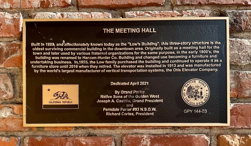
1. The Meeting Hall Marker
Built in 1889, and affectionately known today as the "Low's Building", this three-story structure is the oldest surviving commercial building in the downtown area. Originally built as a meeting hall for the town and later used by various fraternal organizations for the same purpose, in the early 1900's, the building was renamed to Hansen-Hunter Co. Building and changed use becoming a furniture and undertaking business. In 1955, the Low family purchased the building and continued to operate it as a furniture store until 2016 when they retired. The elevator was installed in 1913 and was manufactured by the world's largest manufacturer of vertical transportation systems, the Otis Elevator Company.
Dedicated April 2021
By Grand Parlor
Native Sons of the Golden West
Joseph A. Castillo, Grand President
and
Ferndale Parlor #93 N.S.G.W.
Richard Cortez, President
Erected 2021 by Native Sons of the Golden West Grand Parlor, Ferndale Parlor #93. (Marker Number GPY 144-03.)
Topics and series. This historical marker is listed in these topic lists: Fraternal or Sororal Organizations • Industry & Commerce.
this page online
Location. 40° 35.885′ N, 124° 9.441′ W. Marker is in Fortuna, California, in Humboldt County. It is at the intersection of Main Street and 9th Street, on the left when traveling east on Main Street. Touch for map. Marker is at or near this postal address: 906 Main Street, Fortuna CA 95540, United States of America. Touch for directions.

Regionally, this marker is in the North Coast, specifically on the Coast Ranges, and in the Klamath Mountains. It is also on the American Pacific Coast and in the Pacific Northwest. Globally, it is in North America, on the Ring of Fire, on the Pacific Rim, in the Western Hemisphere, in the Western World, and in the Anglosphere. Historically, it finds itself in what was once New Spain and also Mexico’s Alta California.
Other nearby markers. At least 8 other markers are within 6 miles of this marker, measured as the crow flies: Gushaw-Mudgett House (about 400 feet away, measured in a direct line); Fortuna Rodeo Grounds Grandstand (approx. half a mile away);
Photographed by Andrew Ruppenstein, November 8, 2026
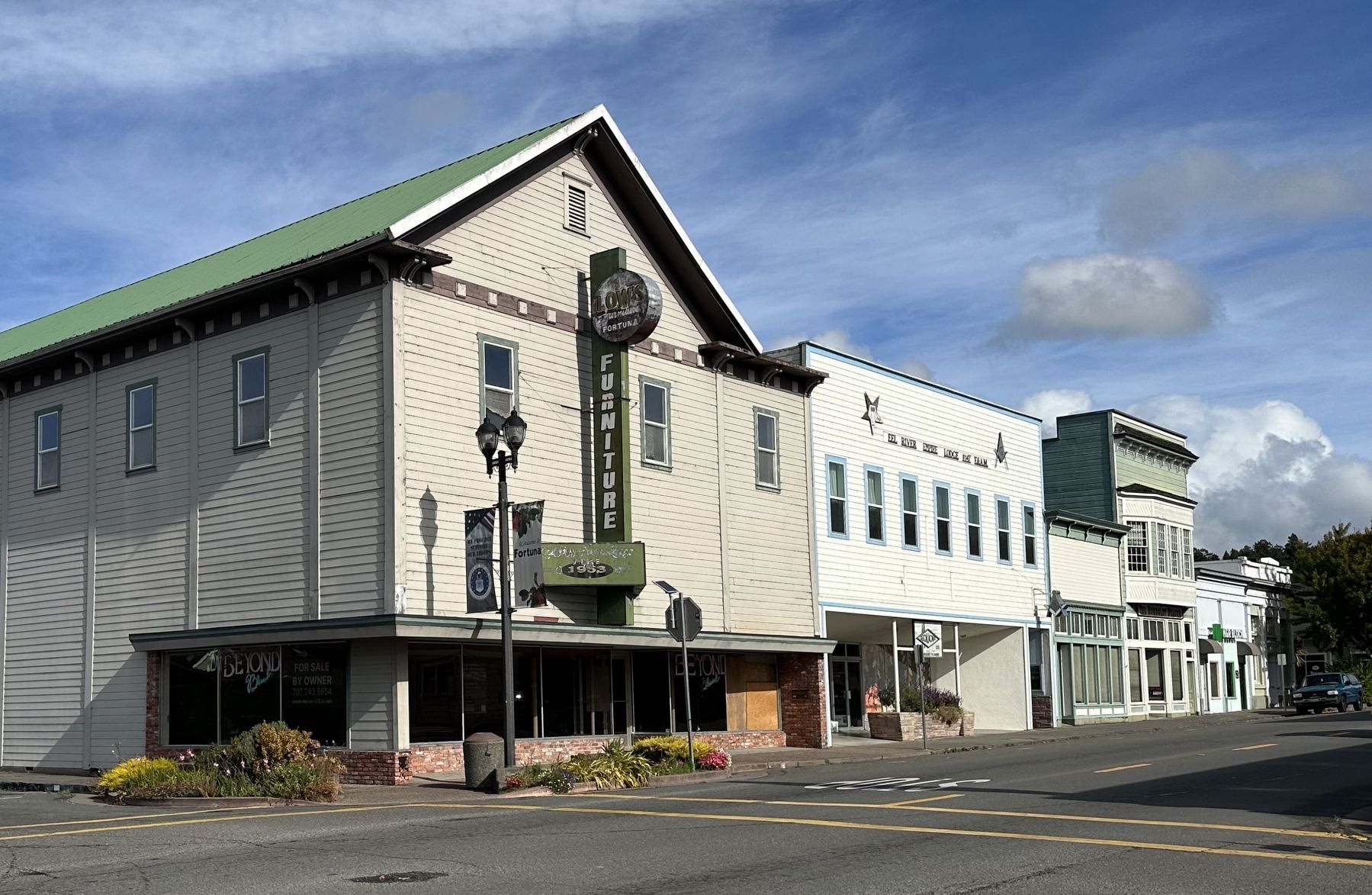
2. The former Meeting Hall and marker
The marker is mounted on the right edge of the building, on the brickwork.
Credits. This page was last revised on November 9, 2026. It was originally submitted on November 9, 2026, by Andrew Ruppenstein of Lamorinda, California. This page has been viewed 6 times since then. Photos: 1, 2. submitted on November 9, 2026, by Andrew Ruppenstein of Lamorinda, California.
