Port Tobacco in Charles County, Maryland — The American Northeast (Mid-Atlantic)
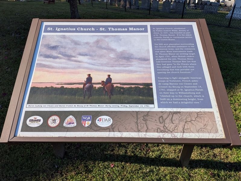
St. Ignatius Church - St. Thomas Manor
Photographed by Evan Dwyer, October 31, 2026
1. St. Ignatius Church - St. Thomas Manor Marker
Image Caption: Baron Ludwig von Closen and Baron Cromot du Bourg at St Thomas Manor: Early evening, Friday, September 14, 1781.
Erected by Maryland Heritage Area, Maryland Veterans Museum at Patriot Park, Washington-Rochambeau National Historic Trail, W3R, DAR Port Tobacco Chapter.
Topics and series. This historical marker is listed in these topic lists: Patriots & Patriotism • Religion & Religious Structures • War, US Revolutionary. In addition, it is included in the Daughters of the American Revolution (DAR), and the The Washington-Rochambeau Route series lists. A significant historical date for this entry is September 14, 1781.
Location. 38° 27.941′ N, 77° 1.444′ W. Marker is in Port Tobacco, Maryland, in Charles County. It is on Chapel Point Road 0.1 miles east of Atlantic Road, on the left when traveling west. Touch for map. Marker is at or near this postal address: 8855 Chapel Point Road, Port Tobacco MD 20677, United
this page online

Regionally, this marker is in the Washington Metropolitan Area and in Southern Maryland. It is also in the American South, specifically in the Upper South, in the Mid-Atlantic, in the Tidewater, and on the Eastern Seaboard. Globally, it is in the North Atlantic Region, North America, the Western Hemisphere, the Western World, and the Anglosphere. Historically, it finds itself in what was once one of the original Thirteen Colonies and also the Antebellum South.
Other nearby markers. At least 8 other markers are within 2 miles of this marker, measured as the crow flies: The Tension of Liberty (here, next to this marker); St. Ignatius Catholic Church (a few steps from this marker); Saint Ignatius' Church (within shouting distance of this marker); Ways to Explore Southern Maryland’s Scenic and Historic Routes (within shouting distance of this marker); Rise from the Ashes (within shouting distance of this marker); Saint Thomas Manor (within shouting distance of this marker); Chapel Point Park (approx. 0.2 miles away); Mulberry Grove (approx. 1.8 miles away). Touch for a list and map
Photographed by Evan Dwyer, October 31, 2026
2. St. Ignatius Church - St. Thomas Manor Marker
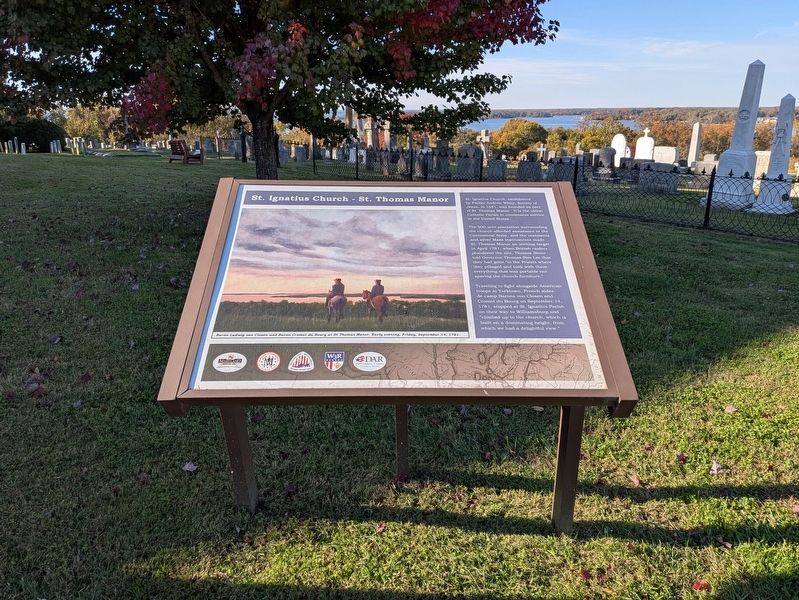
The Port Tobacco River is beyond the marker and the church cemetery. The painting on the marker is from this perspective.
Photographed by Evan Dwyer, October 31, 2026
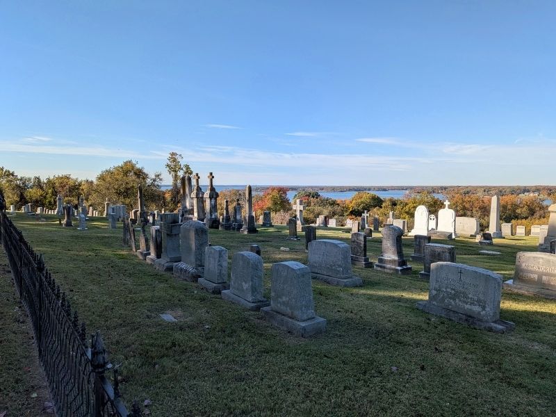
3. Port Tobacco River
View of the section of the river depicted in the painting of the French officers on the marker.
Photographed by Evan Dwyer, October 31, 2026
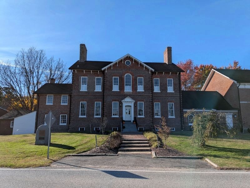
4. St. Ignatius Chapel & St. Thomas Manor
All three structures combined here (1st Floor of the Original 1690 residence - at left - with the 1697 chapel at right, connected by the 1741 Jesuit Residence in the middle) were standing on the manor's grounds during the Revolutionary War, including the British raid and the French officers' visit in 1781. The large chapel that is out of the frame to the right of the 1697 chapel dates to 1798. The second story on the original residence is from just after the Civil War, ca. 1867.
Credits. This page was last revised on November 9, 2026. It was originally submitted on November 9, 2026, by Evan Dwyer of Richmond, Virginia. This page has been viewed 8 times since then. Photos: 1, 2, 3, 4. submitted on November 9, 2026, by Evan Dwyer of Richmond, Virginia.
