Girdwood in Anchorage, Alaska — Northwest (North America)
Sunrise City
Boom Town to Ghost Town
Photographed by Leslie Eudy
1. Sunrise City Marker
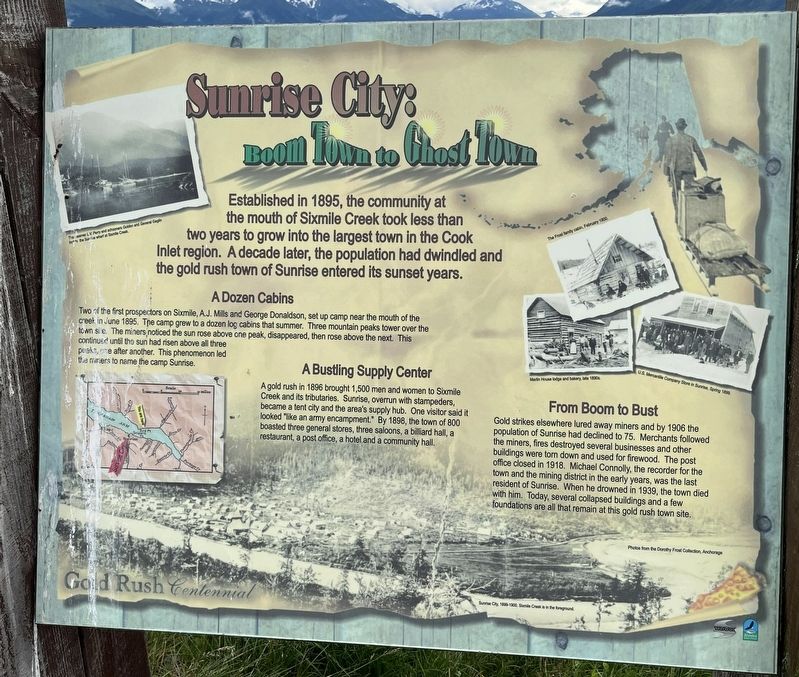
Sunrise City: Boom Town to Ghost Town
Established in 1895, the community at the mouth of Sixmile Creek took less than two years to grow into the largest town in the Cook Inlet region. A decade later, the population had dwindled and the gold rush town of Sunrise entered its sunset years.
A Dozen Cabins
Two of the first prospectors on Sixmile, A.J. Mills and George Donaldson, set up camp near the mouth of the creek in June 1895. The camp grew to a dozen log cabins that summer. Three mountain peaks tower over the town site. The miners noticed the sun rose over one peak, disappeared, then rose above the next. This continued until the sun had risen above all three peaks, one after another. This phenomenon led the miners to name the camp Sunrise.
A Bustling Supply Center
A gold rush in 1896 brought 1,500 men and women to Sixmile Creek and its tributaries. Sunrise, overrun with stampeders, became a tent city and the area’s supply hub. One visitor said it looked “like an army encampment.” By 1898, the town of 800 boasted three general stores, three saloons, a billiard hall, a restaurant, a post office, a hotel, and
this page online
From Boom to Bust
Gold strikes elsewhere lured away miners and by 1906 the population of Sunrise had declined to 75. Merchants followed the miners, fires destroyed several businesses and other buildings were torn down and used for firewood. The post office closed in 1918. Michael Connolly, the recorder for the town and the mining district in the early years, was the last resident of Sunrise. When he drowned in 1939, the town died with him. Today, several collapsed buildings and a few foundations are all that remain at this gold rush town site.
Topics. This historical marker is listed in these topic lists: Industry & Commerce • Settlements & Settlers.
Location. 60° 55.955′ N, 149° 19.346′ W. Marker is in Anchorage, Alaska. It is in Girdwood. It is on Alaska 1, on the right when traveling east. Seward Highway, just past Bird Point. Touch for map. Marker is in this post office area: Indian AK 99540, United States of America. Touch for directions.

Regionally, this marker is in the Alaska Railroad Corridor, in the Athabascan Region, in the Prince William Sound,
Photographed by Leslie Eudy, July 23, 2026
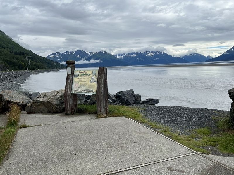
2. Sunrise City Marker Wide View
Other nearby markers. At least 3 other markers are within 12 miles of this marker, measured as the crow flies: Crow Creek Boys (here, next to this marker); Traveling Tikahtu (approx. 5½ miles away); Gold Discoveries Trigger Stampede (approx. 11.2 miles away).
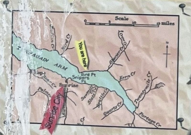
3. Sunrise City Marker Map Detail
Photographed by Leslie Eudy, July 23, 2026
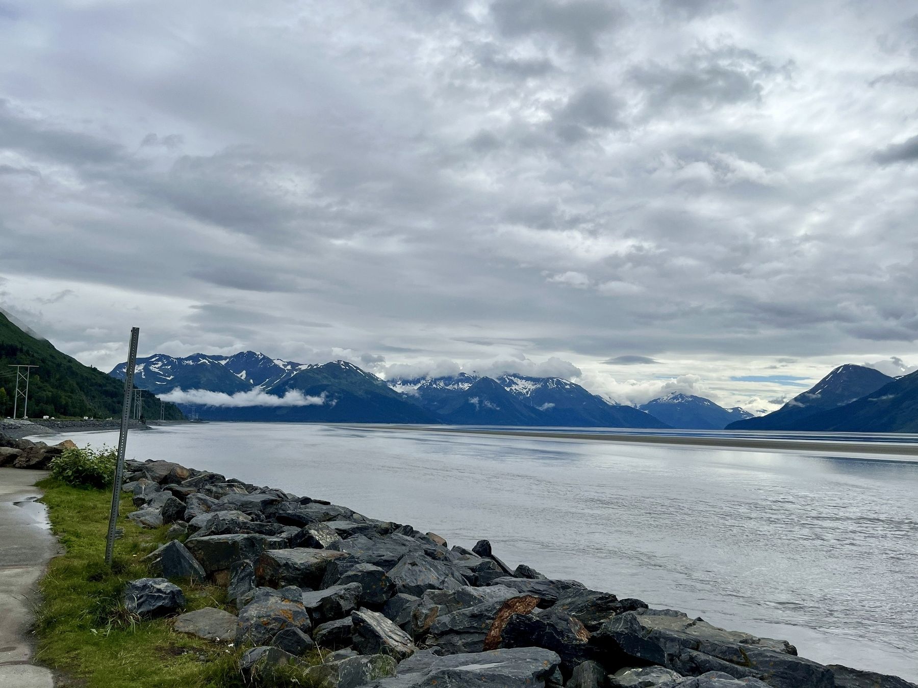
4. Sunrise City Marker View across the Water
Credits. This page was last revised on November 11, 2026. It was originally submitted on November 10, 2026, by Leslie Eudy of Golden, Colorado. This page has been viewed 7 times since then. Photos: 1, 2, 3, 4. submitted on November 10, 2026, by Leslie Eudy of Golden, Colorado. • Andrew Ruppenstein was the editor who published this page.
