
King's Lynn in Norfolk, England, United Kingdom — Northwestern Europe (the British Isles)
Greyfriars, King's Lynn
Photographed by Ray Gurganus, April 29, 2026
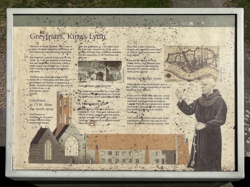
1. Greyfriars, King's Lynn Marker
The Greyfriars came to King's Lynn in the 1230s. By 1250 the building of the friary was well underway. In the early 1300s a water supply was brought by a conduit from a spring at North Runcton over a mile away.
The friary was closed by order of King Henry VIII in 1538 along with 800 other monasteries and friaries in England and Wales. Greyfriars Tower, which you can see in, front of you, is all that remains above-ground.
Greyfriars in 1538, from the north-west
The drawing of Greyfriars on this panel shows how the friary would have looked from the gatehouse. In 1325 there were 38 friars here. However by 1538, only a warden and nine friars remained, showing that the popularity of the Greyfriars had declined.
Greyfriars gatehouse
The friary was surrounded by a high wall. The entrance to the grounds was through this gatehouse, which survived until 1806.
A Franciscan friar
Nine Franciscan friars first arrived in England in 1224. They were followers of Francis of Assisi, who became
this page online
They took a vow of poverty, chastity and obedience and relied on gifts of food and money from local people.
Friars greatly valued learning. Unlike monks, they devoted their lives to preaching and teaching amongst the ordinary people in towns across Europe.
Medieval King's Lynn
Although this map shows King's Lynn in the 1660s, it gives a good idea of how the medieval town looked.
King's Lynn in the middle ages was a busy seaport and market town, and one of the wealthiest towns in medieval England. Cargoes from all over, Europe were landed at its quays. You can still see many of the fine buildings owned by its wealthy merchants.
Friars were attracted to towns with larger populations. Greyfriars was one of four friaries established in King's Lynn by 1300.
Erected by Borough Council of King's Lynn & West Norfolk.
Topics. This historical marker is listed in this topic list: Religion & Religious Structures. A significant historical year for this entry is 1230.
Location. 52° 45.092′ N, 0° 23.93′ E. Marker is in

Photographed by Ray Gurganus, April 29, 2026
2. Greyfriars Tower

Regionally, this marker is in East Anglia. Globally, it is on the Atlantic Ocean, in the North Atlantic Region, in Europe, in Atlantic Europe, on one of the British Isles, in the Western World, and in the Anglosphere. Historically, it finds itself in what was once the Roman Empire and also the Hanseatic League.
Other nearby markers. At least 8 other markers are within walking distance of this marker: Greyfriars Tower (a few steps from this marker); King's Lynn Greyfriars 1538 (within shouting distance of this marker); Tower Gardens (within shouting distance of this marker); Exploring Greyfriars Tower (about 90 meters away, measured in a direct line); St James' Chapel (about 120 meters away); St James' Park (about 120 meters away); All Saints Church (about 180 meters away); Ladybridge (about 180 meters away). Touch for a list and map of all markers in King's Lynn.
Credits. This page was last revised on November 12, 2026. It was originally submitted on November 12, 2026, by Ray Gurganus of Washington, District of Columbia. This page has been viewed 8 times since then. Photos: 1, 2. submitted on November 12, 2026, by Ray Gurganus of Washington, District of Columbia. • Andrew Ruppenstein was the editor who published this page.
Editor’s want-list for this marker. photo of the marker within its surroundings • Can you help?
