Saluda in Middlesex County, Virginia — The American South (Mid-Atlantic)
Christ Church
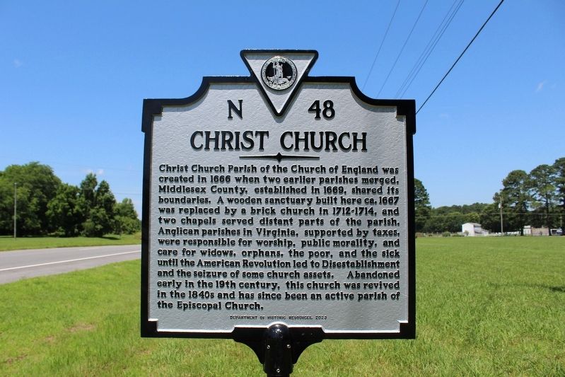
Photographed by Evan Dwyer, June 19, 2025
1. Christ Church Marker
Erected 2023 by Virginia Department of Historic Resources. (Marker Number N-48.)
Topics. This historical marker is listed in these topic lists: Charity & Public Work • Religion & Religious Structures • War, US Revolutionary. A significant historical year for this entry is 1666.
Location. 37° 36.498′ N, 76° 32.777′ W. Marker is in Saluda, Virginia, in Middlesex County. It is at the intersection of General Puller Highway (Virginia Route 33) and
this page online

Regionally, this marker is on the Middle Peninsula. It is also in the American South, specifically in the Upper South, in the Tidewater, in the Chesapeake Bay Region, and on the Eastern Seaboard. Globally, it is in the North Atlantic Region, North America, the Western Hemisphere, the Western World, and the Anglosphere. Historically, it finds itself in what was once the territory of the Mississippian Culture, one of the original Thirteen Colonies, one of the Confederate States of America, and the Antebellum South.
Other nearby markers. At least 8 other markers are within 3 miles of this marker, measured as the crow flies: Tomb of Puller (a few steps from this marker); St. Clare Walker High School (approx. 0.9 miles away); Scottish Factors Store (approx. 1.2 miles away); Rosegill (approx. 1.8 miles away); Urbanna Creek (approx. 2 miles away); Opiscopank (approx. 2 miles away); Bridge Over the Creek
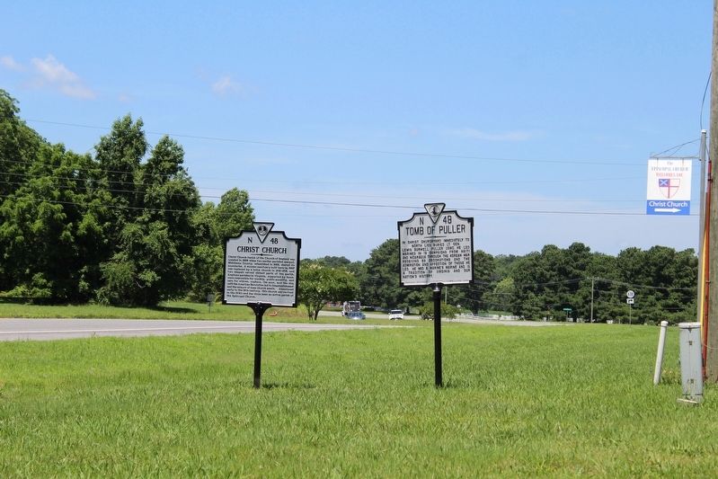
Photographed by Evan Dwyer, June 19, 2025
2. Christ Church Marker
On the north side of Route 33 with the adjacent marker for the tomb of Gen. Puller.
Another marker is no longer nearby. Christ Church (was approx. 1.2 miles away but has been replaced with another marker now near it).
Related marker. Click here for another marker that is related to this marker. Marker replaces the linked marker, which was 1.2 miles southwest.
Also see . . . Virginia Department of Historic Resources - Christ Church. Entry in the state historic register. Includes the church's nomination form for the National Register of Historic Places. (Submitted on November 12, 2026, by Evan Dwyer of Richmond, Virginia.)
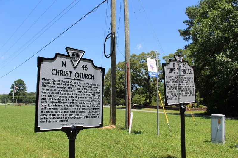
Photographed by Evan Dwyer, June 19, 2025
3. Christ Church Marker
The church itself is in the walled-in yard visible in the background.
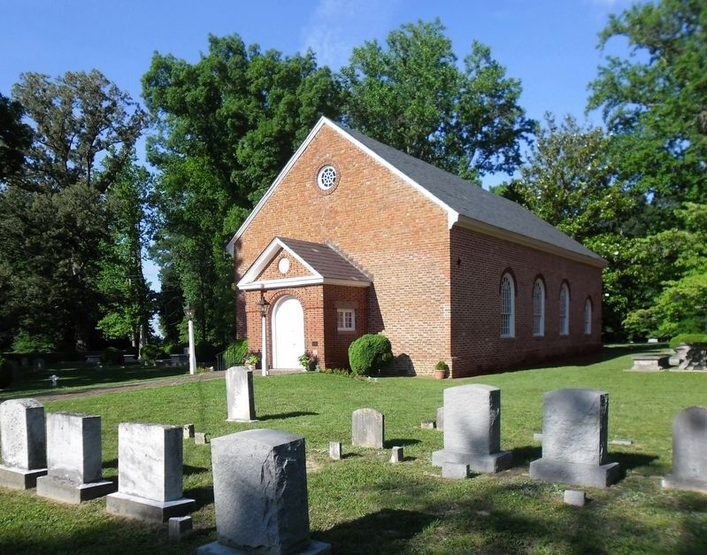
Photographed by Richard W. Dawson, June 16, 2012
4. Christ Church
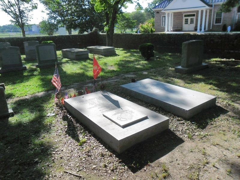
Photographed by Richard W. Dawson, June 16, 2012
5. Christ Church grave of Lt. General Lewis Burwell Puller, USMC.
Lt. General "Chesty" Puller's Grave at Christ Church Parish
Credits. This page was last revised on November 12, 2026. It was originally submitted on November 12, 2026, by Evan Dwyer of Richmond, Virginia. This page has been viewed 4 times since then. Photos: 1, 2, 3. submitted on November 12, 2026, by Evan Dwyer of Richmond, Virginia. 4, 5. submitted on June 17, 2012, by Richard W. Dawson of Woodford, Virginia.
