
Bremen-Mitte in Mitte, Germany — Central Europe
Kirche St. Martini
Historisches Hafenrevier Schlachte
⎯⎯⎯
St. Martini Church
The Historical Schlachte Harbour District
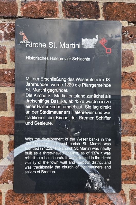
Photographed by James Hulse, October 10, 2026
1. Kirche St. Martini / St. Martini Church Marker

Topics and series. This historical marker is listed in this topic list: Religion & Religious Structures. In addition, it is included in the Bremen Red Key series list. A significant historical year for this entry is 1229.
Location. 53° 4.496′ N, 8° 48.237′ E. Marker is in Bremen, in Mitte. It is in Bremen-Mitte. It is on Erste Schlachtpforte just west of Martinistraße. Touch for map. Marker is at or near this postal address: Erste Schlachtpforte 4, Bremen 28195, Germany. Touch for directions.

Regionally, it is in Europe, the European Union, Atlantic Europe, Central Europe, the Schengen Area, Western Europe, and the Western World. Historically, it finds itself in what was once the Holy Roman Empire and also the former West Germany.
Other nearby markers. At least 8 other markers are within walking distance of this marker: Die Schlachte / The Schlachte (within shouting distance of this marker); Robinson-Crusoe-Haus / Robinson-Crusoe-House (about 90 meters away, measured in a direct line); Haus Atlantis / House Atlantis (about 90 meters away); Haus des Glockenspiels / Glockenspiel House (about 120 meters away); Condor Rekordflug / Condor Record Flight (about 120 meters away); Die Gluckhenne / The Broody Hen (about 120 meters away); Böttcherstrasse 6 (about 120 meters away); Roselius-Haus / Roselius House (about 120 meters away). Touch for a list and map of all markers in Bremen.
this page online
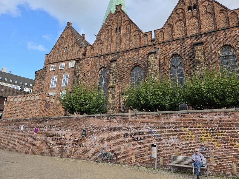
Photographed by James Hulse, October 10, 2026
2. Kirche St. Martini / St. Martini Church Marker
Credits. This page was last revised on November 15, 2026. It was originally submitted on November 14, 2026, by James Hulse of Medina, Texas. This page has been viewed 6 times since then. Photos: 1, 2. submitted on November 15, 2026, by James Hulse of Medina, Texas.
