
Junior College Neighborhood Association in Santa Rosa in Sonoma County, California — The American West (Pacific Coastal)
A Founding Father
| — | Santa Rosa Rural Cemetery | — |
Photographed by Andrew Ruppenstein, November 11, 2026
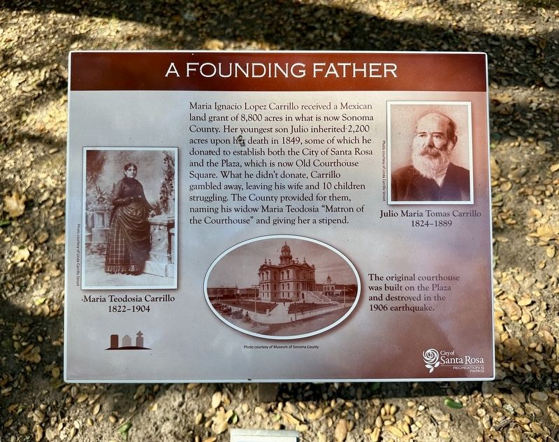
1. A Founding Father Marker
Maria Ignacio Lopez Carrillo received a Mexican land grant of 8,800 acres in what is now Sonoma County. Her youngest son Julio inherited 2,200 acres upon her death in 1849, some of which he donated to establish both the City of Santa Rosa and the Plaza, which is now Old Courthouse Square. What he didn't donate, Carrillo gambled away, leaving his wife and 10 children struggling. The County provided for them, naming his widow Maria Teodosia "Matron of the Courthouse" and giving her a stipend.
Erected by City of Santa Rosa Recreation and Parks.
Topics. This historical marker is listed in this topic list: Settlements & Settlers. A significant historical year for this entry is 1849.
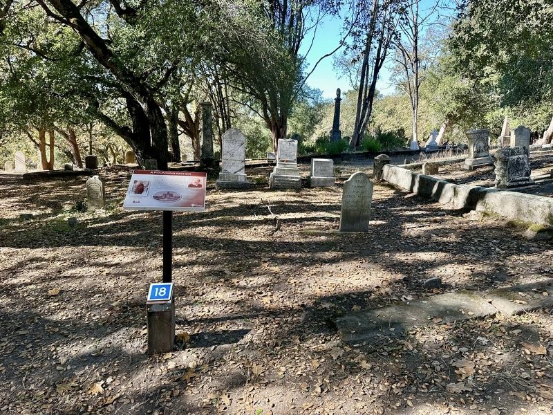
Location. 38° 27.295′ N, 122° 42.243′ W. Marker is in Santa Rosa, California, in Sonoma County. It is in the Junior College Neighborhood Association. It can be reached from Franklin Avenue, on the right when traveling north. This is stop No. 18 on the Santa Rosa Rural Cemetery self-guided tour. Touch for map. Marker is in this post office area: Santa Rosa CA 95404, United States of America. Touch for directions.

Regionally, this marker is
this page online
Other nearby markers. At least 8 other markers are within walking distance of this marker: Our First Woman Doctor (a few steps from this marker); A Legacy of Redwoods (a few steps from this marker); The McDonalds (within shouting distance of this marker); Santa Rosa Rural Cemetery (about 400 feet away, measured in a direct line); Santa Rosa 1906 Earthquake Monument (about 500 feet away); Santa Rosa Rural Cemetery Lost Veterans Memorial (about 500 feet away); From Slave to Rights Activist (about 700 feet away); The Soldiers’ Plots (about 700 feet away). Touch for a list and map of all markers in Santa Rosa.
Also see . . . Rancho Cabeza de Santa Rosa (Wikipedia). Overview:
Rancho Cabeza de Santa Rosa was an 8,885-acre (35.96(Submitted on November 14, 2026.)km2) Mexican land grant in present-day Sonoma County, California given in 1841 by Governor pro tem Manuel Jimeno to María Ygnacia López. The grant was along Santa Rosa Creek, and encompassed present-day Santa Rosa, California.Photographed by Andrew Ruppenstein, November 11, 20262. A Founding Father Marker and Carrillo family plot
Photographed by Andrew Ruppenstein, November 11, 2026
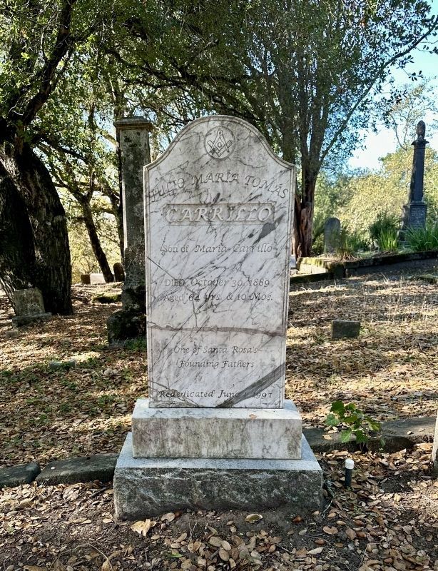
3. Gravestone of Julio Maria Tomas Carrillo (1824-1889)
Credits. This page was last revised on November 14, 2026. It was originally submitted on November 14, 2026, by Andrew Ruppenstein of Lamorinda, California. This page has been viewed 5 times since then. Photos: 1, 2, 3. submitted on November 14, 2026, by Andrew Ruppenstein of Lamorinda, California.
