
Varnville in Hampton County, South Carolina — The American South (South Atlantic)
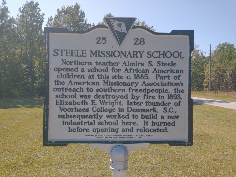
Steele Missionary School
⎯⎯⎯
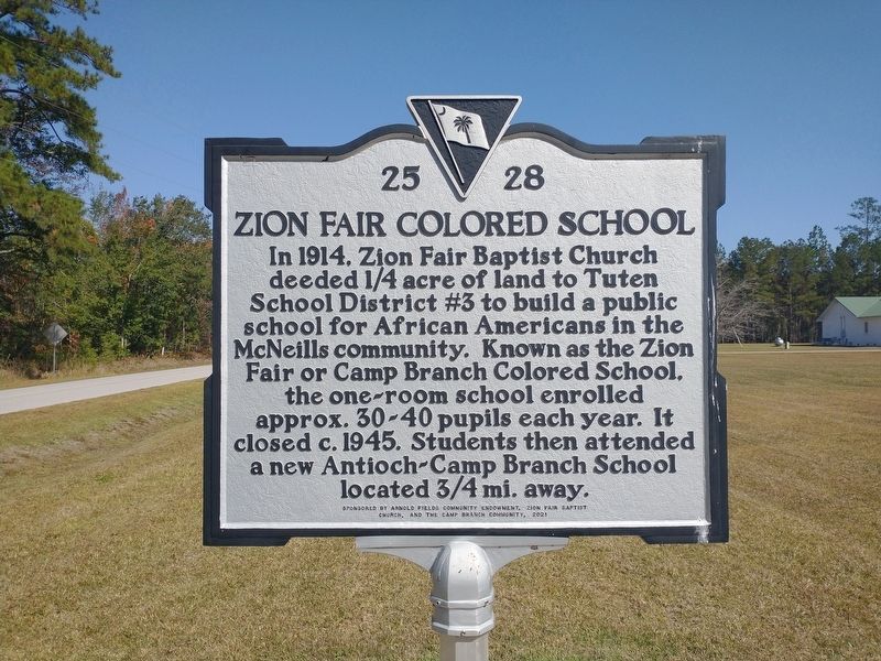
Zion Fair Colored School
Photographed by Tom Bosse, October 28, 2026
1. Steele Missionary School / Zion Fair Colored School Marker

Northern teacher Almira S. Steele opened a school for African American children at this site c.1885. Part of the American Missionary Association’s outreach to southern freedpeople, the school was destroyed by fire in 1893. Elizabeth E. Wright, later founder of Voorhees College in Denmark, S.C., subsequently worked to build a new industrial school here. It burned before opening and relocated.
(Back) In 1914, Zion Fair Baptist Church deeded ¼ acre of land to Tuten School District #3 to build a public school for African Americans in the McNeills community. Known as the Zion Fair or Camp Branch Colored School, the one-room school enrolled approx. 30-40 pupils each year. it closed c.1945. Students then attended a new Antioch-Camp Branch School located ¾ mi. away.
Erected 2021 by Arnold Fields Community Endowment, Zion Fair Baptist Church, and the Camp Branch Community. (Marker Number 25-28.)
Topics and series. This historical marker is listed in these topic lists: African Americans • Education. In addition, it is included in the South Carolina Historical Markers series list. A significant historical year for this entry is 1885.
Location. 32° 48.466′ N,
this page online

Regionally, this marker is in the Lowcountry, in the Ashepoo and Combahee and Edisto Basin. It is also in the American South, specifically in the Deep South, and on the Eastern Seaboard. Globally, it is in the North Atlantic Region, North America, the Western Hemisphere, the Western World, and the Anglosphere. Historically, it finds itself in what was once New Spain, the territory of the Mississippian Culture, one of the original Thirteen Colonies, one of the Confederate States of America, and the Antebellum South.
Other nearby markers. At least 8 other markers are within 7 miles of this marker, measured as the crow flies: Miles McSweeney Home Site (approx. 6.7 miles away); Bank of Hampton (approx. 6.7 miles away); Hampton County (approx. 6.7 miles away); Old Pocotaligo Road, March From The Sea (approx.
Photographed by Tom Bosse, October 28, 2026
2. Steele Missionary School / Zion Fair Colored School Marker
Photographed by Tom Bosse, October 28, 2026
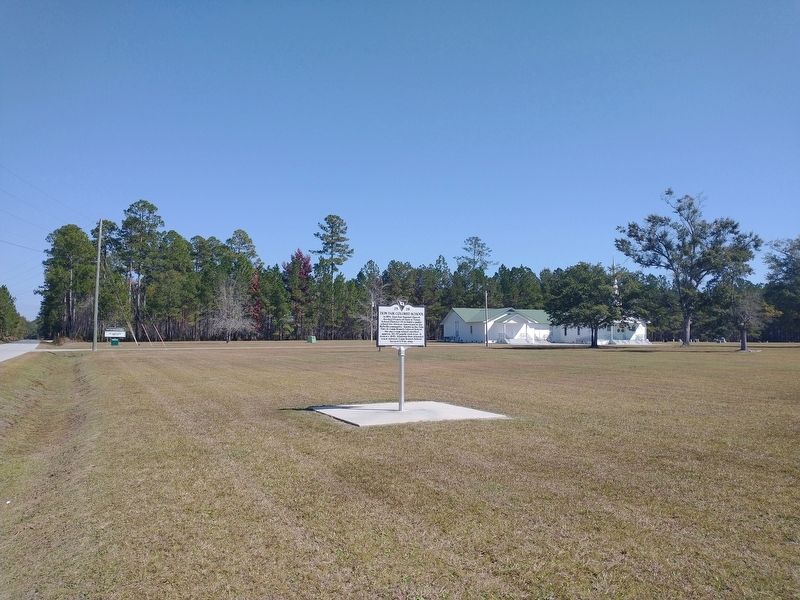
3. Steele Missionary School / Zion Fair Colored School Marker
Photographed by Tom Bosse, October 28, 2026
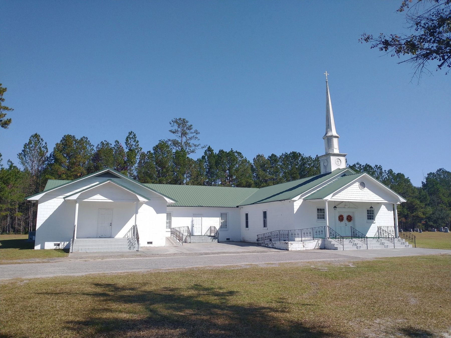
4. Zion Fair Baptist Church
Credits. This page was last revised on November 22, 2026. It was originally submitted on November 14, 2026, by Tom Bosse of Jefferson City, Tennessee. This page has been viewed 4 times since then. Photos: 1, 2, 3, 4. submitted on November 14, 2026, by Tom Bosse of Jefferson City, Tennessee. • Andrew Ruppenstein was the editor who published this page.
