
Andover in Ashtabula County, Ohio — The American Midwest (Great Lakes)
Andover Village
Photographed by Craig Doda, October 3, 2026
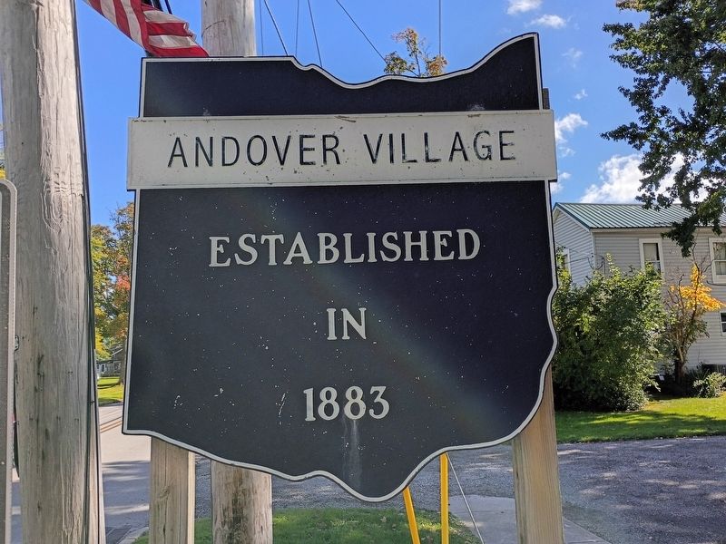
1. Andover Village Marker
Established in 1883
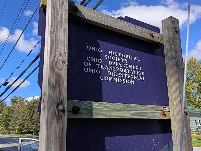
Erected by Ohio Historical Society; Ohio Department of Transportation; Ohio Bicentennial Commission.
Topics and series. This historical marker is listed in this topic list: Settlements & Settlers. In addition, it is included in the Ohio Historical Society / The Ohio History Connection series list. A significant historical year for this entry is 1883.
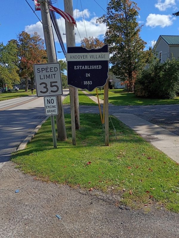
Location. 41° 36.424′ N, 80° 34.981′ W. Marker is in Andover, Ohio, in Ashtabula County. It is at the intersection of Grand Army of the Republic Highway (Ohio Route 6) and Chestnut Street, on the right when traveling east on Grand Army of the Republic Highway. Touch for map. Marker is at or near this postal address: 5547 Grand Army of the Republic Highway, Andover OH 44003, United States of America. Touch for directions.

Regionally, this marker is on the Lake Erie Shore and in the Western Reserve. It is also in the American Midwest. Globally, it is in North America, on the Great Lakes, in the Western Hemisphere, in the Western World, and in the Anglosphere. Historically, it finds itself in what was once the Haudenosaunee (Iroquois) Confederacy,
this page online
Other nearby markers. At least 8 other markers are within 11 miles of this marker, measured as the crow flies: Township of Andover Veterans Memorial (approx. 0.6 miles away); Pymatuning Wetlands / Pymatuning Reservoir (approx. 2.6 miles away); Cherry Valley Veterans Memorial (approx. 4.4 miles away); Upon This Tablet (approx. 6.6 miles away); Wayne Township Veterans Memorial (approx. 6.6 miles away); Old Grist Mill (approx. 6.7 miles away); In Memory of Those (approx. 10.3 miles away); Colebrook Veterans Memorial (approx. 10½ miles away). Touch for a list and map of all markers in Andover.
Additional commentary.
1. About the marker
While this marker features very slight information, it has been included in the database as part of the Ohio Historical Society series.
— Submitted November 16, 2026, by Devry Becker Jones of Washington, District of Columbia.
Photographed by Craig Doda, October 3, 2026
2. Andover Village Marker
Photographed by Craig Doda, October 3, 2026
3. Andover Village Marker
Credits. This page was last revised on November 16, 2026. It was originally submitted on November 15, 2026, by Craig Doda of Napoleon, Ohio. This page has been viewed 8 times since then. Photos: 1, 2, 3. submitted on November 15, 2026, by Craig Doda of Napoleon, Ohio. • Devry Becker Jones was the editor who published this page.
