
Seward in Kenai Peninsula Borough, Alaska — Northwest (North America)
Old Order to New Territory
Photographed by Leslie Eudy, July 23, 2026
1. Old Order to New Territory Marker
Old Order to New Territory
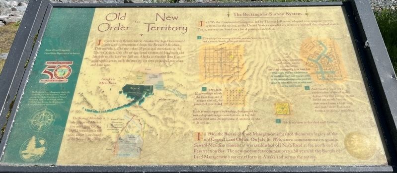
If you live in Southcentral Alaska, the legal location of your land is determined from the Seward Meridian. This meridian, like the other 35 principal meridians in the United States, link the navigational system of longitude and latitude to the land we live on. Alaska is divided into five geographic areas, each defined by its own principal meridian and base line.
The Seward Meridian is the largest of Alaska’s five meridians. Of the 18,655 townships in the state, about 1/3 are found in the Seward Meridian.
The Rectangular Survey System
In 1785, the Continental Congress, led by Thomas Jefferson, adopted a rectangular survey system for the nation, as the United States expanded its territory beyond the original states. Today, surveys are based on a local principal meridian.
1 Townships are surveyed from an east/west base line and a north/south principal meridian.
2 T2N.R3E (2 townships north of the base line and 3 ranges east of the principal meridian)
Each 6-mile-square township, designated by township and range coordinates, is further subdivided into 36 sections. A section is
this page online
3 Each section is divided still further.
4 And finally your own subdivision is specifically defined by the survey terms based on north/south distances from a base line and east/west distances from a principal meridian.
Plat of Unit 1 Village Green Subdivision Anchorage, Alaska Located within
SW ¼ SE ¼ Section 2, T12N, R4W, S.M.
(This means that this subdivision is 12 townships north and 4 ranges west of the Seward Meridian initial point OR about 72 miles north and 24 miles west of the initial point
In 1946, the Bureau of Land Management inherited the survey legacy of the old General Land Office. On July 16, 1996, a new commemorative granite Seward Meridian monument was established off Nash Road at the north end of Resurrection Bay. The new monument commemorates 50 years of the Bureau of Land Management’s survey efforts in Alaska and across the nation.
Erected by Bureau of Land Management.
Topics. This historical marker is listed in this topic list: Political Subdivisions. A significant historical date for this entry is July 16, 1996.
Location. 60° 6.284′ N, 149° 26.023′ W. Marker is in Seward, Alaska, in
Photographed by Leslie Eudy, July 23, 2026
2. Old Order to New Territory Marker Wide View
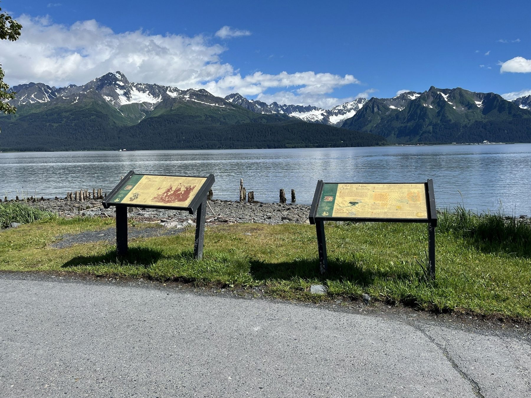
Marker on the right

Regionally, this marker is in the Alaska Railroad Corridor, in the Alutiiq (Sugpiaq) Region, in the Athabascan Region, in the Prince William Sound, and in Southcentral Alaska. It is also on the American Pacific Coast. Globally, it is in North America, on the Ring of Fire, on the Pacific Rim, in the Western Hemisphere, in the Western World, and in the Anglosphere. Historically, it finds itself in what was once the Russian Empire.
Other nearby markers. At least 8 other markers are within walking distance of this marker: On the Edge of the Frontier (here, next to this marker); Lee Poleske (approx. 0.2 miles away); Seward, Gateway to the Iditarod (approx. ¼ mile away); Alaska’s Gold Rush Era (approx. ¼ mile away); The Phoenix / The Iditarod Trail (approx. ¼ mile away); Founders Monument (approx. ¼ mile away); Fourth Avenue Wharf - A Bustling Terminal (approx. ¼ mile away); Resurrection Bay - 1964 Earthquake (approx. 0.3 miles away). Touch for a list and map of all markers in Seward.
Credits. This page was last revised on November 18, 2026. It was originally submitted on November 15, 2026, by Leslie Eudy of Golden, Colorado. This page has been viewed 3 times since then. Photos: 1, 2. submitted on November 15, 2026, by Leslie Eudy of Golden, Colorado. • Andrew Ruppenstein was the editor who published this page.
