
Seward in Kenai Peninsula Borough, Alaska — Northwest (North America)
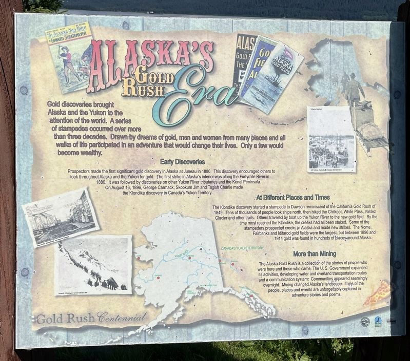
Alaska’s Gold Rush Era
Photographed by Leslie Eudy, July 23, 2026
1. Alaska’s Gold Rush Era Marker
Alaska’s Gold Rush Era
Gold discoveries brought Alaska and the Yukon to the attention of the world. A series of stampedes occurred over more than three decades. Drawn by dreams of gold, men and women from many places and all walks of life participated in an adventure that would change their lives. Only a few would become wealthy.
Early Discoveries
Prospectors made the first significant gold discovery in Alaska at Juneau in 1880. This discovery encouraged others to look throughout Alaska and the Yukon for gold. The first strike in Alaska’s interior was along the Fortymile River in 1886. It was followed by discoveries on other Yukon River tributaries and the Kenai Peninsula. On August 16, 1986, George Carmack, Skookum Jim and Tagish Charlie made the Klondike discovery in Canada’s Yukon Territory.
At Different Places and Times
The Klondike discovery started a stampede to Dawson reminiscent of the California Gold Rush of 1849. Lacier, and other trails. Tens of thousands of people took ships north, then hiked the Chilkoot, White Pass, Valdez Glacier and other trails. Others traveled by boat up the Yukon River to the
this page online
More Than Mining
The Alaksa Gold Rush is a collection of the stories of people who were here and those who came. The U.S. Government expanded its activities, developing water and overland transportation routes and a communication system. Communities appeared seemingly overnight. Mining changed Alaska’s landscape. Tales of the people, places, and events are unforgettably captured in adventure stories and poems.
Topics. This historical marker is listed in these topic lists: Industry & Commerce • Natural Resources • Settlements & Settlers.
Location. 60° 6.096′ N, 149° 26.122′ W. Marker is in Seward, Alaska, in Kenai Peninsula Borough. It can be reached from Ballaine Boulevard. On Sea Otter Trail South of Branson Pavilion. Touch for map. Marker is in this post office area: Seward
Photographed by Leslie Eudy, July 23, 2026
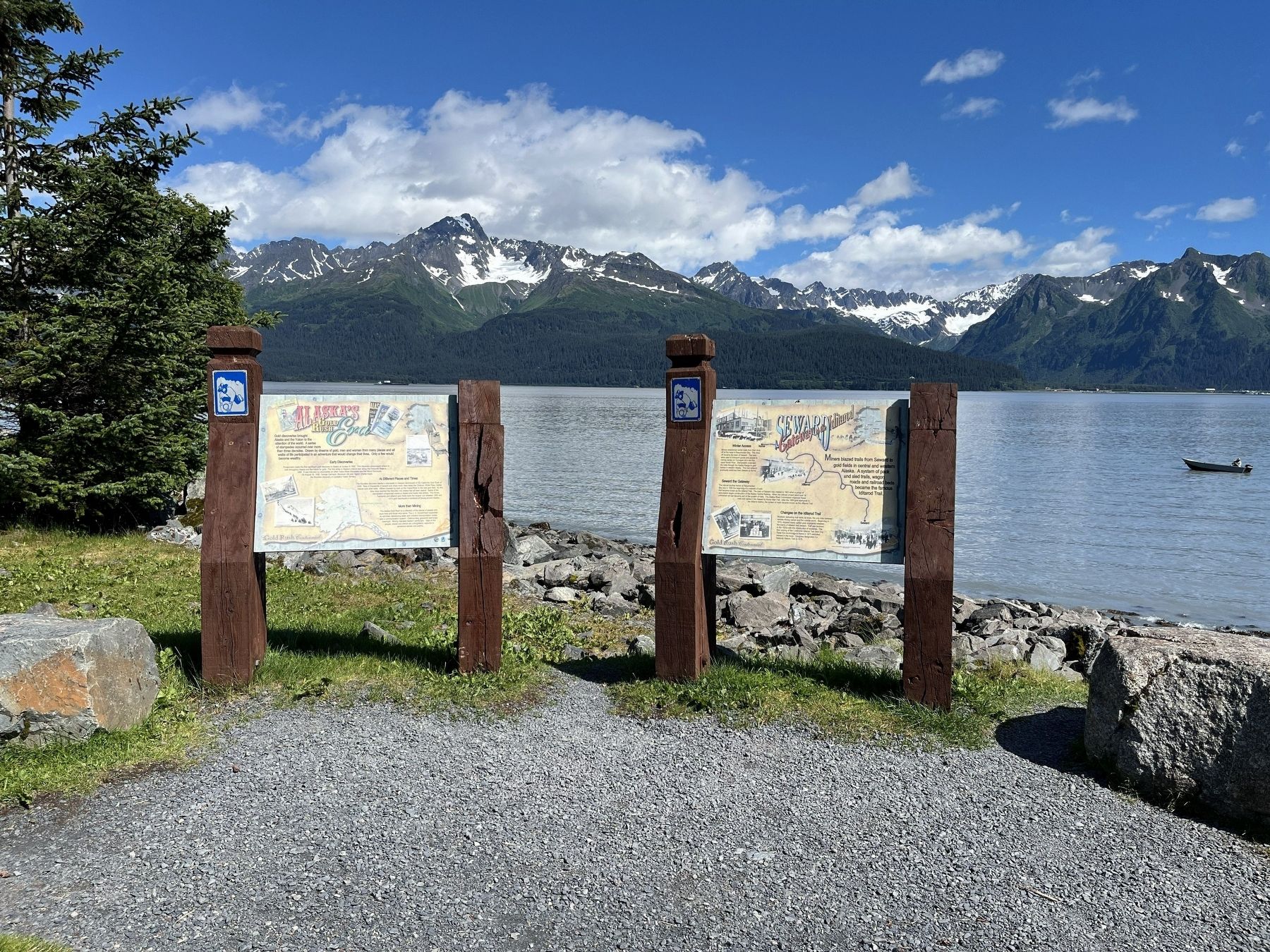
2. Alaska’s Gold Rush Era Marker Wide View
Marker on the left

Regionally, this marker is in the Alaska Railroad Corridor, in the Alutiiq (Sugpiaq) Region, in the Athabascan Region, in the Prince William Sound, and in Southcentral Alaska. It is also on the American Pacific Coast. Globally, it is in North America, on the Ring of Fire, on the Pacific Rim, in the Western Hemisphere, in the Western World, and in the Anglosphere. Historically, it finds itself in what was once the Russian Empire.
Other nearby markers. At least 8 other markers are within walking distance of this marker: Seward, Gateway to the Iditarod (here, next to this marker); The Phoenix / The Iditarod Trail (within shouting distance of this marker); Founders Monument (within shouting distance of this marker); Fourth Avenue Wharf - A Bustling Terminal (within shouting distance of this marker); Lee Poleske (within shouting distance of this marker); Old Order to New Territory (approx. ¼ mile away); On the Edge of the Frontier (approx. ¼ mile away); Resurrection Bay - 1964 Earthquake (approx. half a mile away). Touch for a list and map of all markers in Seward.
More about this marker. This marker has the same information as another marker south of Fairbanks along the Tanana River.
Credits. This page was last revised on November 18, 2026. It was originally submitted on November 15, 2026, by Leslie Eudy of Golden, Colorado. This page has been viewed 4 times since then. Photos: 1, 2. submitted on November 15, 2026, by Leslie Eudy of Golden, Colorado. • Andrew Ruppenstein was the editor who published this page.
