
Hamburg-Mitte in Hamburg-Mitte, Germany — Central Europe
Flakturm • Luftschutzbunke • Machtsymbol
⎯⎯⎯
Flak Tower • Air Raid Shelter • Symbol of Power
Photographed by James Hulse
1. Flakturm • Luftschutzbunke • Machtsymbol / Flak Tower • Air Raid Shelter • Symbol of Power Marker

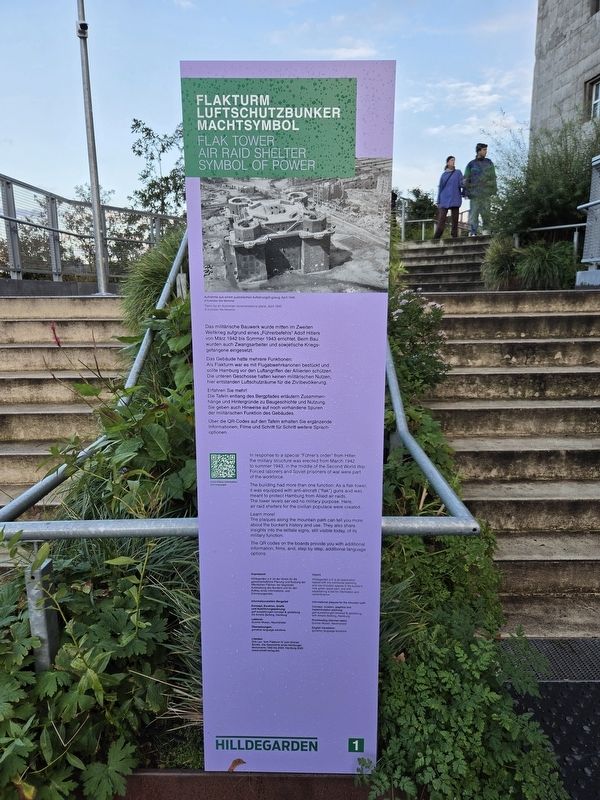
Das Gebäude hatte mehrere Funktionen: Als Flakturm war es mit Flugabwehrkanonen bestückt und sollte Hamburg vor den Luftangriffen der Alliierten schützen. Die unteren Geschosse hatten keinen militärischen Nutzen, hier entstanden Luftschutzräume für die Zivilbevölkerung.
Erfahren Sie mehr! Die Tafeln entlang des Bergpfades erläutern Zusammenhänge und Hintergründe zu Baugeschichte und Nutzung. Sie geben auch Hinweise auf noch vorhandene Spuren der militärischen Funktion des Gebäudes.
Über die QR-Codes auf den Tafeln erhalten Sie ergänzende Informationen, Filme und Schritt für Schritt weitere Sprachoptionen.
Impressum
Hilldegarden e.V. ist der Verein für die gemeinschaftliche Planung und Nutzung der öffentlichen Flächen der begrünten Aufstockung des Bunkers und für den Aufbau eines Informations- und Erinnerungsortes.
Informationstafeln Bergpfad
Konzept, Kuration, Grafik und Ausführungsplanung: gwf-ausstellungen konzept & gestaltung mit Amelie Berking, Hamburg
Lektorat: Gunnar Musan, Neumünster
Übersetzungen: gonative language solutions
Literatur
Dirk Lau: Vom Flakturm IV zum Grünen Bunker. Die Geschichte eines Hamburger Monuments 1942 bis 2024, Hamburg 2025 (www.schaff-verlag.de)
Aufnahme aus einem australischen Aufklärungsflugzeug, April 1945
© Australian War Memorial
this page online
The building had more than one function: As a flak tower, it was equipped with anti-aircraft (“flak”) guns and was meant to protect Hamburg from Allied air raids. The lower levels served no military purpose. Here, air raid shelters for the civilian populace were created.
Learn more! The plaques along the mountain path can tell you more about the bunker’s history and use. They also share insights into the telltale signs, still visible today, of its military function.
The QR codes on the boards provide you with additional information, films, and, step by step, additional language options.
Imprint
Hilldegarden e.V. is an association tasked with the communal planning and use of public spaces in the bunker’s new green upper part, and with establishing a site for information and remembrance.
Informational plaques for the mountain path
Concept, curation, graphics and implementation planning: gwf-ausstellungen konzept & gestaltung with Amelie Berking, Hamburg
Proofreading (German texts): Gunnar Musan, Neumünster
English translation: gonative language solutions
Taken by an Australian reconnaissance plane, April 1945
© Australian War Memorial
Erected by Hilldegarden
Photographed by James Hulse, October 10, 2026
2. Flakturm • Luftschutzbunke • Machtsymbol / Flak Tower • Air Raid Shelter • Symbol of Power Marker
Topics. This historical marker is listed in these topic lists: Forts and Castles • War, World II. A significant historical month for this entry is March 1942.
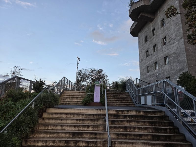
Location. 53° 33.404′ N, 9° 58.217′ E. Marker is in Hamburg, in Hamburg-Mitte. It is in Hamburg-Mitte. It is on Feldstraße west of Heiligengeistfeld, on the left when traveling west. The markers are placed along the Hamburg Bunker’s exterior staircase. Touch for map. Marker is at or near this postal address: Feldstraße 66, Hamburg 20357, Germany. Touch for directions.

Regionally, it is in Europe, the European Union, Atlantic Europe, Central Europe, the Schengen Area, Western Europe, and the Western World. Historically, it finds itself in what was once the Holy Roman Empire, the Hanseatic League, and the former West Germany.
Other nearby markers. At least 8 other markers are within walking distance of this marker: Rüstungsproduktion / Wartime Manufacturing (here, next to this marker); Ersatzleitstand / Backup Control Center (here, next to this marker); Munitionskammer / Munitions Depot (here, next to this marker); Kriegsdienst / Military Service (a
Photographed by James Hulse, October 10, 2026
3. Hamburg Bunker
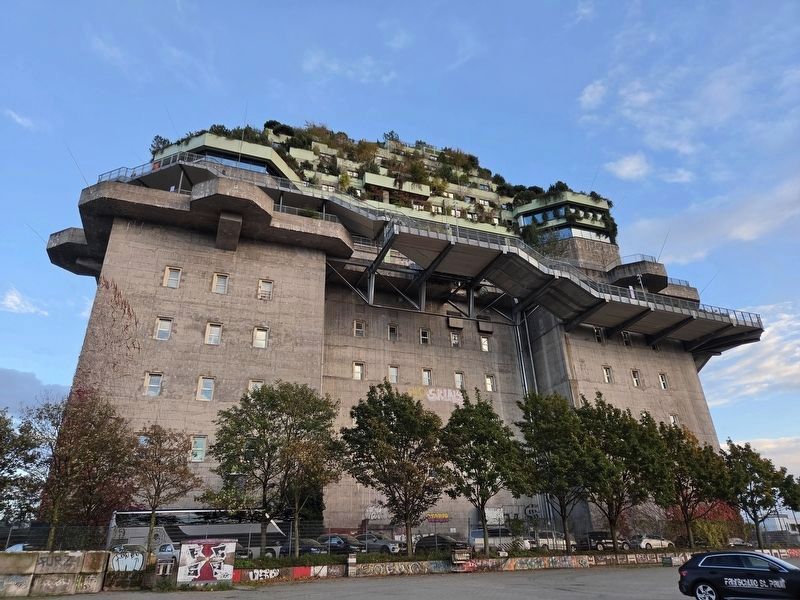
The view of the stairs along the upper sections of the bunker.
More about this marker. The former flak tower is now the Hamburg Bunker, a complex with a hotel, restaurants, music and event spaces, and a rooftop garden. An exterior walkway leads upward past historical panels explaining its wartime history.
Credits. This page was last revised on November 17, 2026. It was originally submitted on November 15, 2026, by James Hulse of Medina, Texas. This page has been viewed 5 times since then. Photos: 1, 2, 3. submitted on November 16, 2026, by James Hulse of Medina, Texas.
