
Hamburg-Mitte in Hamburg-Mitte, Germany — Central Europe
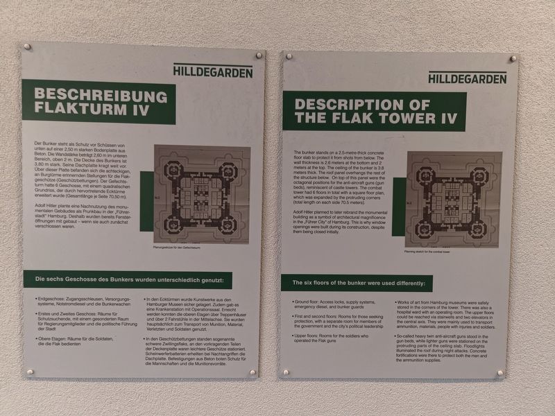
Beschreibung Flakturm IV
⎯⎯⎯
Description of the Flak Tower IV
Photographed by James Hulse, October 10, 2026
1. Beschreibung Flakturm IV / Description of the Flak Tower IV Marker

Adolf Hitler plante eine Nachnutzung des monumentalen Gebäudes als Prunkbau in der „Führerstadt“ Hamburg. Deshalb wurden bereits Fensteröffnungen mit gebaut – wenn sie auch zunächst verschlossen waren.
Die sechs Geschosse des Bunkers wurden unterschiedlich genutzt:
• Erdgeschoss: Zugangsschleusen, Versorgungssysteme, Notstromdiesel und die Bunkerwachen
• Erstes und Zweites Geschoss: Räume für Schutzsuchende, mit einem gesonderten Raum für Regierungsmitglieder und die politische Führung der Stadt
• Obere Etagen: Räume für die Soldaten, die die Flak bedienten
• In den Ecktürmen wurde Kunstwerke aus
this page online
• In den Geschützbettungen standen sogenannte schwere Zwillingsflaks, an den vorkragenden Teilen der Deckenplatte waren leichtere Geschütze stationiert. Scheinwerferbatterien erhellten bei Nachtangriffen die Dachplatte. Befestigungen aus Beton boten Schutz für die Mannschaften und die Munitionsvorräte.
Planungsskizze für den Gefechtsturm
Photographed by James Hulse, October 10, 2026
2. Beschreibung Flakturm IV / Description of the Flak Tower IV Marker
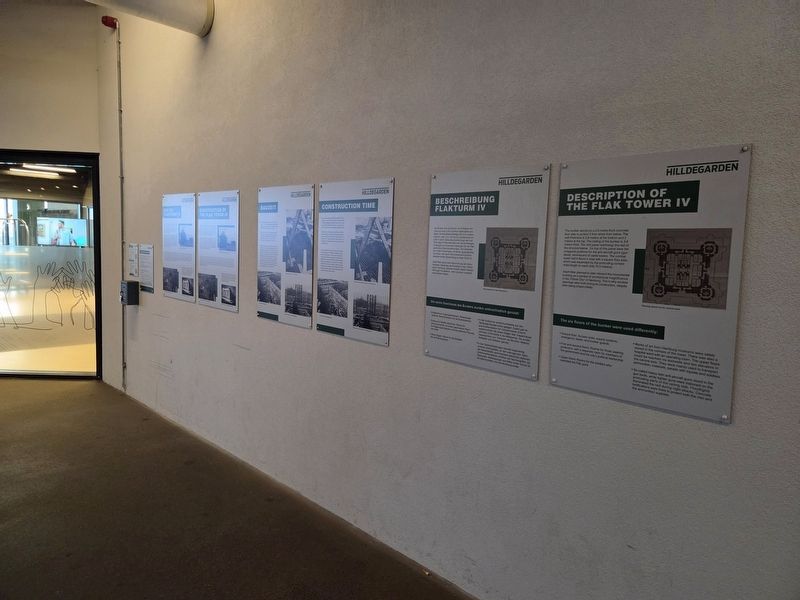
The third double marker from the left side.
Adolf Hitler planned to later rebrand the monumental building as a symbol of architectural magnificence in the „Führer City“ of Hamburg. This is why window openings were built during its construction, despite them being closed initially.
The six floors of the bunker were used differently:
• Ground floor: Access locks, supply systems, emergency diesel, and bunker guards
• First and second floors: Rooms for those seeking protection, with a separate room for members of the government and the city’s political leadership
• Upper floors: Rooms for the soldiers who operated the Flak guns
• Works of art from Hamburg museums were safely stored in the corners of the tower. There was also a hospital ward with an operating room. The upper floors could be reached via stairwells and two elevators in the central axis. They were mainly used to transport ammunition, materials, people with injuries and soldiers.
• So-called heavy twin anti-aircraft guns stood in the gun beds, while lighter guns were stationed on the protruding parts of the ceiling slab. Floodlights illuminated the roof during night attacks. Concrete
Photographed by James Hulse, October 10, 2026
3. Beschreibung Flakturm IV / Description of the Flak Tower IV Marker
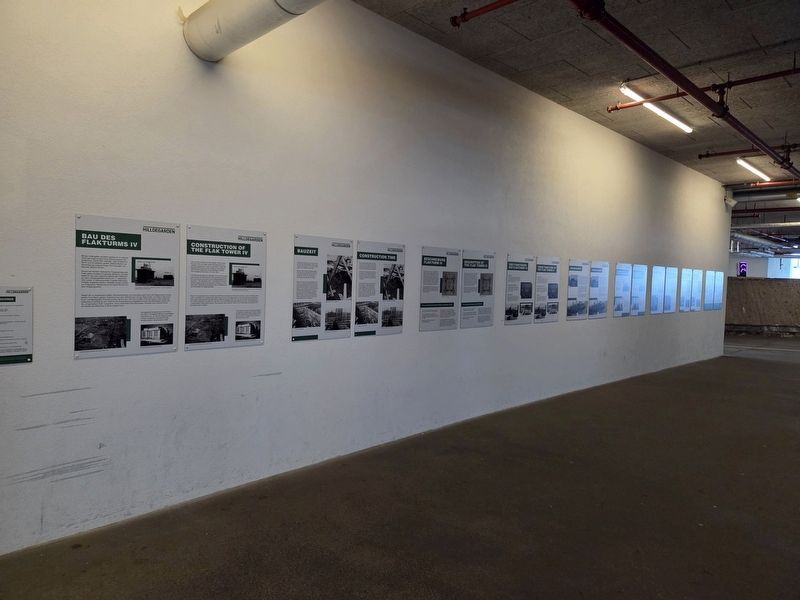
The third double marker from the left side.
Planning sketch for the combat tower
Erected by Hilldegarden e.V.
Topics. This historical marker is listed in these topic lists: Forts and Castles • War, World II.
Location. 53° 33.377′ N, 9° 58.2′ E. Marker is in Hamburg, in Hamburg-Mitte. It is in Hamburg-Mitte. It can be reached from Feldstraße just west of Heiligengeistfeld, on the left when traveling west. Touch for map. Marker is at or near this postal address: Feldstraße 66, Hamburg 20357, Germany. Touch for directions.

Regionally, it is in Europe, the European Union, Atlantic Europe, Central Europe, the Schengen Area, Western Europe, and the Western World. Historically, it finds itself in what was once the Holy Roman Empire, the Hanseatic League, and the former West Germany.
Other nearby markers. At least 8 other markers are within walking distance of this marker: Bau des Flakturms IV / Construction of the Flak Tower IV (here, next to this marker); Zwangsarbeit / Forced Labor (a few steps from this marker); Drei Funktionen des Flakturms IV / Three Functions of the Flak Tower IV
Photographed by James Hulse, October 10, 2026
4. Beschreibung Flakturm IV / Description of the Flak Tower IV Marker
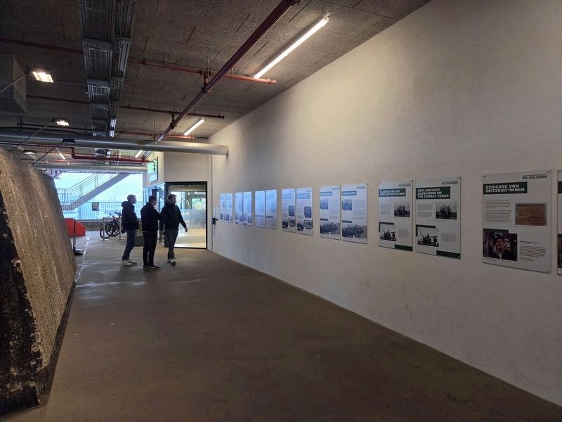
The marker stands beside a wall on the open-air rooftop terrace of the Hamburg Bunker. The terrace sits atop the original concrete bunker, below the hotel added during the building’s redevelopment.
More about this marker. The former flak tower is now the Hamburg Bunker, a complex with a hotel, restaurants, music and event spaces, and a rooftop garden. An exterior walkway leads upward past historical panels explaining its wartime history.
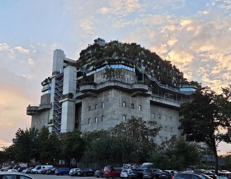
Photographed by James Hulse, October 10, 2026
5. Flak Tower
A street-level view of the former flak tower, with the hotel complex built above it.
Credits. This page was last revised on November 17, 2026. It was originally submitted on November 16, 2026, by James Hulse of Medina, Texas. This page has been viewed 4 times since then. Photos: 1, 2, 3, 4, 5. submitted on November 17, 2026, by James Hulse of Medina, Texas.
