
Hamburg-Mitte in Hamburg-Mitte, Germany — Central Europe
Bombenschäden
⎯⎯⎯
Bombing Damage
Photographed by James Hulse
1. Bombenschäden / Bombing Damage Marker

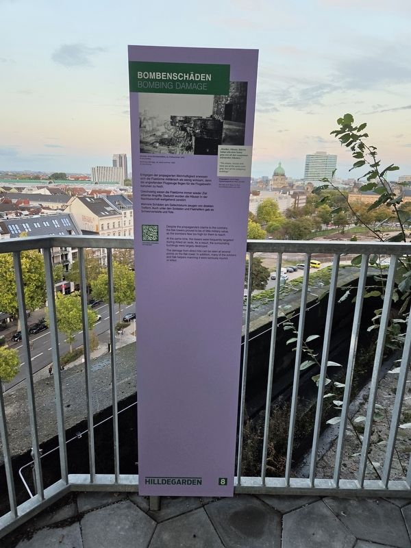
Gleichzeitig waren die Flaktürme immer wieder Ziel alliierter Angriffe. Dadurch wurden die Häuser in der Nachbarschaft weitgehend zerstört.
Mehrere Schäden am Gefechtsturm zeugen von direkten Treffern. Auch unter den Soldaten und Flakhelfern gab es Schwerverletzte und Tote.
„Straßen, Häuser, Bäume haben alle eine Farbe: grau von all den zusammenstürzenden Häusern.“
Kriegstagebuch von W. Riege, Feuerschutzpolizei St. Pauli, Juli 1943
Schäden eines Bombentreffers, ca. Frühsommer 1943
© Jörg Schilling
At the same time, the towers were frequently targeted during Allied air raids. As a result, the surrounding buildings were largely destroyed.
The damage from direct hits can be seen at several points on the flak tower. In addition, many of the soldiers and flak helpers manning
this page online
“The streets, houses and trees are all the same color: gray, from all the collapsing buildings.”
War diary of W. Riege, St. Pauli fire protection police, July 1943
Bombing damage, ca. early summer 1943
© Jörg Schilling
Erected by Hilldegarden e.V. (Marker Number 8.)
Topics. This historical marker is listed in these topic lists: Forts and Castles • War, World II. A significant historical year for this entry is 1943.
Location. 53° 33.401′ N, 9° 58.217′ E. Marker is in Hamburg, in Hamburg-Mitte. It is in Hamburg-Mitte. It can be reached from Feldstraße just west of Heiligengeistfeld, on the left when traveling west. The markers are placed along the Hamburg Bunker’s exterior staircase. Touch for map. Marker is at or near this postal address: Feldstraße 66, Hamburg 20357, Germany. Touch for directions.

Regionally, it is in Europe, the European Union, Atlantic Europe, Central Europe, the Schengen Area, Western Europe, and the Western World. Historically, it finds itself in what was once the Holy Roman Empire, the Hanseatic League, and the former West Germany.
Other nearby markers. At
Photographed by James Hulse, October 10, 2026
2. Bombenschäden / Bombing Damage Marker
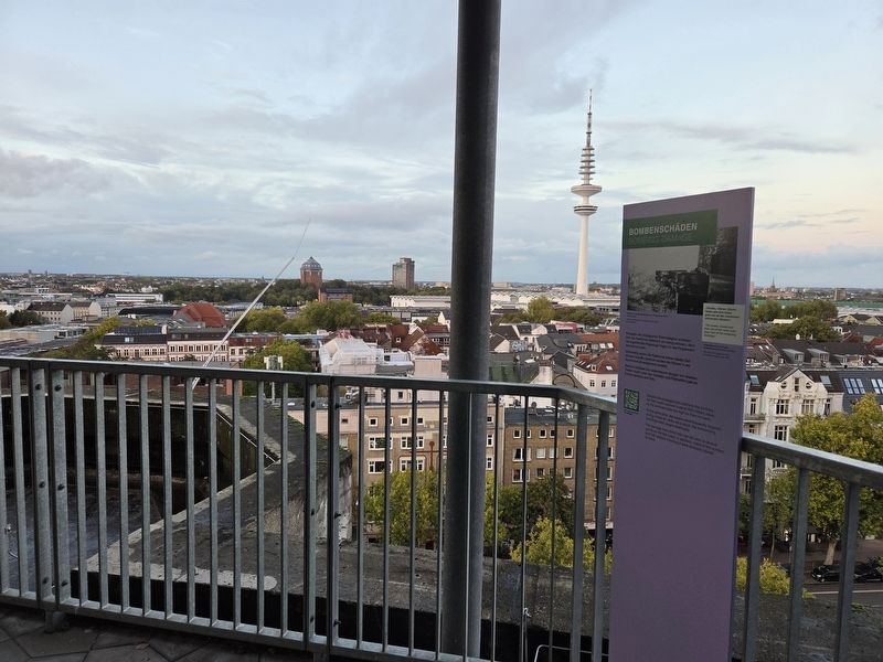
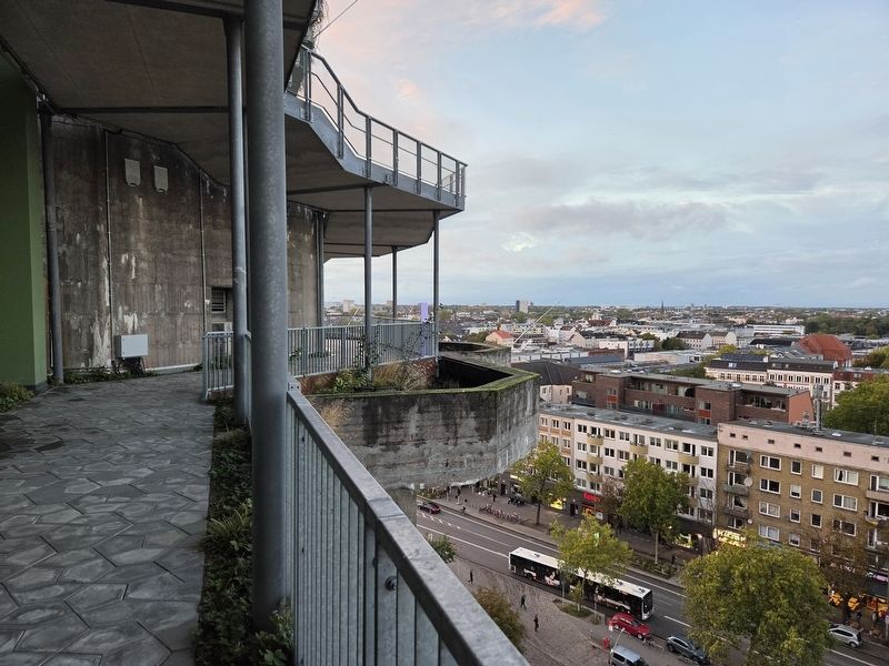
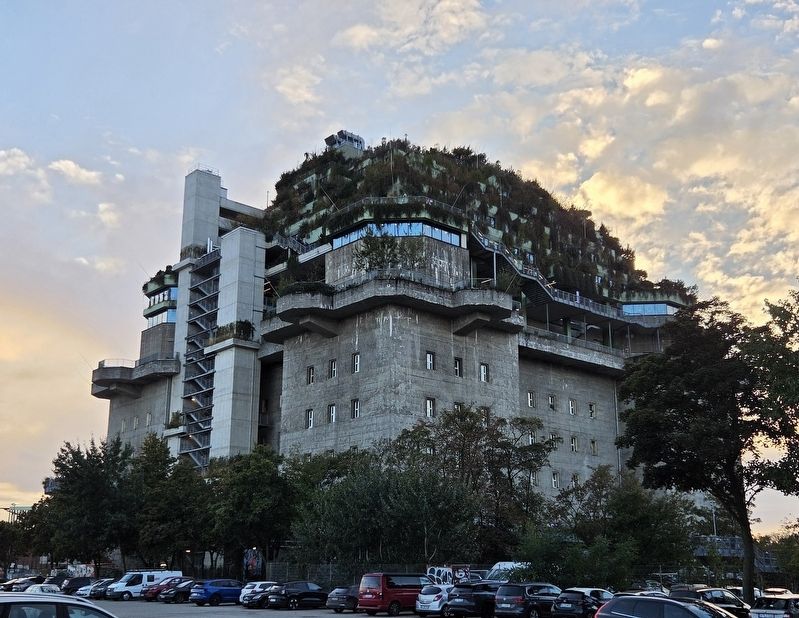
More about this marker. The former flak tower is now the Hamburg Bunker, a complex with a hotel, restaurants, music and event spaces, and a rooftop garden. An exterior walkway leads upward past historical panels explaining its wartime history.
Photographed by James Hulse, October 10, 2026
3. Bombenschäden / Bombing Damage Marker
Photographed by James Hulse, October 10, 2026
4. Bombenschäden / Bombing Damage Marker
A street-level view of the former flak tower, with the hotel complex built above it.
Credits. This page was last revised on November 17, 2026. It was originally submitted on November 16, 2026, by James Hulse of Medina, Texas. This page has been viewed 3 times since then. Photos: 1, 2, 3, 4. submitted on November 17, 2026, by James Hulse of Medina, Texas.
