
Ninety Six in Greenwood County, South Carolina — The American South (South Atlantic)
"Star Fort Under Arms"
| — | Ninety Six National Historic Site | — |
Photographed by Tom Bosse, October 29, 2026
1. "Star Fort Under Arms" Marker
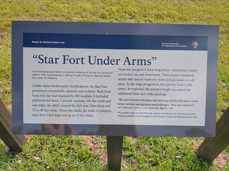
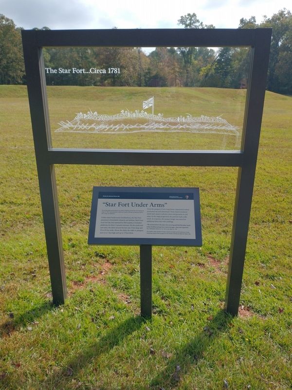
 The etched glass panel above is an artistic rendering of the Star Fort during the siege of 1781. Commissioned in 202 by Friends of Ninety Six National Historic Site. Artist, Eric Williams.
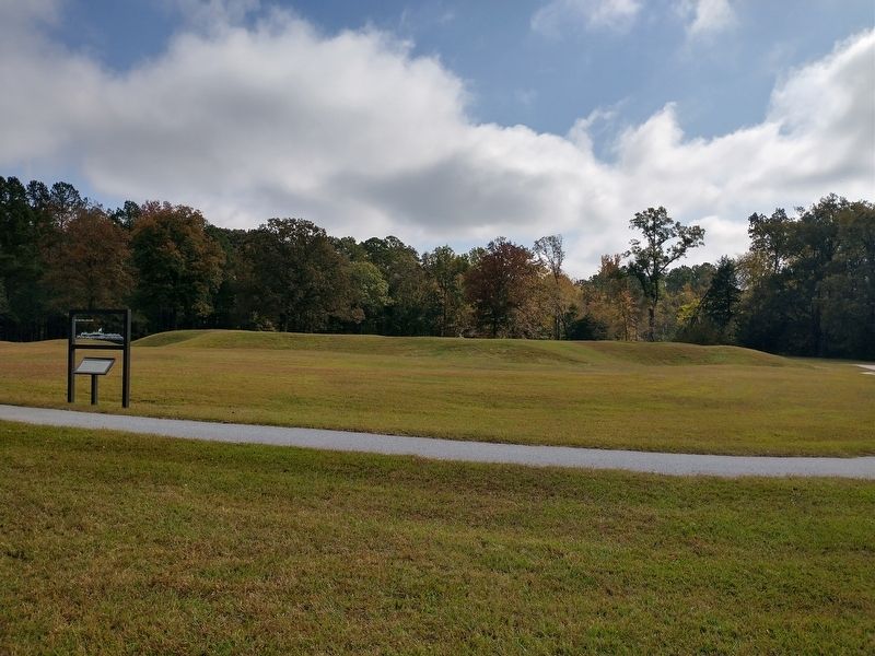
Unlike many backcountry fortifications, the Star Fort presented a formidable obstacle and defense. Built from local red clay and manned by 200 loyalists, it included platforms for three 3-pound cannons. On the north and east sides, the ditch around the fort was 5 feet deep and 35 to 45 feet wide. Above the ditch, the walls or parapets were 6 to 7 feet high and up to 15 feet thick.
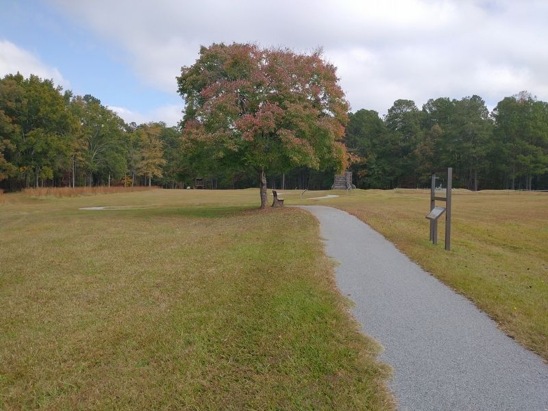
From the parapets 9-foot-long fraises (sharpened stakes) protruded out and downward. These fraises hindered attack and caused explosive shots and grenades to roll away. As the siege progressed, the patriots built a rifle tower. In response, the parapet height was raised an additional three feet with sandbags.
"We arrive before this place this morning and find this place much better fortified and garrison much stronger...than was expected." Gen. Nathanael Greene to Col. Henry Lee, May 22, 1781
This exhibit made possible through a grant provided by the Americana Corner Preserving America Grant program to the Friends of Ninety Six National Historic Site.
Erected by National
this page online
Topics. This historical marker is listed in these topic lists: Forts and Castles • War, US Revolutionary. A significant historical date for this entry is May 22, 1781.
Location. 34° 8.783′ N, 82° 1.142′ W. Marker is in Ninety Six, South Carolina, in Greenwood County. It can be reached from South Carolina Route 248 north of Louden Road, on the left when traveling south. Marker is located along the Star Fort Trail east of the parking lot. Touch for map. Marker is at or near this postal address: 1103 SC-248, Ninety Six SC 29666, United States of America. Touch for directions.

Regionally, this marker is in Upstate. It is also in the American South and specifically in the Deep South. Globally, it is in North America, the Western Hemisphere, the Western World, and the Anglosphere. Historically, it finds itself in what was once the territory of the Mississippian Culture, one of the original Thirteen Colonies, one of the Confederate States of America, and the Antebellum South.
Other nearby markers. At least 8 other markers are within walking distance of this marker: The Mine (a few steps
Photographed by Tom Bosse, October 29, 2026
2. "Star Fort Under Arms" Marker
Also see . . . Ninety Six National Historic Site. National Park Service (Submitted on November 17, 2026.)
Photographed by Tom Bosse, October 29, 2026
3. "Star Fort Under Arms" Marker
Photographed by Tom Bosse, October 29, 2026
4. "Star Fort Under Arms" Marker
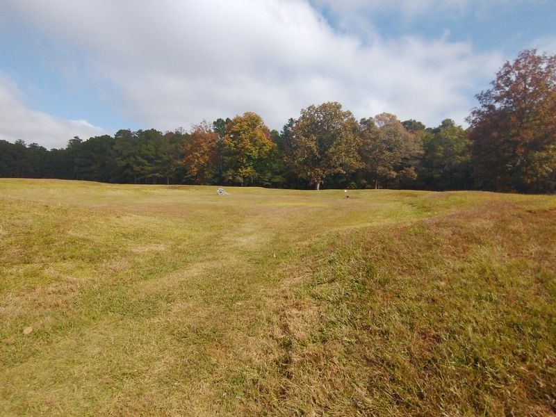
Photographed by Tom Bosse, October 29, 2026
5. Remains of Star Fort
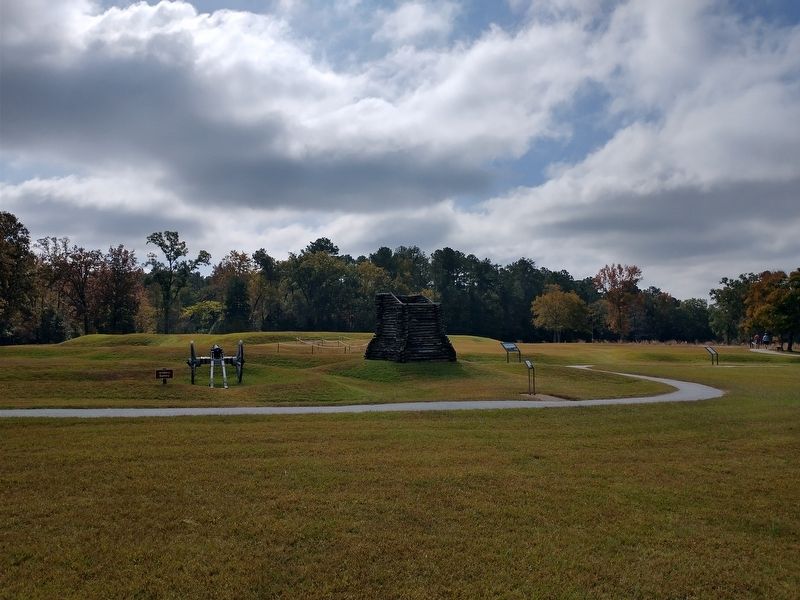
Photographed by Tom Bosse, October 29, 2026
6. Recreated Rifle Tower Facing Star Fort
Credits. This page was last revised on November 17, 2026. It was originally submitted on November 16, 2026, by Tom Bosse of Jefferson City, Tennessee. This page has been viewed 7 times since then. Photos: 1, 2, 3, 4, 5, 6. submitted on November 16, 2026, by Tom Bosse of Jefferson City, Tennessee. • Bernard Fisher was the editor who published this page.
