
Beverly Hills in Los Angeles County, California — The American West (Pacific Coastal)
Dolores Drive-In
Beverly Hills
| — | Golden Shield Commemorative Plaque | — |
Photographed by Craig Baker, November 16, 2026
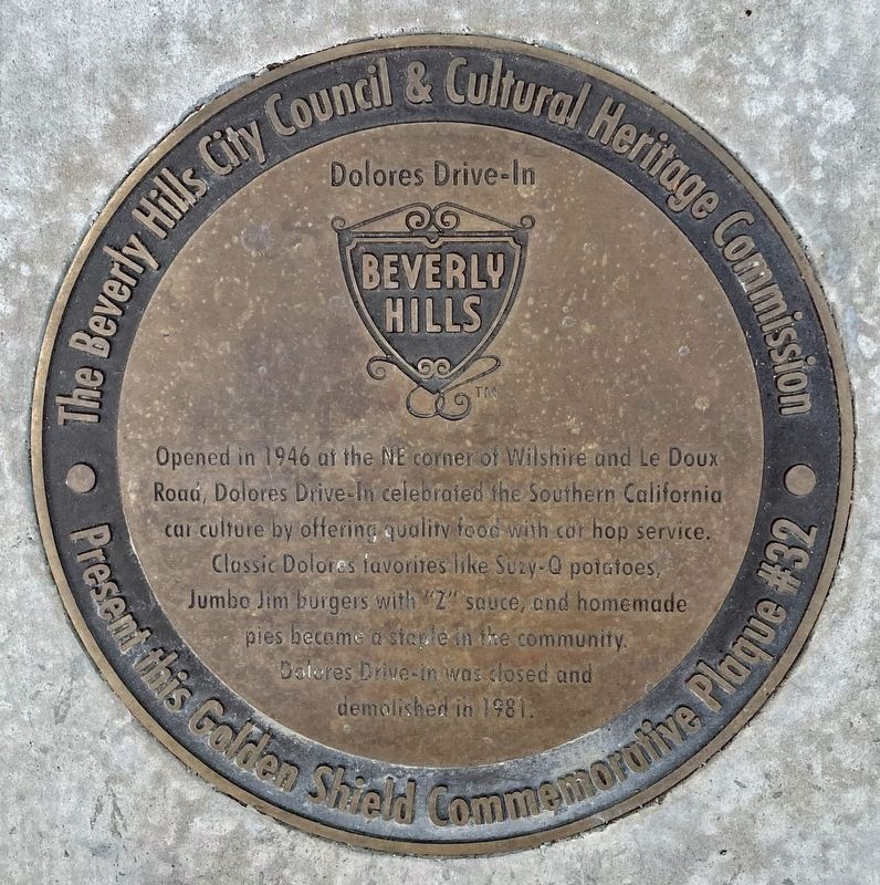
1. Dolores Drive-In Marker
Opened in 1946 at the NE corner of Wilshire and Le Doux Road, Dolores Drive-In celebrated the Southern California car culture by offering quality food with car hop service. Classic Dolores favorites like Suzy-Q potatoes, Jumbo Jim burgers with "Z" sauce, and homemade pies became a staple in the community. Dolores Drive-in was closed and demolished in 1981.
Erected 2026 by City of Beverly Hills. (Marker Number 32.)
Topics. This historical marker is listed in these topic lists: Food & Drink • Industry & Commerce. A significant historical year for this entry is 1946.
Location. 34° 3.93′ N, 118° 22.62′ W. Marker is in Beverly Hills, California, in Los Angeles County. It is at the intersection of Wilshire Boulevard and Le Doux Road, on the right when traveling west on Wilshire Boulevard. Touch for map. Marker is at or near this postal address: 8501 Wilshire Blvd, Beverly Hills CA 90211, United States of America. Touch for directions.

Regionally, this marker is in Greater Los Angeles and in the Transverse Ranges. It is also on the American Pacific Coast. Globally, it is in North America, on the Ring of
this page online
Other nearby markers. At least 8 other markers are within walking distance of this marker: Fine Arts - Ahrya Theater (about 300 feet away, measured in a direct line); John Wayne Statue (about 600 feet away); Lawry’s (approx. 0.2 miles away); Portolá Trail (approx. ¼ mile away); "Snowshoe" Thompson (approx. 0.6 miles away); Juan Bautista de Anza (approx. 0.6 miles away); Daniel O. McCarthy (approx. 0.6 miles away); Jedediah Strong Smith (approx. 0.7 miles away). Touch for a list and map of all markers in Beverly Hills.
Also see . . . Golden Shield Program. (Submitted on November 17, 2026.)
Photographed by Craig Baker, November 16, 2026
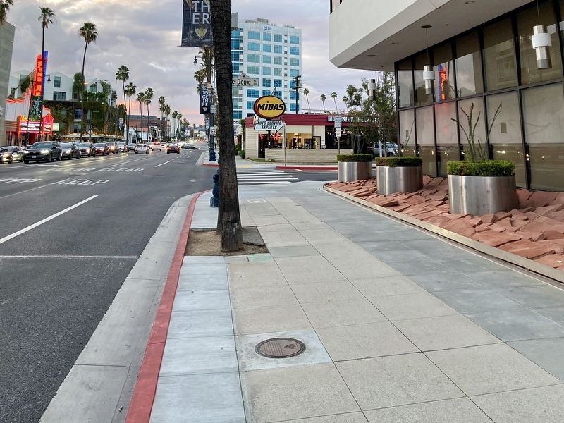
2. Dolores Drive-In Marker
The marker lays flat in the sidewalk.
Photographed by Craig Baker, November 16, 2026
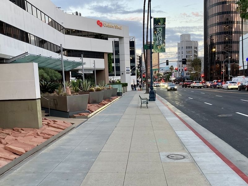
3. Dolores Drive-In Marker
courtesy Beverlyhills.org
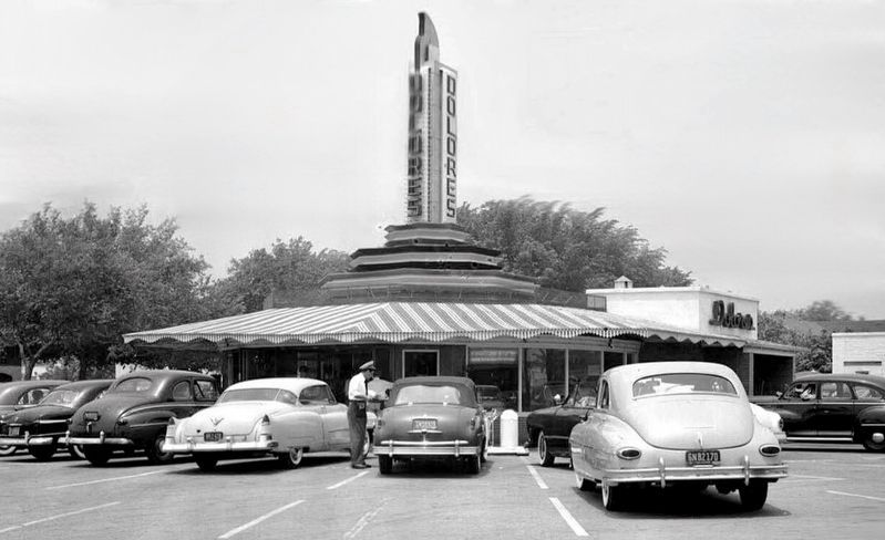
4. Dolores Drive-In, 1957
Credits. This page was last revised on November 17, 2026. It was originally submitted on November 17, 2026, by Craig Baker of Sylmar, California. This page has been viewed 8 times since then. Photos: 1, 2, 3, 4. submitted on November 17, 2026, by Craig Baker of Sylmar, California.
