
Crosby Township near New Haven in Hamilton County, Ohio — The American Midwest (Great Lakes)
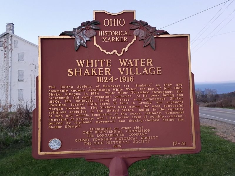
White Water Shaker Village
1824-1916
Photographed by Craig Doda, November 15, 2026
1. White Water Shaker Village Marker
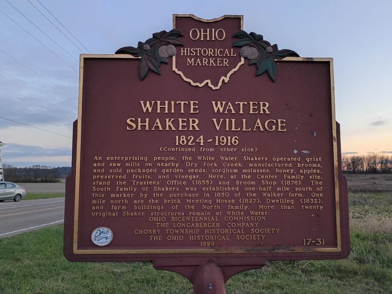
An enterprising people, the White Water Shakers operated grist and saw mills on nearby Dry Fork Creek, manufactured brooms, and sold packaged garden seeds, sorghum molasses, honey, apples, preserved fruits, and vinegar. Here, at the Center Family site, stand the Trustees' Office (1855) and Broom Shop (1876). The South Family of Shakers was established one-half mile south of this marker by the purchase in 1850 of the Walker farm.
this page online
Erected 1999 by Ohio Bicentennial Commission; The Longaberger Company; Crosby Township Historical Society; The Ohio Historical Society. (Marker Number 17-31.)
Topics and series. This historical marker is listed in these topic lists: Industry & Commerce • Religion & Religious Structures. In addition, it is included in the Communal and Utopian Societies, and the Ohio Historical Society / The Ohio History Connection series lists. A significant historical year for this entry is 1824.
Location. 39° 17.586′ N, 84° 44.444′ W. Marker is near New Haven, Ohio, in Hamilton County. It is in Crosby Township. It is at the intersection of Oxford Road and Dick Road, on the right when traveling south on Oxford Road. Touch for map. Marker is at or near this postal address: 11347 Oxford Road, Harrison OH 45030, United States of America. Touch for directions.

Regionally, this marker is in Greater Cincinnati. It is also in the American Midwest and in the Ohio River Valley.
Photographed by Craig Doda, November 15, 2026
2. White Water Shaker Village Marker
Other nearby markers. At least 8 other markers are within 3 miles of this marker, measured as the crow flies: Meeting House (approx. 0.8 miles away); Dwelling (approx. 0.8 miles away); Welcome to White Water Shaker Village (approx. 0.8 miles away); Sisters' Shop (approx. 0.8 miles away); Brethren's Shop (approx. 0.8 miles away); Milk House (approx. 0.8 miles away); The Stable (approx. 0.8 miles away); Paddy's Run (approx. 2.7 miles away). Touch for a list and map of all markers in New Haven.
Also see . . . Whitewater Shaker Settlement (Wikipedia). (Submitted on November 18, 2026.)
Photographed by Craig Doda, November 15, 2026
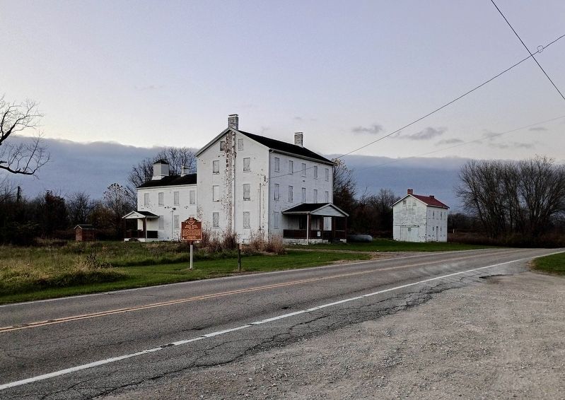
3. White Water Shaker Village Marker
Photographed by Craig Doda, November 15, 2026
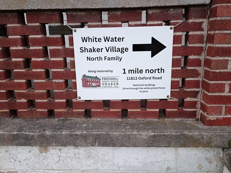
4. White Water Shaker Village Marker
Credits. This page was last revised on November 18, 2026. It was originally submitted on November 18, 2026, by Craig Doda of Napoleon, Ohio. This page has been viewed 7 times since then. Photos: 1, 2, 3, 4. submitted on November 18, 2026, by Craig Doda of Napoleon, Ohio. • Andrew Ruppenstein was the editor who published this page.
