
Greenback in Loudon County, Tennessee — The American South (East South Central)
The Greenback Depot
Photographed by David Rozzelle, November 18, 2026
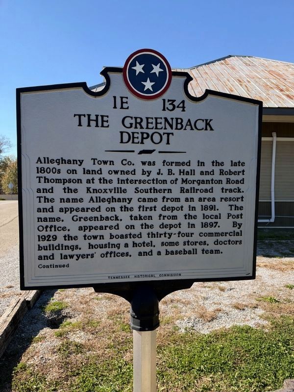
1. The Greenback Depot, Side One
Alleghany Town Co. was formed in the late 1800s on land owned by J. B. Hall and Robert Thompson at the intersection of Morganton Road and the Knoxville Southern Railroad track. The name Alleghany came from an area resort and appeared on the first depot in 1891. The name, Greenback, taken from the local Post Office, appeared on the depot in 1897. By 1929 the town boasted thirty-four commercial buildings, housing a hotel, some stores, doctors and lawyers' offices, and a baseball team.
Side 2
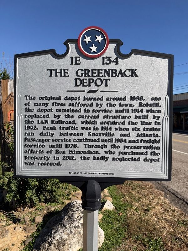
The original depot burned around 1898, one of many fires suffered by the town. Rebuilt, the depot remained in service until 1914 when replaced by the current structure built by the L&N Railroad, which acquired the line in 1902. Peak traffic was in 1914 when six trains ran daily between Knoxville and Atlanta. Passenger service continued until 1954 and freight service until 1978. Through the preservation efforts of Ron Edmondson, who purchased the property in 2012, the badly neglected depot was rescued.
Erected by Tennessee Historical Commission. (Marker Number 1E 134.)
Topics. This historical marker is listed in this topic list: Railroads & Streetcars. A significant historical year for this entry is 1891.
Location. 35° 39.671′ N, 84° 10.293′ W. Marker is in Greenback, Tennessee, in Loudon County. It is at the intersection of Morganton Road and Walnut Street, on the left when traveling east on Morganton Road. Touch for map. Marker is at or near this postal address: 6736 Morganton Rd, Greenback TN 37742, United States of America. Touch for directions.

Regionally, this marker is in East Tennessee and
this page online
Other nearby markers. At least 8 other markers are within 5 miles of this marker, measured as the crow flies: Norwood Inn (approx. 2 miles away); Cloyd's Creek Presbyterian Church (approx. 2.6 miles away); Morganton Crossing (approx. 3.2 miles away); Militia Springs (approx. 3.3 miles away); National Campground (approx. 3.4 miles away); Baker's Creek Church (approx. 3½ miles away); Near the Site of Henry Fort (approx. 3.8 miles away); Samuel Henry's Station (approx. 4.3 miles away). Touch for a list and map of all markers in Greenback.
Photographed by David Rozzelle, November 18, 2026
2. The Greenback Depot, Side Two
Photographed by David Rozzelle, November 18, 2026
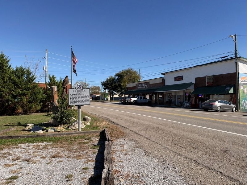
3. Greenback Depot Marker, facing east toward Greenback
Photographed by David Rozzelle, November 18, 2026
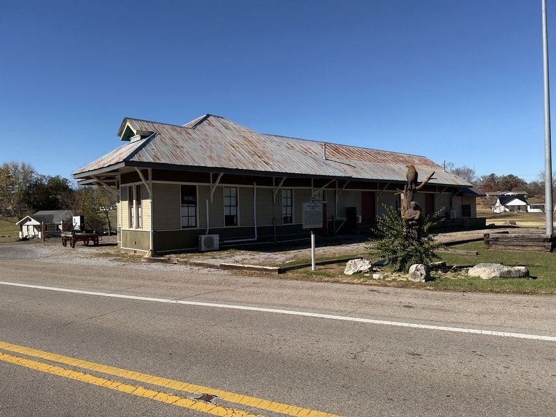
4. Greenback Depot Marker facing west.
Credits. This page was last revised on November 20, 2026. It was originally submitted on November 18, 2026, by David Rozzelle of Knoxville, Tennessee. This page has been viewed 13 times since then. Photos: 1, 2, 3, 4. submitted on November 18, 2026, by David Rozzelle of Knoxville, Tennessee. • James Hulse was the editor who published this page.
