
Milford Mine Memorial Park near Wolford in Crow Wing County, Minnesota — The American Midwest (Upper Plains)
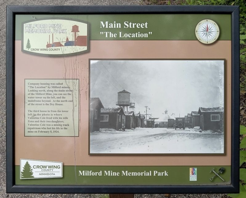
Main Street
"The Location"
| — | Milford Mine Memorial Park | — |
Photographed by McGhiever, June 27, 2025
1. Main Street Marker
Company housing was called "The Location" by Milford miners. Looking north, along the main street of the Milford Mine, you can see the water tower on the left, and the mainframe beyond. At the north end of the street is the Dry House.
The third house in from the lower left in the photo is where Valentine Cole lived with his wife Zena and their two daughters. Valentine Cole was a mining track repairman who lost his life in the mine on February 5, 1924.
Erected by Crow Wing County.
Topics. This historical marker is listed in these topic lists: Disasters • Industry & Commerce • Settlements & Settlers.
Location. 46° 32.027′ N, 93° 58.33′ W. Marker is near Wolford, Minnesota, in Crow Wing County. It is in Milford Mine Memorial Park. It can be reached from Milford Lake Drive. The marker is just south of trail intersection #3. Touch for map. Marker is in this post office area: Crosby MN 56441, United States of America. Touch for directions.

Regionally, this marker is in the Northland. It is also in the American Midwest, in the Corn Belt, and in the Great
this page online
Other nearby markers. At least 8 other markers are within walking distance of this marker: Family Housing (a few steps from this marker); Milford Mine Historic District (a few steps from this marker); Looking North (within shouting distance of this marker); Dry House (within shouting distance of this marker); Water Tank (within shouting distance of this marker); Engine House (within shouting distance of this marker); Milford Miners (about 400 feet away, measured in a direct line); Example of Timberwork Along the Main Shaft (about 400 feet away). Touch for a list and map of all markers in Wolford.
Photographed by McGhiever, June 27, 2025
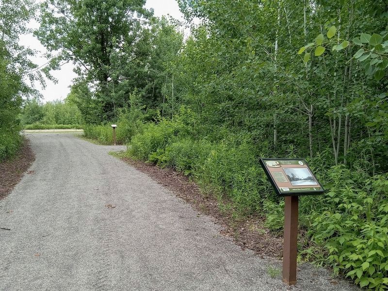
2. Main Street Marker (right) in Milford Mine Memorial Park
Credits. This page was last revised on November 19, 2026. It was originally submitted on November 19, 2026, by McGhiever of Minneapolis, Minnesota. This page has been viewed 9 times since then. Photos: 1, 2. submitted on November 19, 2026, by McGhiever of Minneapolis, Minnesota.
