
Milford Mine Memorial Park near Wolford in Crow Wing County, Minnesota — The American Midwest (Upper Plains)
Family Housing
Milford Mine "Main Street"
| — | Milford Mine Memorial Park | — |
Photographed by McGhiever, June 27, 2025
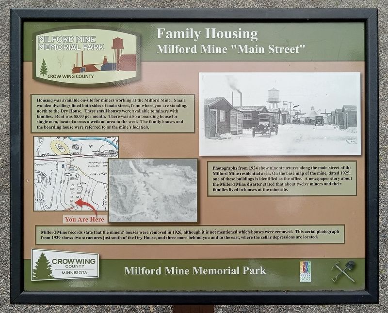
1. Family Housing Marker
Housing was available on-site for miners working at the Milford Mine. Small wooden dwellings lined both sides of main street, from where you are standing, north to the Dry House. These small houses were available to miners with families. Rent was $5.00 per month. There was also a boarding house for single men, located across a wetland area to the west. The family houses and the boarding house were referred to as the mine's location.
Photographs from 1924 show nine structures along the main street of the Milford Mine residential area. On the base map of the mine, dated 1925, one of these buildings is identified as the office. A newspaper story about the Milford Mine disaster stated that about twelve miners and their families lived in houses at the mine site.
Milford Mine records state that the miners' houses were removed in 1926, although it is not mentioned which houses were removed. This aerial photograph from 1939 shows two structures just south of the Dry House, and three more behind you and to the east, where the cellar depressions are located.
Erected by Crow Wing County.
Topics. This historical
this page online
Location. 46° 32.021′ N, 93° 58.336′ W. Marker is near Wolford, Minnesota, in Crow Wing County. It is in Milford Mine Memorial Park. It can be reached from Milford Lake Drive. The marker is south of trail intersection #3. Touch for map. Marker is in this post office area: Crosby MN 56441, United States of America. Touch for directions.

Regionally, this marker is in the Northland. It is also in the American Midwest, in the Corn Belt, and in the Great River Road Region. Globally, it is in North America, the Great North Woods, the Western Hemisphere, the Western World, and the Anglosphere. Historically, it finds itself in what was once Rupert’s Land, the territory of the Mississippian Culture, and the Northwest Territory.
Other nearby markers. At least 8 other markers are within walking distance of this marker: Main Street (a few steps from this marker); Milford Mine Historic District (within shouting distance of this marker); Looking North (within shouting distance of this marker); Dry House
Photographed by McGhiever, June 27, 2025
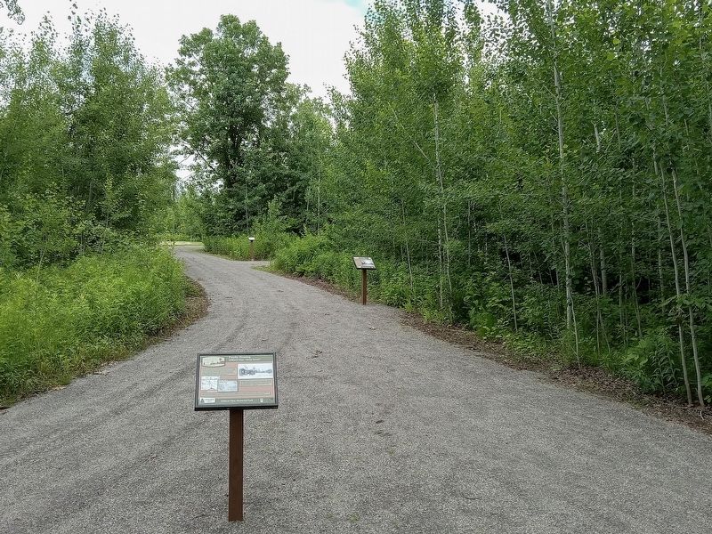
2. Family Housing Marker (foreground) in Milford Mine Memorial Park
Credits. This page was last revised on November 19, 2026. It was originally submitted on November 19, 2026, by McGhiever of Minneapolis, Minnesota. This page has been viewed 7 times since then. Photos: 1, 2. submitted on November 19, 2026, by McGhiever of Minneapolis, Minnesota.
